Easily convert your DWG/DXF files to KML/KMZ for Google Earth quickly and accurately. You can export the entire drawing or only a selection of specific objects, preserving the structure, layers, and styles of the original CAD file–all in a single step.
Available for AutoCAD, BricsCAD, ZWCAD and GstarCAD.
1. The drawing must be georeferenced
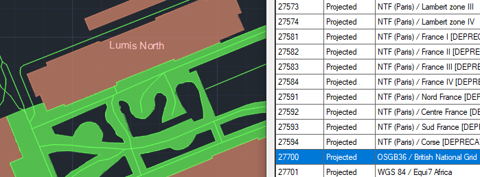
- Run the SPMSETCRS command and check if the drawing has a coordinate system assigned. If not, you can search by code, name, or location (country, city, etc.).
- To confirm the drawing is properly georeferenced, run SPMBGMAPSHOW command, select any background map and check if the map matches the drawing location.
2. The attached data will also be exported
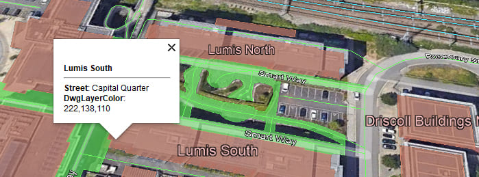
- If the geometries have attached data (Extended Entity Data), this data will also be exported to KML/KMZ and can be viewed in Google Earth.
- For reviewing and editing the attached data, you can use the SPMDATATABLEGRID command.
3. Convert to KML or KMZ
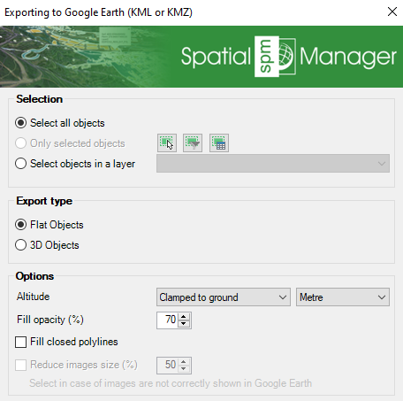
- Run SPMCREATEKML command.
- Select the objects to export.
- Choose the output file type: KML or KMZ (compressed KML).
4. Open in Google Earth
- Open Google Earth and load the generated KML/KMZ file to visualize the drawing in its location.
- Review the object data by clicking on them.
- The styles (colors) of the original DWG file will be maintained in Google Earth.
- The objects will be organized in folders according to their layers and geometry types.
Note: Some features are available only in the Standard or Professional editions.


