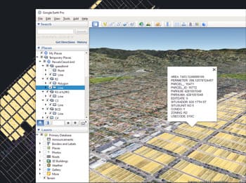
Spatial Manager™ for ZWCAD includes a specific command designed to Export all or part of the objects in the visible Layers of the drawing and their data, to a KML or KMZ file (Google Earth) through a one-click operation
The current Layers organization and the properties of the Layers and objects are considered when creating the resulting GE file, and this file can be opened directly in Google Earth (if installed)
Quick creation and use
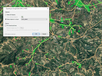
Regardless of the advanced Export capabilities of the application, the user will find a specific tool to Export all or part of the objects in the visible Layers of the drawing and their data, to a KML or KMZ file (Google Earth) through a one-click operation. In addition it is possible to open the file directly in Google Earth (if installed)
Clone the drawing
The process will consider the current Layers organization and the properties of the Layers and objects. The elements in the KML/KMZ file will assume the colors, weights, etc. of the objects in the drawing. A subdivision based on the types of the objects in the Layers will be also created for each Layer
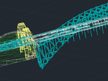
Export 3D objects New V8
3D modeled objects are exported to Google Earth (KML/KMZ) in a very easy and intuitive way. Different altitude and height modes are available (relative to ground, sea floor, absolute...)
Selection by Query in Spatial Manager allows you to select objects in the drawing or map according to data values in the data tables. Not only can these queries be... more
Google Earth allows you to save any image of the maps that are shown on the screen considering which are the active Places and Layers along with a configuration file... more
Although you can find several examples in this Blog where you can see how to export 3D objects to Google Earth basing their altitudes on an attached data or on... more
Google Earth includes a little-known function that allows you to analyze the elevation profiles of roads, streets, highways, railways, paths, etc. polylines. The tools for export/publish to KML or KMZ... more