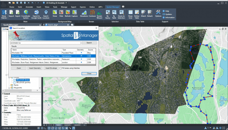
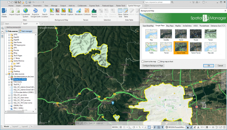
‘Spatial Manager’ dynamic Background Maps technology allows you to graphically enhance your maps and drawings, and turn them more readable and practical. In this example we will show you how to combine the image capture of the Maps with some tools included in the supported CAD applications (AutoCAD, BricsCAD and ZWCAD) in order to enhance or highlight areas of the maps
Related videos: AutoCAD / BricsCAD / ZWCAD
Thanks to the ‘Spatial Manager’ Search for Location function, we can find and insert as drawing objects the boundaries of geographical objects (such as Cities, States, Neighbourhoods, etc.), which allows us to quickly retrieve the Boundary Polylines that we can need to trim a captured image from a Background Map
The IMAGECLIP command provided by AutoCAD, BricsCAD or ZWCAD, executed as many times as necessary, will do the remaining work
Take a look at the above videos in order to review the whole process
Learn more about Capturing Background Maps images in the ‘Spatial Manager’ technical Wiki:
Learn more about Search for locations in the ‘Spatial Manager’ technical Wiki:
Notes:
- Background Maps functionality is available in the Standard and Professional Editions only
- Search for locations functionality is available in the Professional Edition only


