Spatial Manager creates contour lines from selected 3D points in your drawing, making it easier to see the shape of the ground. You can create 2D or 3D contours, set their spacing, and use layers and colors to tell major and minor contours apart. You can also add elevation labels and store each contour’s elevation and type in a data table.
Available for AutoCAD, BricsCAD, ZWCAD and GstarCAD.
1. Prepare the elevation points
- Make sure the drawing contains 3D points with meaningful Z values for the area to model.
2. Run the SPMTERRAIN command
- Run the SPMTERRAIN command and select option 2 Contours. You can also click Tools > Terrain > Contours in the toolbar.
- Select the points that should contribute to the contour calculation.
3. Contour options
- Set the minor and major contour intervals.
- Choose color by type or altitude
- Create text labels with information of the elevation value
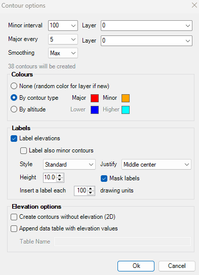
Contour options
4. Review contours
- Each contour is created at its elevation and displays an elevation label if selected.
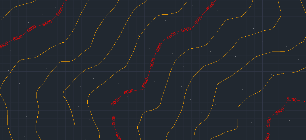
Contour labels
5. Color by altitude
- Alternatively, the contours can be created by gradient colors based on their elevation
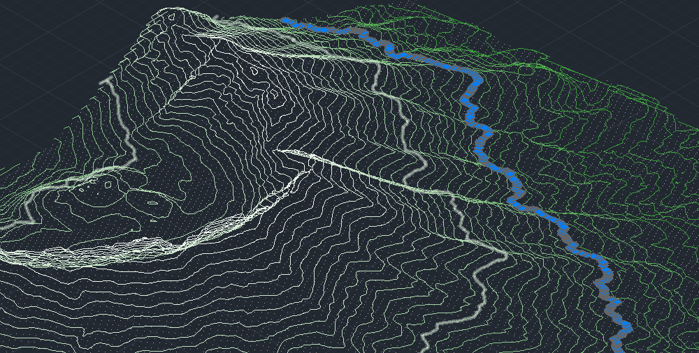
Color by altitude



