Blog (page 25)
The ASCII data files (often named “Comma-separated values” CSV), are one of the most common types of files to store Points tabular data. They are plain-text ASCII files, without binary numbers or any other data type that has to be... more
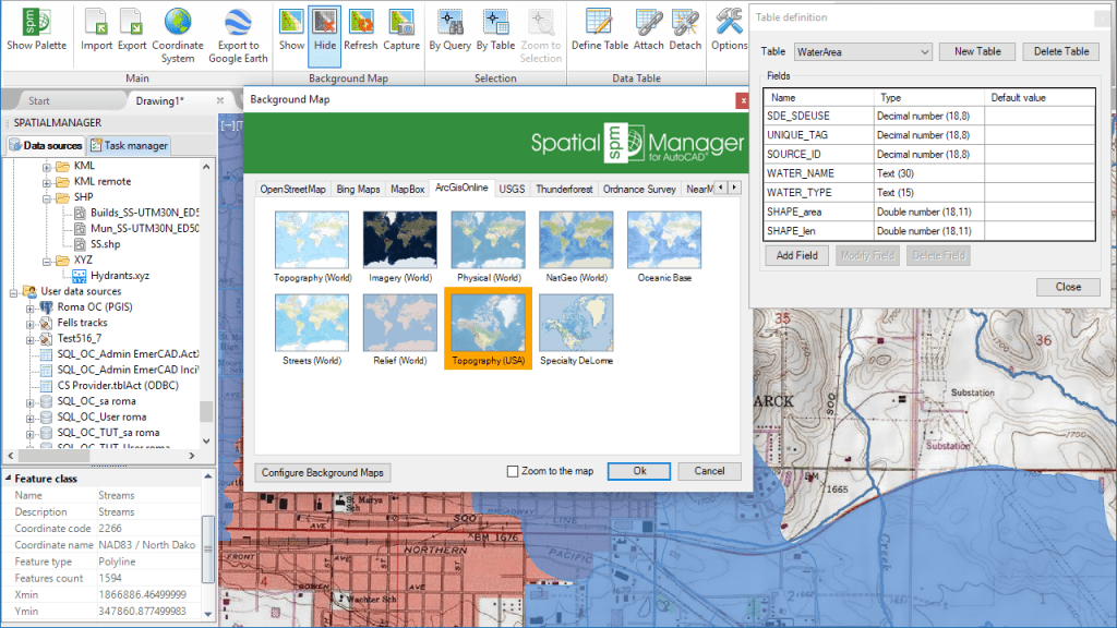
One of the functions most appreciated by ‘Spatial Manager’ users is the management of the Background Maps (‘BG Maps’) based on imagery downloaded in real time from map services or cartographic servers. The version 4 of this applications suite... more
The main version 4 (October 2017) collects and improves all the tools included over the last nineteen months adding amazing newsDesktop – AutoCAD – BricsCAD  more
more
As was said in another post from this Blog, the display of the Import parameters window is often delayed when importing some “heavy” data sources in AutoCAD or BricsCAD OpenStreetMap stands out as... more
‘Spatial Manager’ Background Maps technology allows AutoCAD or BricsCAD users to show in the drawings, dynamic images of Maps coming from XYZ/TMS, WMS or WMTS services. When printing or exporting to a PDF file a... more
When installing ‘Spatial Manager for AutoCAD or BricsCAD or ZWCAD or GstarCAD’ the setup program checks which compatible Autodesk or Bricsys or ZWSOFT or Gstarsoft programs are installed on the computer at that time and... more


