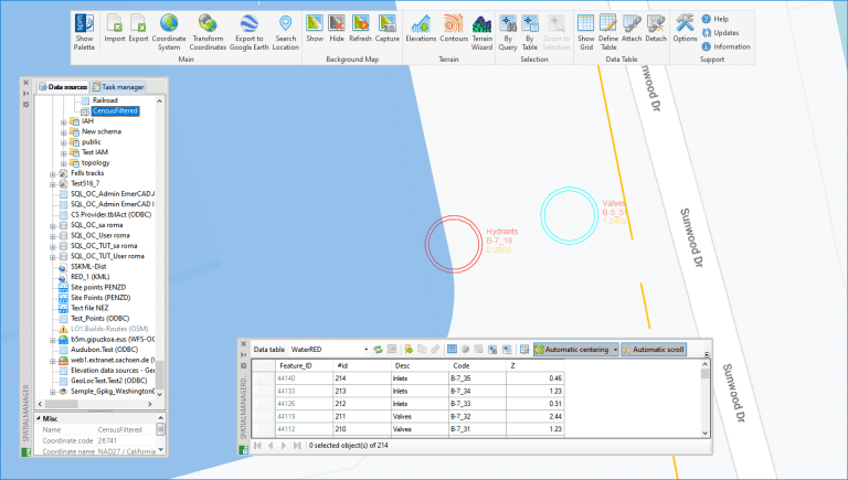
‘Spatial Manager’ includes many import options to get cartographic and spatial data organized, structured, labeled, filtered and customized from various sources. This post analyses the options for separating by layers not only the imported elements but also the texts that come from their attached data. You will see the advanced use of Blocks when importing in AutoCAD, BricsCAD, ZWCAD or GstarCAD
Related videos: AutoCAD / BricsCAD / ZWCAD / GstarCAD
In the examples shown in the videos above, point elements are first imported as CAD Points from the drawing separating them by Layers. In the second part, with a clearly more interesting content, a Block with Attributes is defined in different Layers to allow visualizing not only the desired elements but also the textual data needed in the plane
It is interesting to know how the layers freeze/thaw works when applied to Layers containing theBlocks themselves as well as to Layers containing Block Attributes
Please, take a look at the videos
Learn more about Importing functions in the ‘Spatial Manager’ technical Wiki:
- Spatial Manager for AutoCAD
- Spatial Manager for BricsCAD
- Spatial Manager for ZWCAD
- Spatial Manager for GstarCAD
Note: The Data Grid functionality is available in the Professional edition only


