Many users ask us about the possibility of working with Spatial Manager™ for AutoCAD and AutoCAD LT. Because of the intrinsic limitations of AutoCAD LT this is not possible, but here is a practical workaround using Spatial Manager Desktop™
AutoCAD LT
AutoCAD LT</a> is a version of AutoCAD which has some functional restrictions, including the inability to execute applications developed using any platform of development or the AutoCAD APIs
This restriction prevents AutoCAD LT users of running Spatial Manager™ for AutoCAD and from importing spatial features from multiple sources such as files, databases or stores, as AutoCAD objects. This happens with all applications developed for AutoCAD

Spatial Manager Desktop™
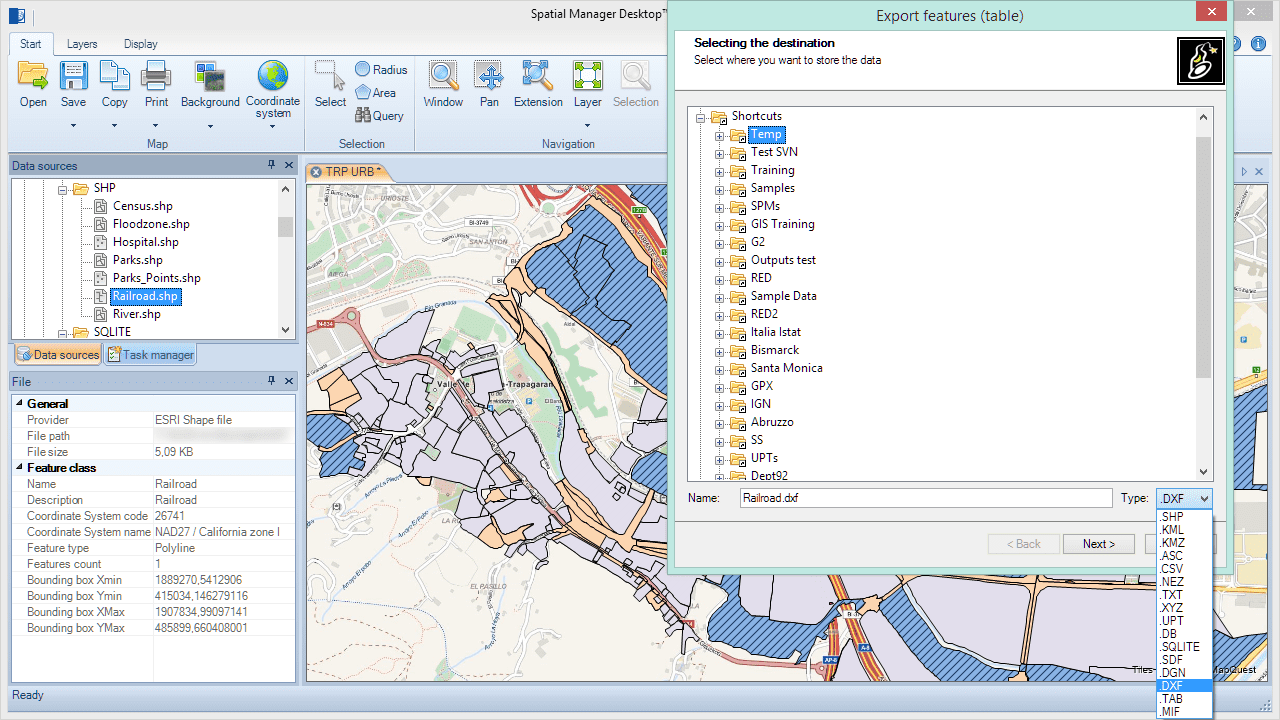
Spatial Manager Desktop™ is a standalone desktop application that allows any Windows user to perform multiple operations of processing and management of spatial data among which you will find data export to other formats or locations
Spatial Manager Desktop™ includes the same data providers and the same engine for the transformation of coordinates as Spatial Manager™ for AutoCAD, so the spatial features can be exported to 2D DXF files
Thus, any user who needs to incorporate into AutoCAD drawings spatial information coming from Shapefiles (SHP), Google Earth KML, OpenStreetMap, Excel, PostGIS and many other data sources, can export it (2D geometries, but no data) to DXF files which can be opened, inserted, etc. within AutoCAD LT with identical options that the DWG files have
You can buy the Basic edition of Spatial Manager Desktop™ for a very low price and do these types of export operations and many others that will also greatly facilitate the management of your spatial data. If you want more functionality in the application, you can also choose the Standard edition or the Professional edition
Examples using Spatial Manager Desktop™ and AutoCAD LT
Example 1: In this case we export the contents of a Shapefile (SHP) to a DXF file then open it in AutoCAD LT
Example 2: Here we perform a slightly more complex operation that will show you some of the practical possibilities of using jointly Spatial Manager and AutoCAD LT
We need to bring a layer of road axes to the drawing of a city that we are editing in AutoCAD LT. First we seek at OpenStreetMap the city and we download its mapping information as an OSM file. Then we export the features corresponding to the roads from the OSM file to a DXF file to insert it into the city drawing
Please, watch the video:


