Spatial Manager Blog : CAD L2 (Medium) (page 18)

Fill Polylines while Publishing in Google Earth
A very exciting feature in ‘Spatial Manager’ applications is Publishing any drawing or map in ‘Google Earth’. This function runs “by one click” but you can setup two parameters: The objects to be Published and the option to Fill closed Polylines while publishing... more
Support for Ordnance Survey – Schema 9 products
‘Spatial Manager’ software supports now the most recent version of the ‘Ordnance Survey’ products. The Schema 9, with which you can get more information about structures like bridges and telecommunications masts. In rural areas, agricultural land is now identified. And... more

Export improvements in AutoCAD and BricsCAD
The Export functionality allows the ‘Spatial Manager’ users to communicate from AutoCAD or BricsCAD with a world of applications and many other users in the Spatial, Geographical and GIS disciplines. It is the main differential feature in the ‘Professional Edition’ of the applications and... more

Select by query in AutoCAD and BricsCAD
In order to increasingly add spatial or territorial analysis tools to the CAD applications, ‘Spatial Manager’ now includes the functionality to select graphic objects based on their alphanumeric data. The easy-to-use but powerful technology already used in Desktop has been reprogrammed in AutoCAD and... more
Publishing your drawing or map in Google Earth (one click)
Regardless of the advanced Export capabilities of ‘Spatial Manager’, the applications include a specific function designed to Publish the drawing or map and their data to Google Earth through an instantaneous one-click operation GIS, Landscaping, Surveying, etc.:
Snapshots of Background maps
Now Spatial Manager™ for AutoCAD or BricsCAD includes the command SPMBGMAPIMAGE that allows you to create (capture) a Raster Image corresponding to the display view of the current ‘Background Map’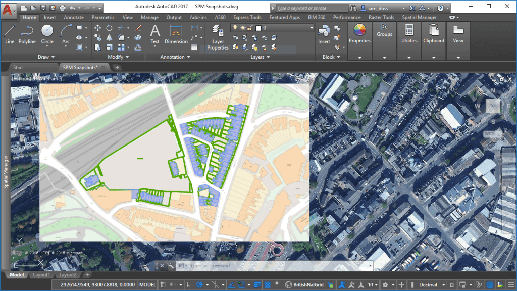 more
more