Blog : Background Maps (page 5)
In the latest version of ‘Spatial Manager’ for CAD applications (AutoCAD / BricsCAD / ZWCAD), you will find a new configuration option that allows you to improve the visual quality of the ‘Background Maps’Click on the image below... more
One of the functions most appreciated by ‘Spatial Manager’ users is the management of the Background Maps (‘BG Maps’) based on imagery downloaded in real time from map services or cartographic servers. The version 4 of this applications suite... more
‘Spatial Manager’ Background Maps technology allows AutoCAD or BricsCAD users to show in the drawings, dynamic images of Maps coming from XYZ/TMS, WMS or WMTS services. When printing or exporting to a PDF file a... more
‘Spatial Manager’ software supports now the most recent version of the ‘Ordnance Survey’ products. The Schema 9, with which you can get more information about structures like bridges and telecommunications masts. In rural areas, agricultural land is now identified. And... more
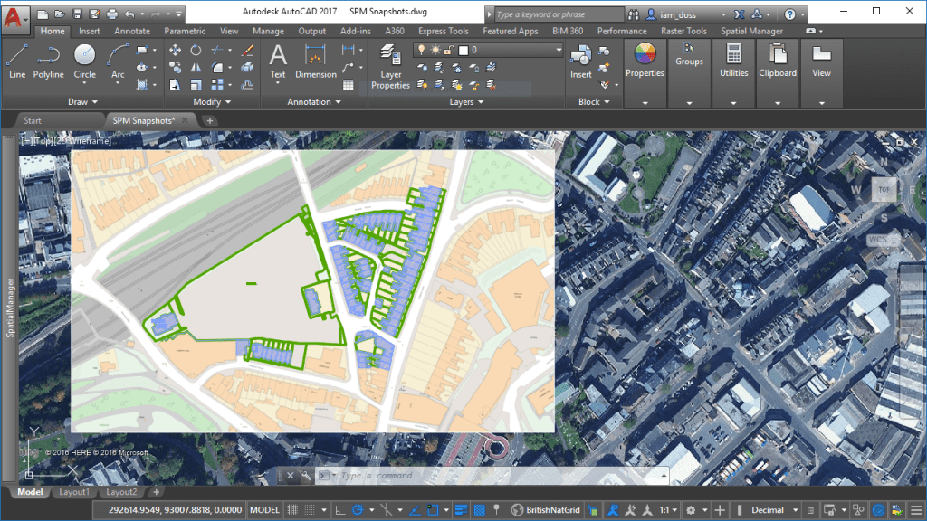
Now Spatial Manager™ for AutoCAD or BricsCAD includes the command SPMBGMAPIMAGE that allows you to create (capture) a Raster Image corresponding to the display view of the current ‘Background Map’ more
more
Although the ‘Spatial Manager’ applications include many Background map models that can be chosen directly when you need to display them, you may be interested in access to many others maps available around the world. The “classic look” map of OpenStreetMap cannot be freely distributed within... more


