A new ‘Spatial Manager’ version (4.2) has been recently released. In addition to other interesting new features, this release is ‘AutoCAD 2019’ compatible. Download it and enjoy from today the enhancements and new functions included in ‘AutoCAD 2019’ and ‘Spatial Manager for AutoCAD 4.2’
Import/export spatial or GIS data into/from AutoCAD (2008 to 2019) (*), and experience the advanced tools to manage spatial data, such as dynamic background maps, quick drawing publishing in Google Earth, data structures, queries, layer thematics, automatic labeling, etc.
(*) And other related Autodesk products
‘Spatial Manager for AutoCAD’ 2019 compatible
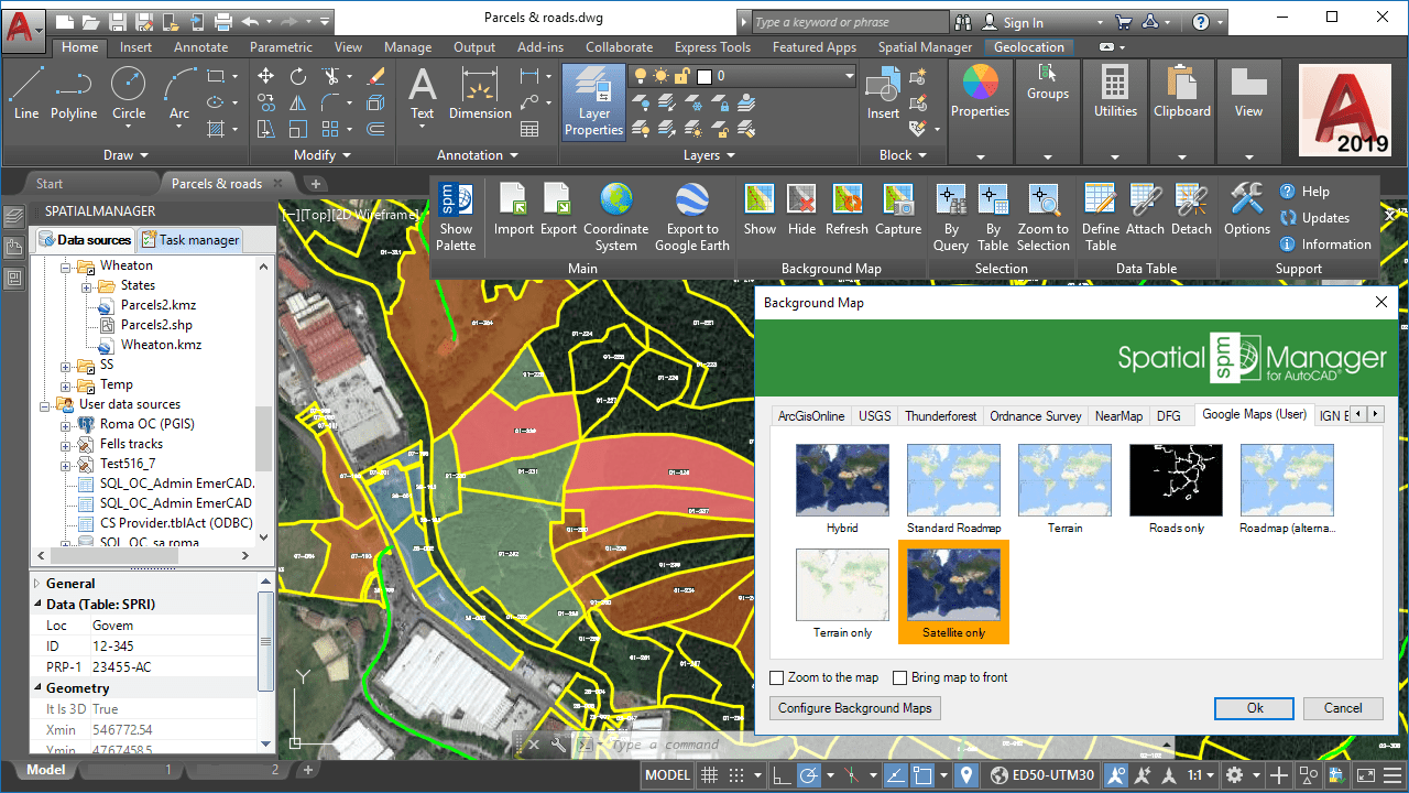
New ‘Spatial Manager’ Raster Images data provider in AutoCAD 2019
New features and improvements:
- Very useful for maps that include transparent areas
- Related video
- Related Blog entry
- Choice of the image format
- Generation of the geo-reference file (World File)
- Related video
- Related Blog entry
- New LiDAR files data provider
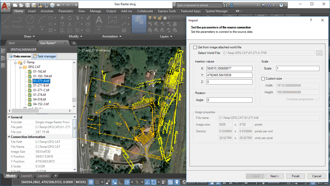
- New georeferenced Raster images data provider
- References via “World File” (TFW, JGW, etc.) or Geotiff
- Related video
- Related Blog entry
- Name, Angle, Scale, etc.
- Related video
- Related Blog entry
- Compatible with the new data providers for LiDAR files and Raster images
- Select from among several options the CRS of unreferenced data sources to import
-
Distribute the objects in Layers according to the source Table name
- Interesting for files that can contain several tables (SDF, SQLITE, etc.)
- Related video
- Related Blog entry
- English, French, German, Portuguese, Spanish


