Regardless of the advanced Export capabilities of ‘Spatial Manager’, the applications include a specific function designed to Publish the drawing or map and their data to Google Earth through an instantaneous one-click operation
GIS, Landscaping, Surveying, etc.:
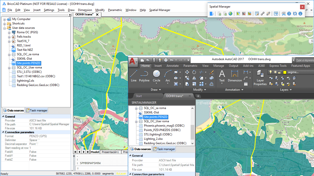
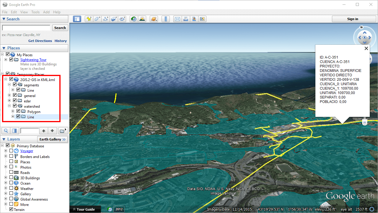
Publish to Google Earth (sample 1)
Engineering, Planning, Architecture, Optical fiber, etc.:
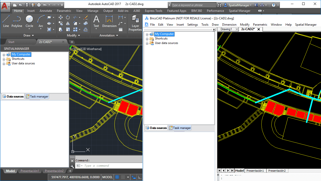
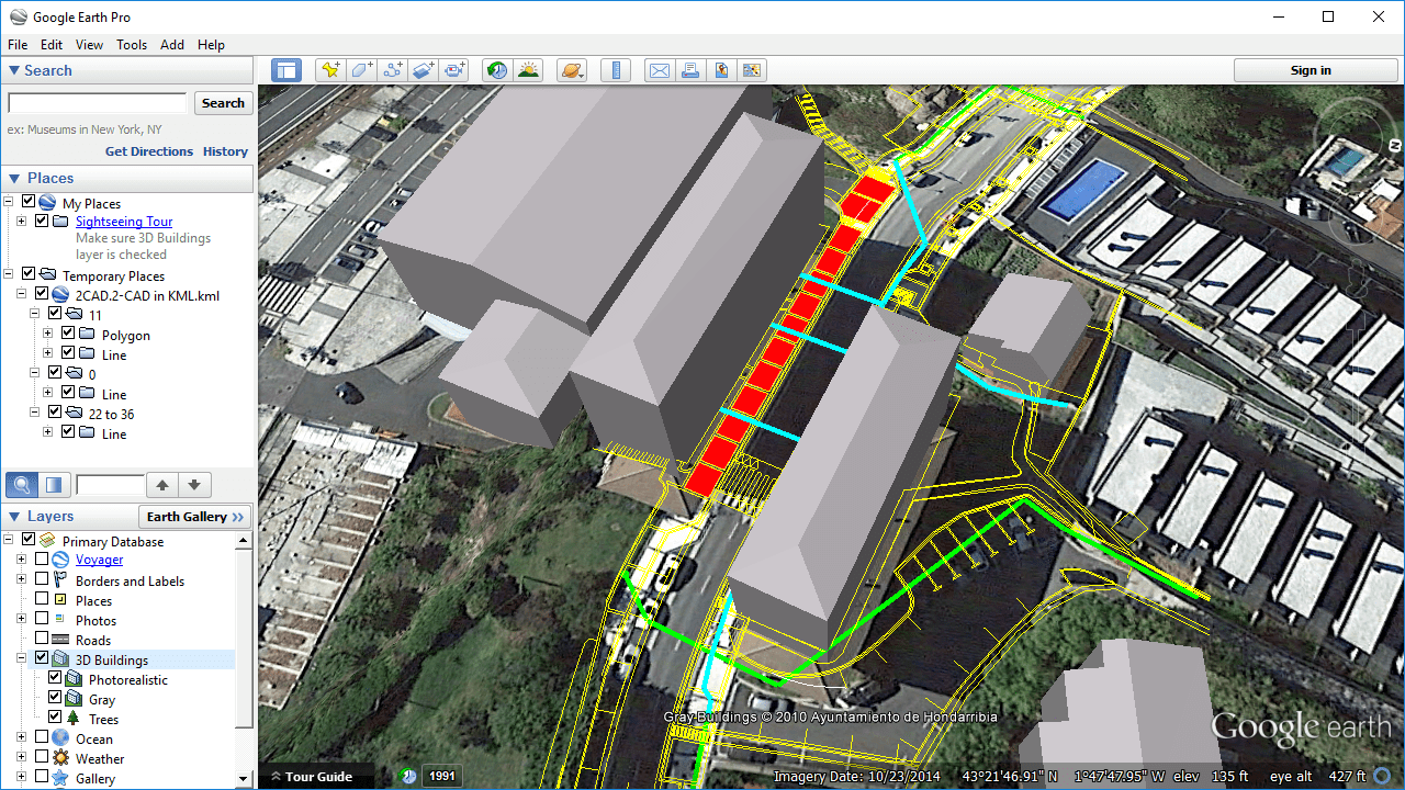
Publish to Google Earth (sample 2)
Related videos: AutoCAD / BricsCAD / Desktop
Key features:
1.- One click operation
2.- Only the visible layers will be Published
3.- Splitting by layer plus splitting by object type
4.- Selective Publishing: All the drawing/map or a selection only
5.- Equivalent stylization of lines, polygons, etc.
6.- Publishing the data tables too
7.- Direct opening of the resulting KML or KMZ file in Google Earth (if installed)
The Publishing process considers the current Layers organization and the properties of the Layers and objects. Thus, the elements in the KML/KMZ file will assume the colors, weights, etc. of the objects in the drawing or map
A subdivision based on the type(s) of the objects in the Layers will also be created for each Layer, allowing you a high level of visibility control in Google Earth
The values for the “NAME” and “DESCRIPTION” of the elements in the KML/KMZ file will be automatically taken from the data fields “Name” and “Description” if those exist
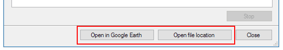
If Google Earth is installed on the computer where the Publishing process was performed, you can open it using a button in the report window. Nevertheless, upon completion of the process you can open the target file (KML or KMZ) location directly
You can Publish all the objects in a drawing/map, a selection of objects or all the objects in a Layer
Note: The “Publish to Google Earth” functionality is available in the “Standard” and “Professional” editions only


