Advanced import tools in BricsCAD
Import data easily using wizards, palettes, or batch tools
Discover the full potential of this set of tools designed to enhance GIS data integration and editing within BricsCAD.
Objects imported into a new or open drawing
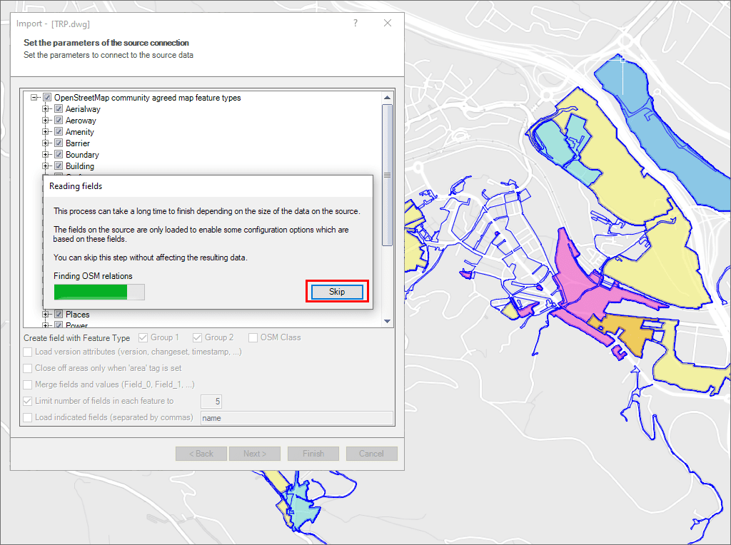
Speed up the processes skipping some wizard steps
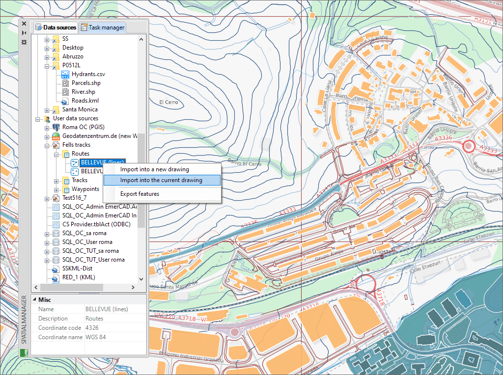
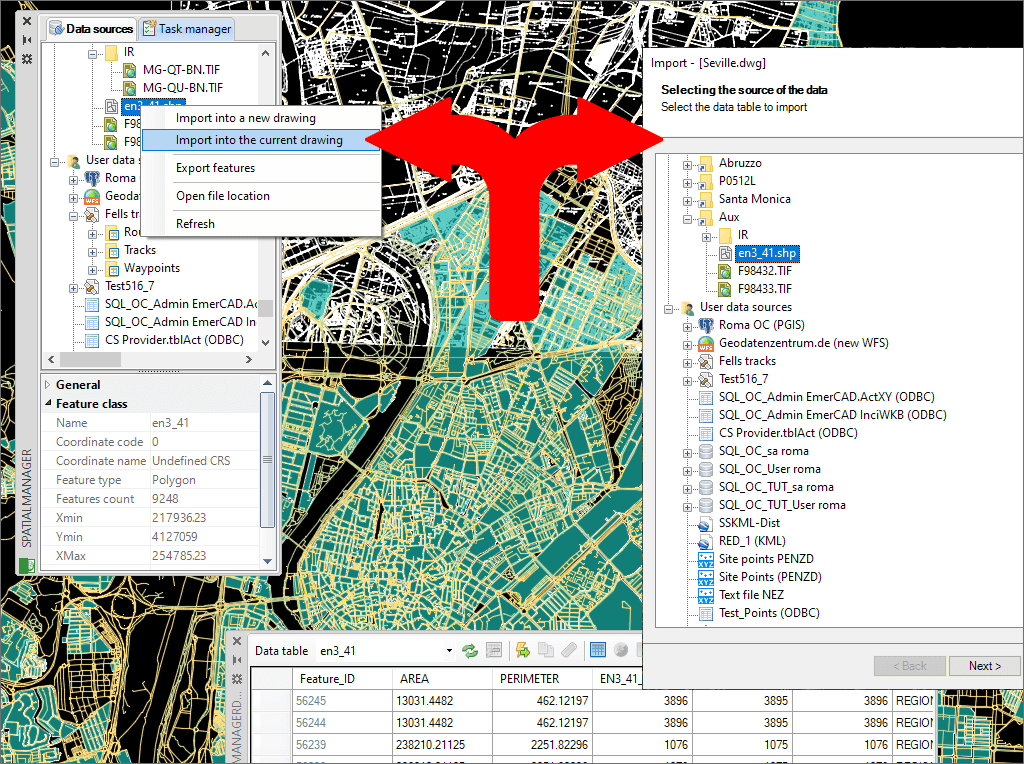
Use the intuitive palette options or the quick import function
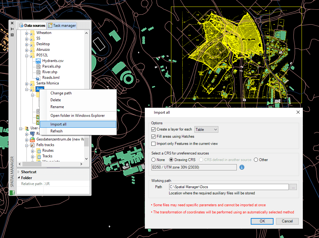
Batch import
Import Google Earth objects into BricsCAD
How to import shapefiles into BricsCAD
Import coordinates from Excel to BricsCAD
Import CSV into BricsCAD
Import KML to BricsCAD
Import points into BricsCAD
Ordnance Survey in BricsCAD
Import OpenStreetMap data into BricsCAD
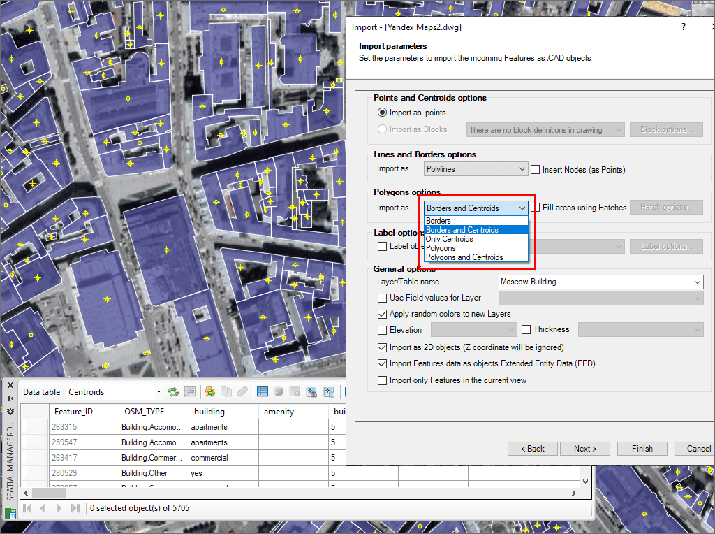
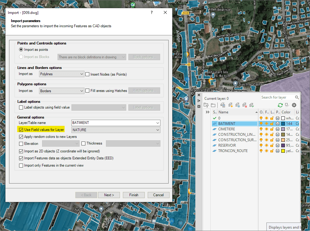
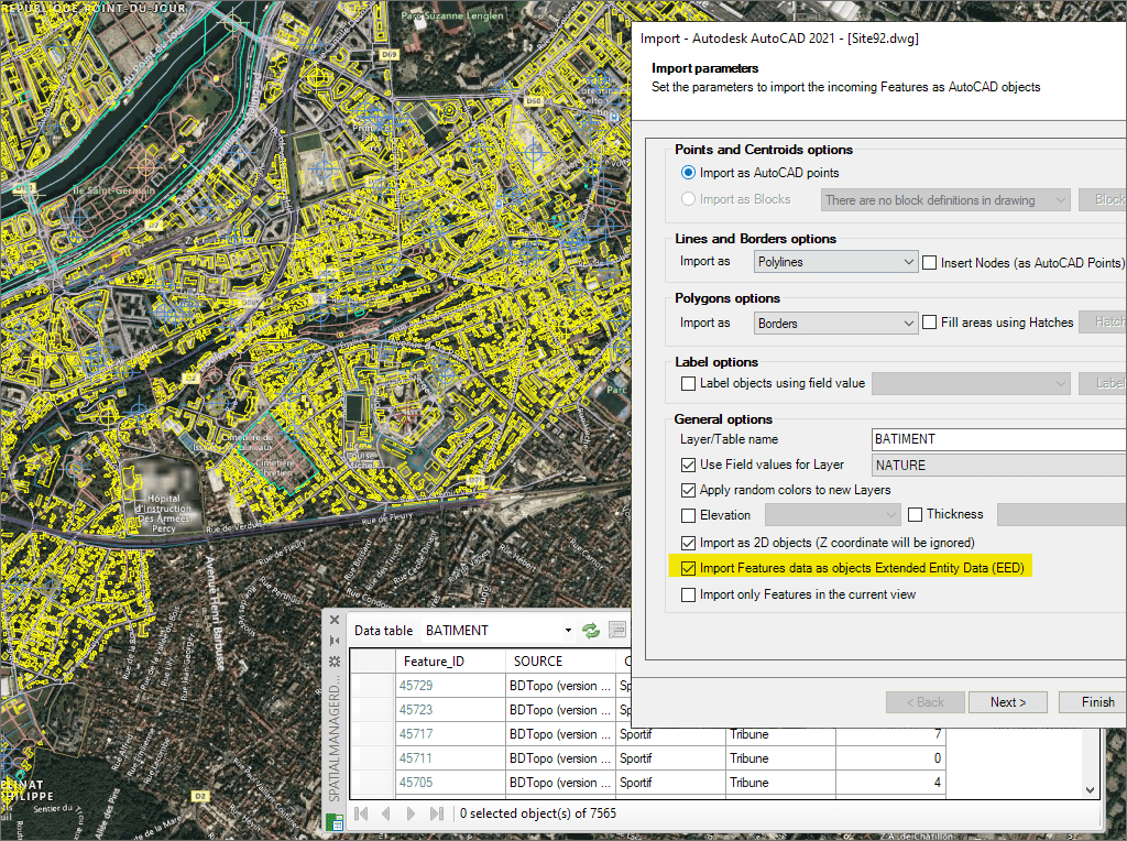
Import attribute data as XDATA for smarter BricsCAD drawings
* Only available in Standard and Professional editions
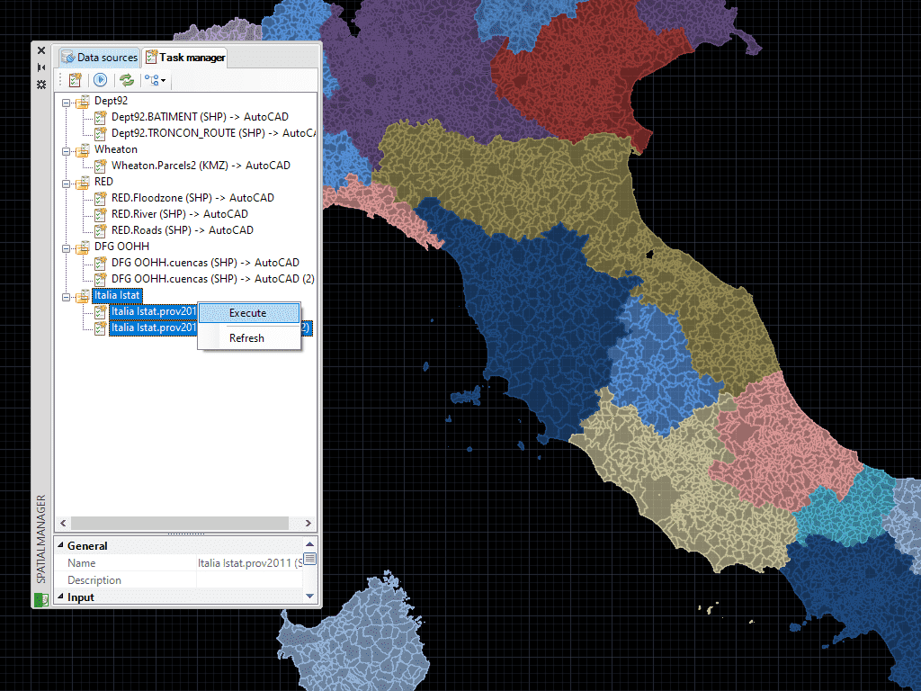
Save Tasks in BricsCAD to replay import processes (including all process parameters) so many times as desired
* Only available in Professional edition

Access and import authoritative LINZ (Land Information New Zealand) vector datasets directly into your DWG through the LINZ WFS (Web Feature Service). Spatial Manager connects to the WFS endpoint and... more

Download and import official Land Information New Zealand (LINZ) data into a DWG using Spatial Manager, either through open services (WFS / OGC API Features) or distributed files (SHP, GeoJSON,... more

View detailed, high-resolution LINZ background maps directly in your DWG through WMTS services–no prior tile download required. Spatial Manager connects to the LINZ WMTS endpoint, requests only the tiles needed... more

OGC API Features is a modern, RESTful standard developed by the Open Geospatial Consortium (OGC) for accessing and managing geospatial feature data over the web. It is the evolution of... more