Custom grid files
The application allows loading custom grid files for NTv2 and Nadcon coordinate transformations
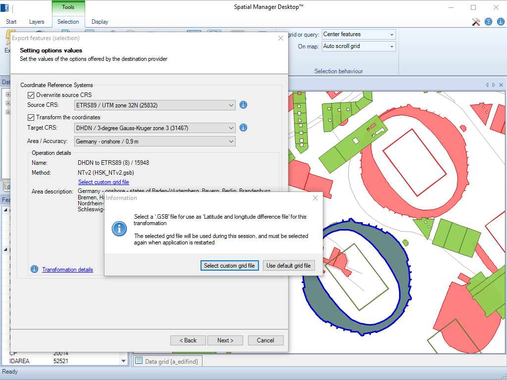
Custom grid files
These grids allow users to apply high-precision geodetic corrections when converting between coordinate systems, enhancing spatial data accuracy in projects that require national or regional geodetic standards.
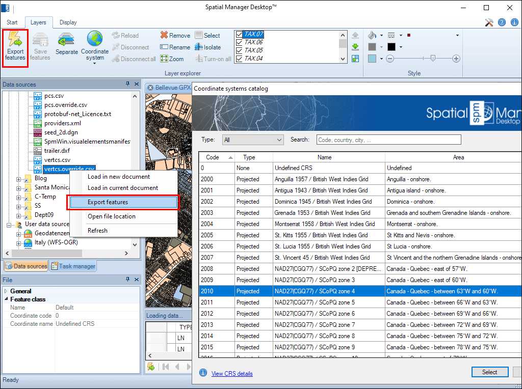
Geometric transformations of the features in line with the import or export processes. Coordinate reference system (CRS) of the source and the target data. Complete CRSs catalog. Drop down list including the favorite or most recent used CRSs
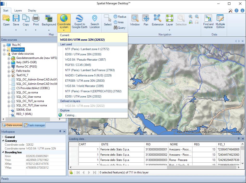
Any change in the Map CRS or in the Map Layers CRSs will result in an automatic document update. You can graphically check the coincidence or accuracy of the source information on the composed Map
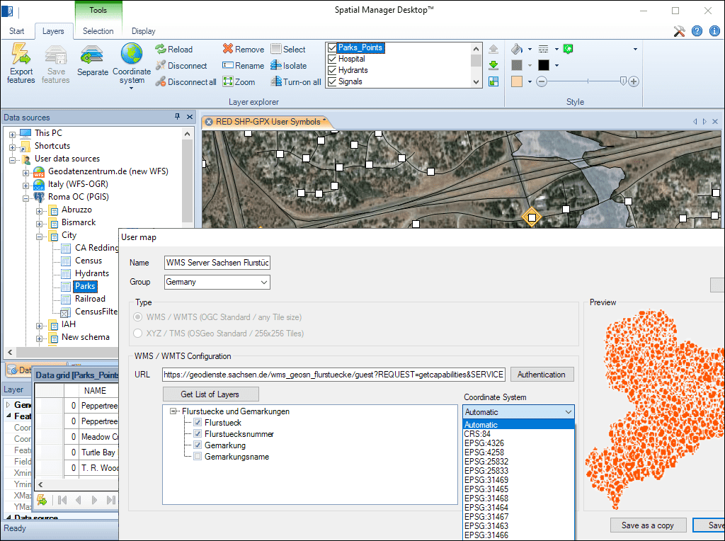
The Background Maps are also automatically adjusted according to their CRS and the CRS selected for the Map in the document. You can choose the CRS from those available for a user Background Map or let the application select the most appropriate one automatically
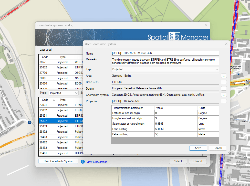
This function allows you to define your own Coordinate Systems to suit your specific needs

Many ‘Spatial Manager’ functions (Import, Export, Background Maps, etc.) can automatically perform a process of coordinates Transformation from the source to the target as part of the sequence executed by... more

An application whose primary focus is the spatial information handling (such as ‘Spatial Manager’), must include specific functionalities related to Coordinate Reference Systems (CRSs) and Transformations of geographic data (vector... more

Over the last few days a large number of Coordinate Systems used in Western Australia have been added to the ‘Spatial Manager’ geographic databases, along with all the required geographical... more

Using base maps (roads, aerial, etc.) from imagery providers allows, not only the composition of more attractive Maps in mapping applications, but also the use of these base images as a practical... more