Transformation of coordinates
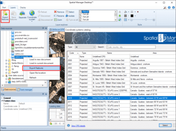
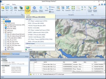
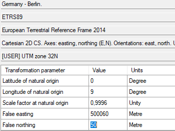
Geometric transformations of the features in line with the import or export processes. Coordinate reference system (CRS) of the source and the target data. Complete CRSs catalog. Drop down list including the favorite or most recent used CRSs
Maps always updated
Any change in the Map CRS or in the Map Layers CRSs will result in an automatic document update. You can graphically check the coincidence or accuracy of the source information on the composed Map
Adjusted Background Maps
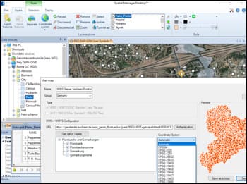
The Background Maps are also automatically adjusted according to their CRS and the CRS selected for the Map in the document. You can choose the CRS from those available for a user Background Map or let the application select the most appropriate one automatically
Custom grid files
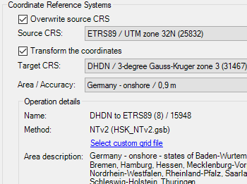
The application allows loading custom grid files for NTv2 coordinate transformations
