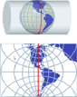
An application whose primary focus is the spatial information handling (such as ‘Spatial Manager’), must include specific functionalities related to Coordinate Reference Systems (CRSs) and Transformations of geographic data (vector or raster) between different CRSs
From version 4.2 onwards, ‘Spatial Manager’ allows you obtain detailed information about Coordinate Systems and Transformations between different systems
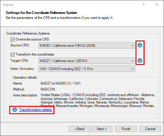
Access CRSs and Transformation detailed information
In any application window referring to CRSs (Import, Export, Assign CRS to drawing, etc.), you can find a small “i” to access the detailed information
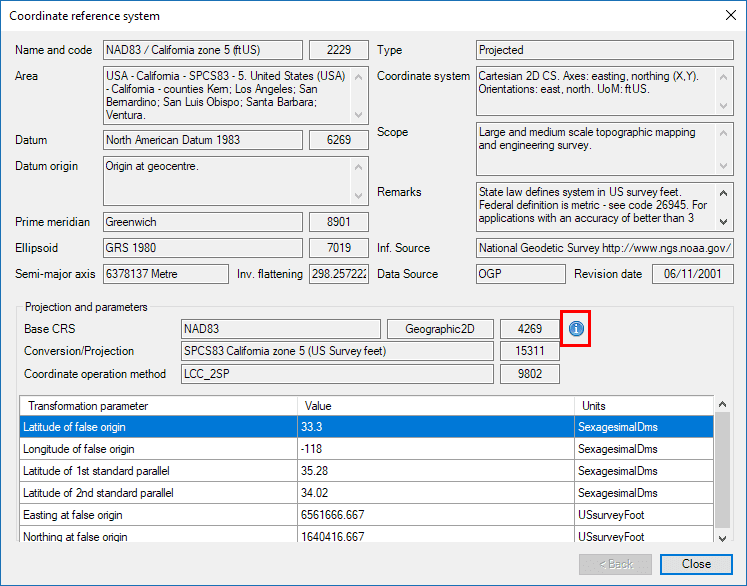
‘Spatial Manager’ CRS detailed information
Detailed CRS information:
- Datum
- Prime Meridian
- Ellipsoid
- Type
- Scope
- Projections and parameters
- Etc.
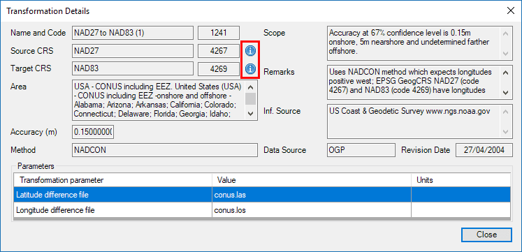
‘Spatial Manager’ Coordinate Transformation detailed information
Detailed Transformation information:
- Accuracy
- Method
- Scope
- Parameters
- Etc.
Learn more about Coordinate Systems and Transformations in the technical Wikis of ‘Spatial Manager’:
- Spatial Manager for AutoCAD
- Spatial Manager for BricsCAD
- Spatial Manager for ZWCAD
- Spatial Manager Desktop
Take a look at all the news and improvements in ‘Spatial Manager 4.2’