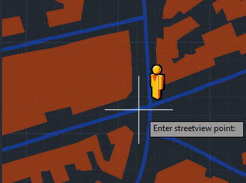
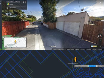
Within the integrated Street View palette, Spatial Manager™ for ZWCAD provides classic navigation controls including zoom, linear movement, and circular camera rotation.
Users can explore locations interactively and access detailed information about the displayed place—all without leaving the ZWCAD environment.
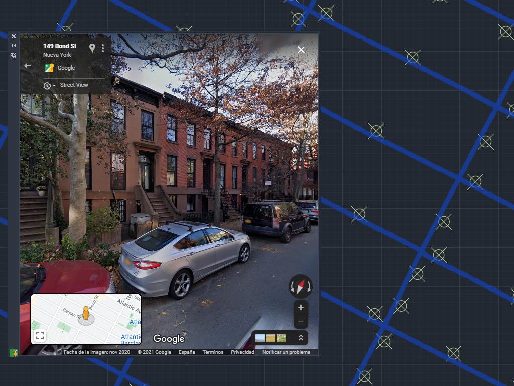
The Street View palette in ‘Spatial Manager’ (CAD versions) allows you to visualize dynamic Google Street View images directly in your CAD application by selecting a point on any geo-referenced... more
The Background Maps technology built into ‘Spatial Manager’ allows access to user-defined WMTS, WMTS and XYZ/TMS map servers, but also includes access to some of the most widely used image... more
Following several previous posts about how to configure and apply diverse parameters for Google Maps as dynamic Background Maps in ‘Spatial Manager’ (AutoCAD, BricsCAD, ZWCAD or Desktop), you can... more
The vast possibilities offered by access to cartographic information through the Internet will allow you to easily complete your drawings and maps in a very short time and accurately.... more