Discover the full potential of this set of tools designed to enhance GIS data integration and editing within GstarCAD.
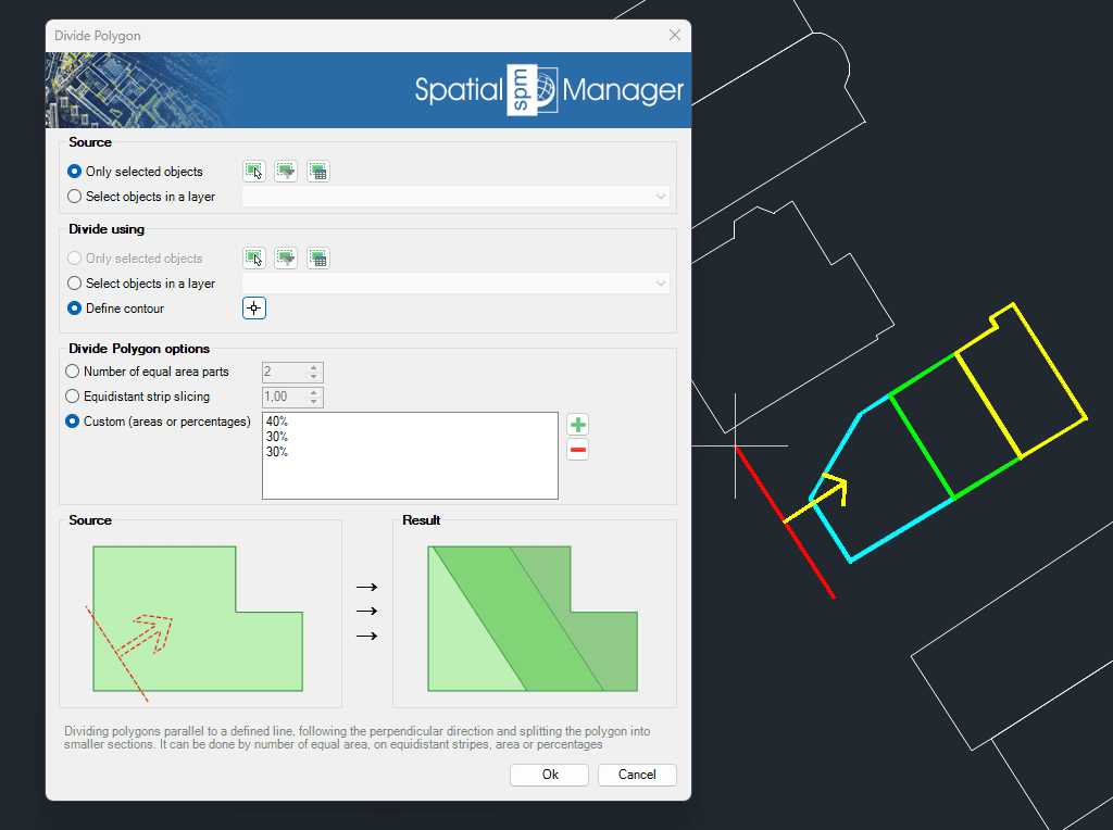
Divide Polygon
Splits polygons into smaller sections along lines parallel to a defined direction. This division can be based on a fixed number of parts, equal-area segments, equidistant stripes, or custom area percentages. The tool is ideal for land parceling, planning layouts, or preparing zoning maps, offering precision and flexibility in how the divisions are calculated and applied.
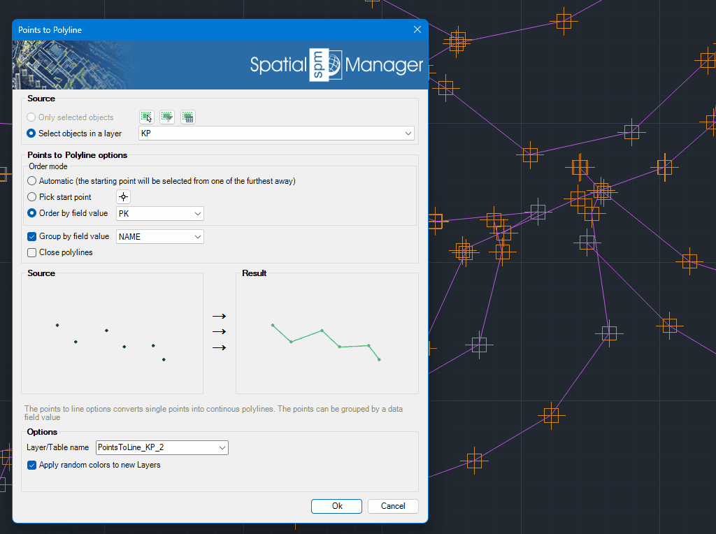
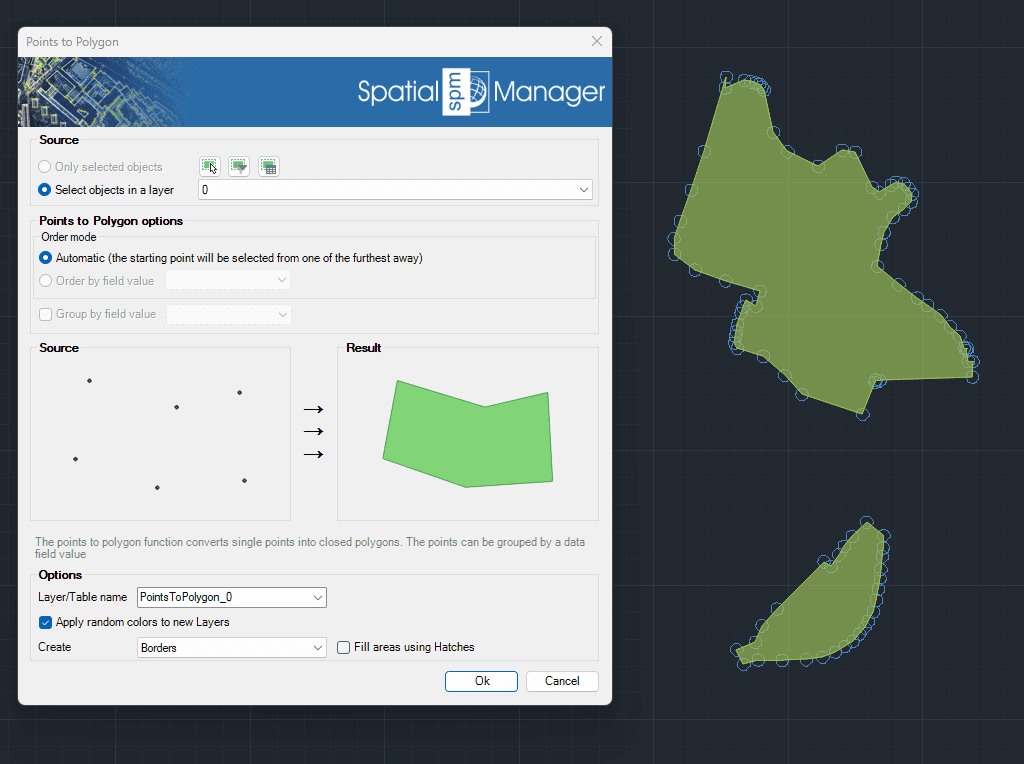
Points to Polygon
Creates closed polygon geometries by connecting individual points in sequence. This tool is particularly useful when reconstructing area features from boundary points, such as land plots or enclosures. Points can be grouped by a specified data field, enabling the generation of multiple polygons based on categorized point sets.
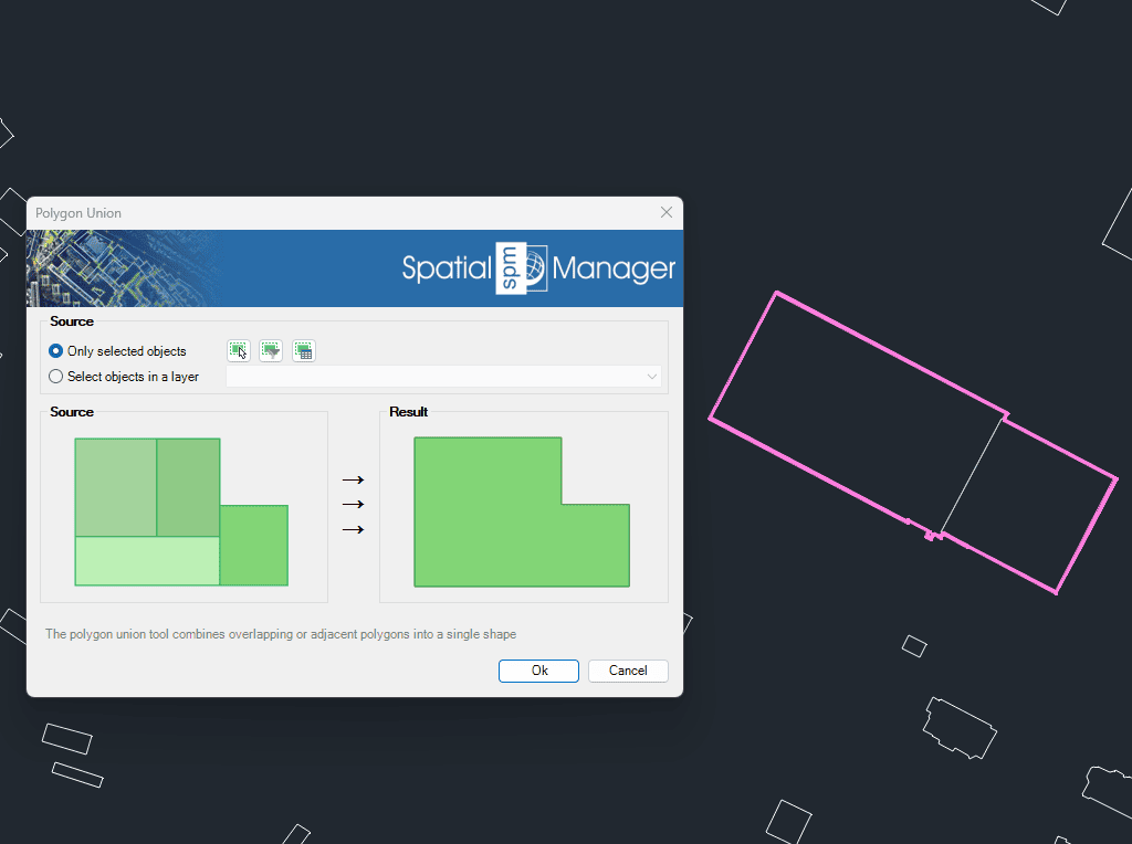
Polygon Union
Combines overlapping or adjacent polygons into a single, unified geometry. This tool simplifies complex datasets by removing internal boundaries and merging connected areas. It is essential for consolidating features such as land parcels, administrative zones, or habitat regions, ensuring cleaner and more efficient spatial data.
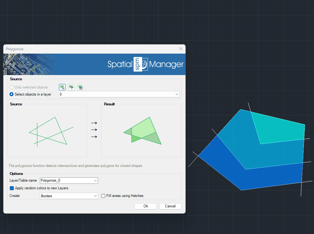
Polygonize
Automatically detects intersections between line geometries and generates polygons from the resulting closed shapes. This tool is ideal for transforming networks of lines—such as cadastral boundaries or urban layouts—into usable polygon features.