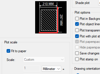
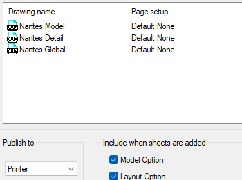
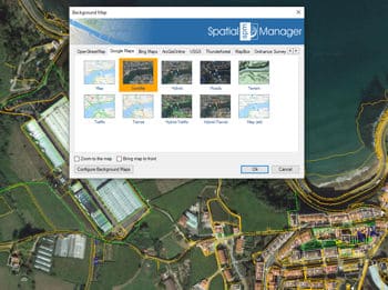
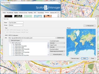
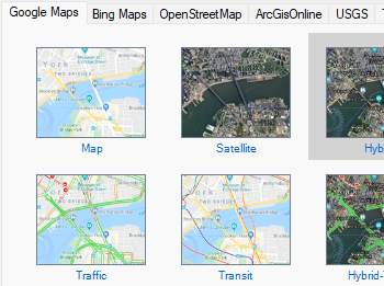
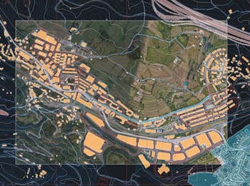
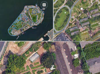
Incluye fácilmente el mapa de fondo seleccionado como parte de tus dibujos impresos o exportados, conservando el contexto geográfico en copias físicas o archivos digitales. También puedes publicar varias presentaciones a la vez, actualizando automáticamente el mapa de fondo activo en cada ventana gráfica.
Descubre todo el potencial de este conjunto de herramientas diseñado para mejorar la integración y edición de datos GIS dentro de ZWCAD.
Te permite incluir el mapa de fondo seleccionado como parte de tus dibujos finales impresos o exportados. Esto garantiza que el contexto geográfico proporcionado por el mapa se conserve en copias físicas o exportaciones digitales.
Trace múltiples presentaciones en un solo paso; la vista activa del mapa de fondo se actualizará en cada ventana gráfica.
Mapflow is a cutting-edge geospatial intelligence platform leveraging artificial intelligence to automatically identify and classify geographic objects—such as buildings, roads, and forested areas—within satellite and aerial imagery.... more
The Farm Service Agency of the U.S. Department of Agriculture (USDA) provides some web services for accessing the National Agriculture Imagery Program (NAIP). Spatial Manager products provide an easy way... more
The Street View palette in ‘Spatial Manager’ (CAD versions) allows you to visualize dynamic Google Street View images directly in your CAD application by selecting a point on any geo-referenced... more
In this post we will review the tools provided by ‘Spatial Manager’ for accessing geographic dataset services, both imagery and vector. This example will use some of the datasets provided... more