Transformaciones inteligentes de coordenadas en BricsCAD
Transformación automática de coordenadas con variantes seleccionables
Descubre todo el potencial de este conjunto de herramientas diseñado para mejorar la integración y edición de datos GIS dentro de BricsCAD.
Transformación automática de coordenadas
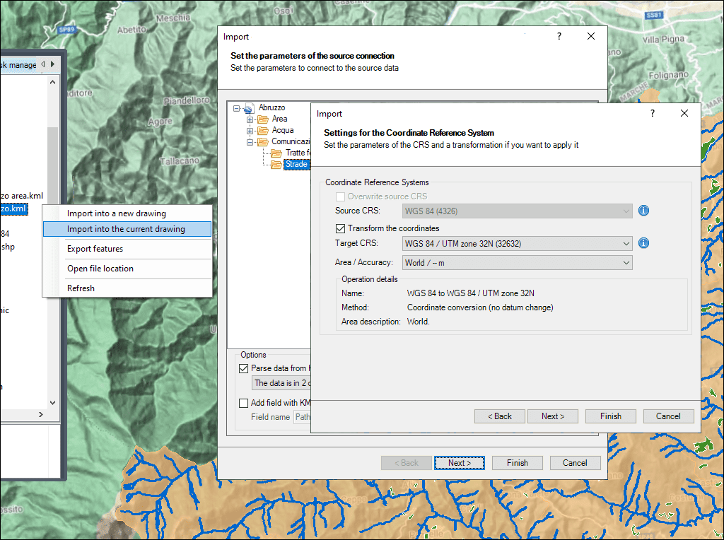
Variantes de transformación
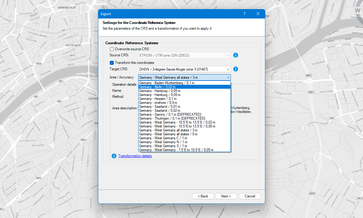
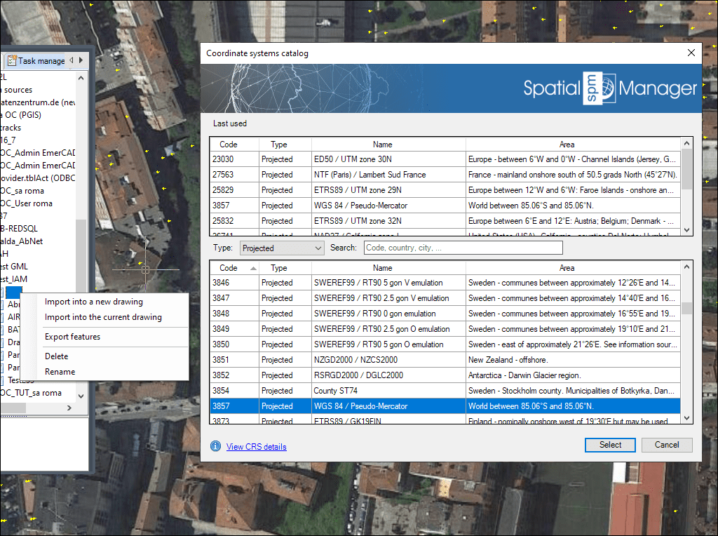
Catálogo unificado de CRS para asignación y transformación de coordenadas
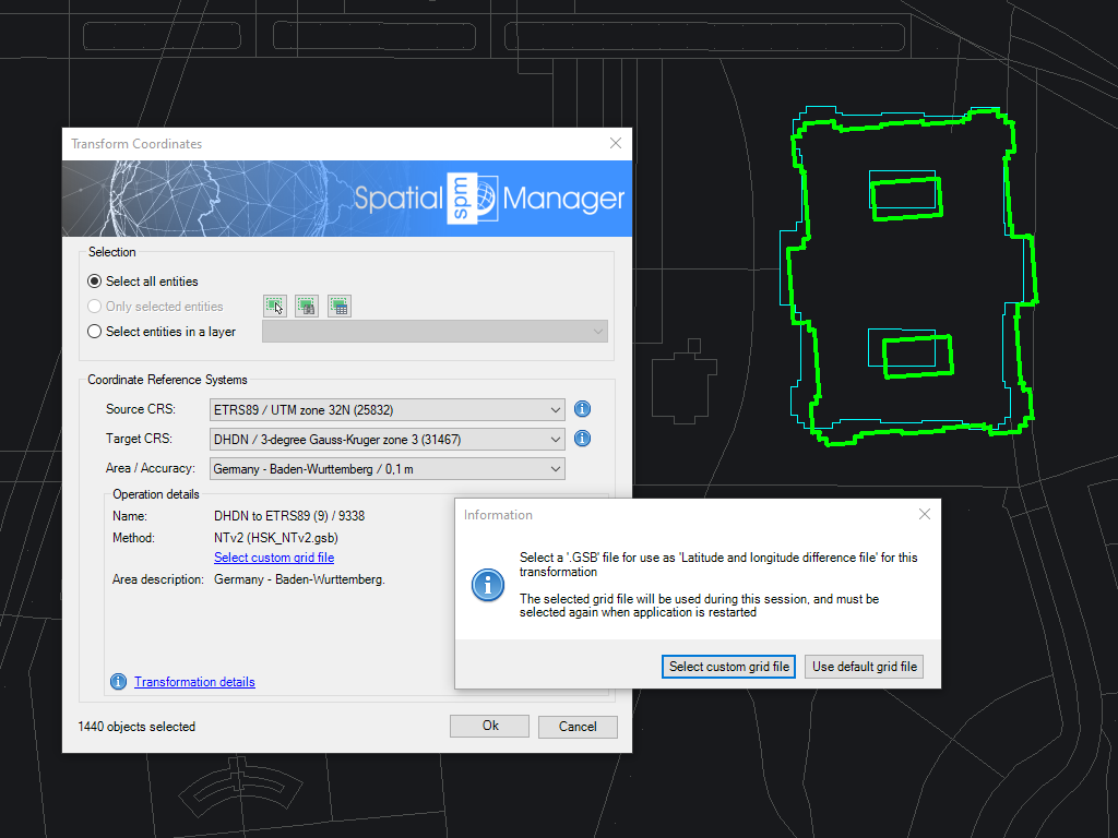
Carga archivos de rejilla personalizados y define sistemas de coordenadas personalizados
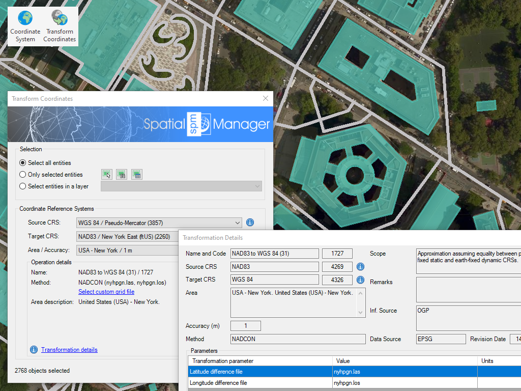
Transforme el Sistema de Coordenadas (CRS) de un dibujo o de un conjunto de objetos seleccionados, y se generará automáticamente un nuevo dibujo incluyendo los objetos del dibujo original regenerados geométricamente según la transformación elegida entre dos CRSs
* Disponible únicamente en la edición Professional

Rubber sheeting refers to a method in mapping and surveying where a map or spatial data is adjusted or “stretched” to align with a reference map or coordinate system. This... more

When working with data sets from different sources, there are often differences in alignment between elements. The SPMRUBBERSHEET command allows you to select base points and reference points to modify... more

Many ‘Spatial Manager’ functions (Import, Export, Background Maps, etc.) can automatically perform a process of coordinates Transformation from the source to the target as part of the sequence executed by... more

The functionality of transforming the coordinate system (CRS) of a drawing in ONE STEP is one of the tools most requested by the application users. This operation, which in some... more