Geo-codificación Inversa en AutoCAD
Obtener las direcciones postales de los objetos del dibujo
Obtenga datos como la calle, el municipio, el código postal, etc. y añádalos a los objetos existentes
Geo-codificación Inversa
Spatial Manager™ para AutoCAD te permite obtener datos como nombres de calles, municipios, códigos postales y más, y luego adjuntar automáticamente esta información a los objetos seleccionados.
Esto mejora tus datos espaciales al vincular las coordenadas geográficas con detalles reales de direcciones directamente dentro de AutoCAD.
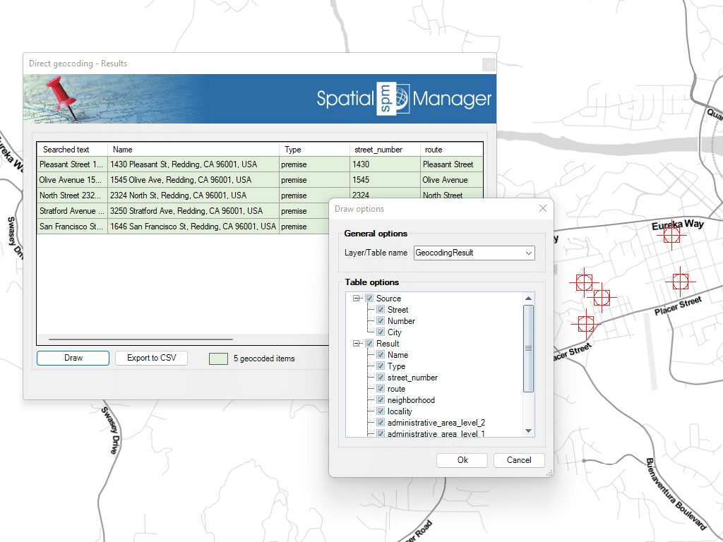
Inserción de puntos en el dibujo a partir de direcciones postales
Cargue textos desde archivos CSV y encuentre sus coordenadas. Los puntos resultantes incluyen los datos vinculados
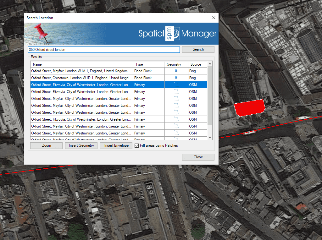
Spatial Manager™ for AutoCAD incluye funciones para geo-localizar en su dibujo direcciones postales, calles, vecindarios u otros objetos geográficos

Reverse geocoding is the process of converting geographic coordinates (latitude and longitude) into a human-readable address or place name. This is typically done using a reverse geocoding service or API,... more

Direct geocoding is the process of converting an address or a place name into geographic coordinates (latitude and longitude). This is typically done using a geocoding service or API which... more

We are all increasingly familiar to locate places on a map using Google Maps or similar services, but what about being able to do it directly on our drawings or... more

Within this interesting example we show how to include, on an existing AutoCAD or BricsCAD drawing of a city, locations from a list of addresses as points (Blocks) on the drawing, using... more