The first commercial version (and the free trial version) of ‘Spatial Manager™ for ZWCAD’ is already available for download. This ZWCAD application is born as an innovative tool for ZWCAD users who need to manage geospatial data in a simple, fast and inexpensive way, and includes many possibilities not seen so far in ZWCAD
Spatial Manager for ZWCAD
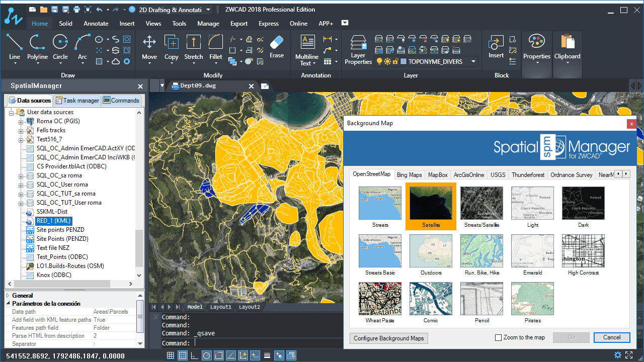
Import, export, manage data and tables, background maps, selection queries, etc., are the main features in ‘Spatial Manager for ZWCAD’, as you will see in the following videos:
Importing 1 (SHP, GPX, KML, …)
Interested in ‘Spatial Manager for ZWCAD’? More information:
Download (commercial and free trial)
Technical Wiki:
FAQs (Wiki-style User Guide)
Technical Pages (Usual importing processes):
Import coordinates from Excel to ZWCAD


