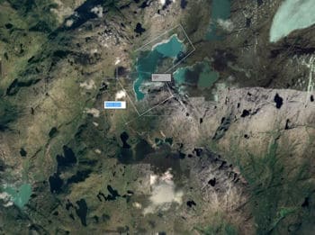
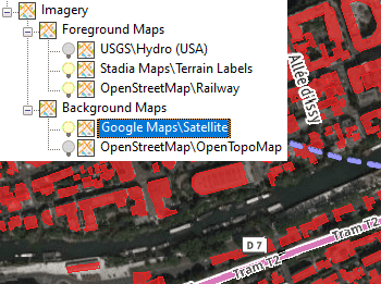
Spatial Manager™ for GstarCAD allows to the GstarCAD users choose from among a lot of dynamic Backgrounds Maps from many providers such as Google Maps, OpenStreetMap, Bing, MapBox, Ordnance Survey, etc., customized maps from TMS, WMS or WMTS servers or connections to Cloud Optimized GeoTIFF (COG) type origins. These maps will enhance the drawings quality and will let the users compare and check better
The map images are automatically updated when the drawing view changes (zoom, pan, etc.) and the images resolution is automatically adapted to the view size. The user can take static geo-referenced Snapshots of the Maps, as well as export/import customized map definitions to be shared with other users
Easy Map control
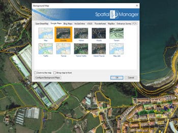
Use the tabs in the Background Maps window to display a specific Map Provider Group, where the selection boxes show a preview image of the available Maps in this Group. Quickly show and hide any Map. Regenerate tools
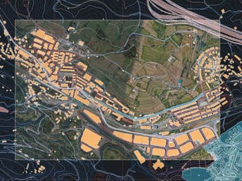
Base Maps to design
It is also possible to set Background Maps in empty drawings in order to have a cartographic base when starting a new piece of work or project even without defining a specific Coordinate Reference System
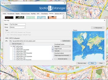
User Maps
Configure new Groups and new Maps by entering a minimum of data. There are also tools to edit the Maps configuration data or delete them from the list
Snapshots
Get static GstarCAD raster images from the Maps. Up to four levels of image resolution. Provides interesting solutions to define different maps for different Viewports and/or Views, as an advanced Printing or Publishing tool, to combine Maps or to clip the Maps
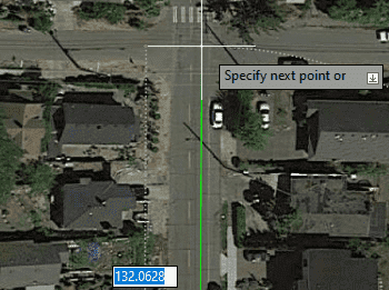
Background map update while drawing
The background map is automatically updated when changing view even when there are active drawing commands (line, polyline, ...), which will make digitizing tasks on the map much easier
The Street View palette in ‘Spatial Manager’ (CAD versions) allows you to visualize dynamic Google Street View images directly in your CAD application by selecting a point on any geo-referenced... more
In this post we will review the tools provided by ‘Spatial Manager’ for accessing geographic dataset services, both imagery and vector. This example will use some of the datasets provided... more
‘Airbus OneAtlas’ service provide access to high-resolution satellite imagery, innovative geospatial analytics and industry-specific insights. This post explains how to configure ‘Spatial Manager’ Background Maps in order to dynamically access... more
‘Spatial Manager’ (CAD versions) allows you to capture Background Maps areas as static images in various image formats, but also as OLE images embedded in the drawing, which simplifies the... more