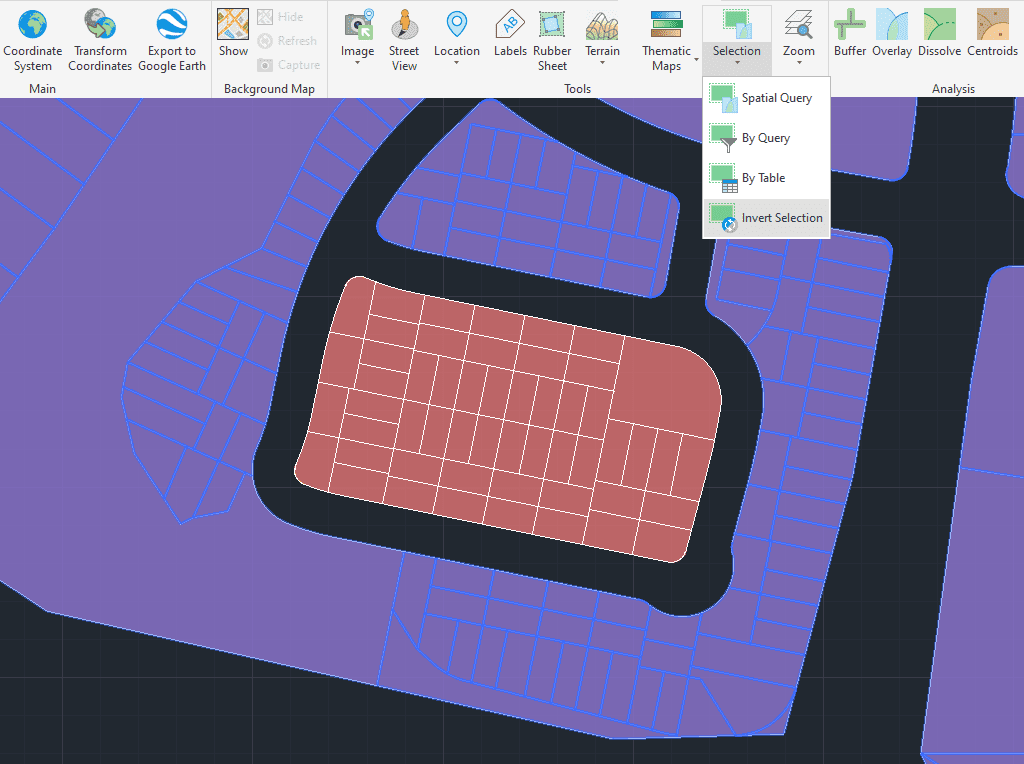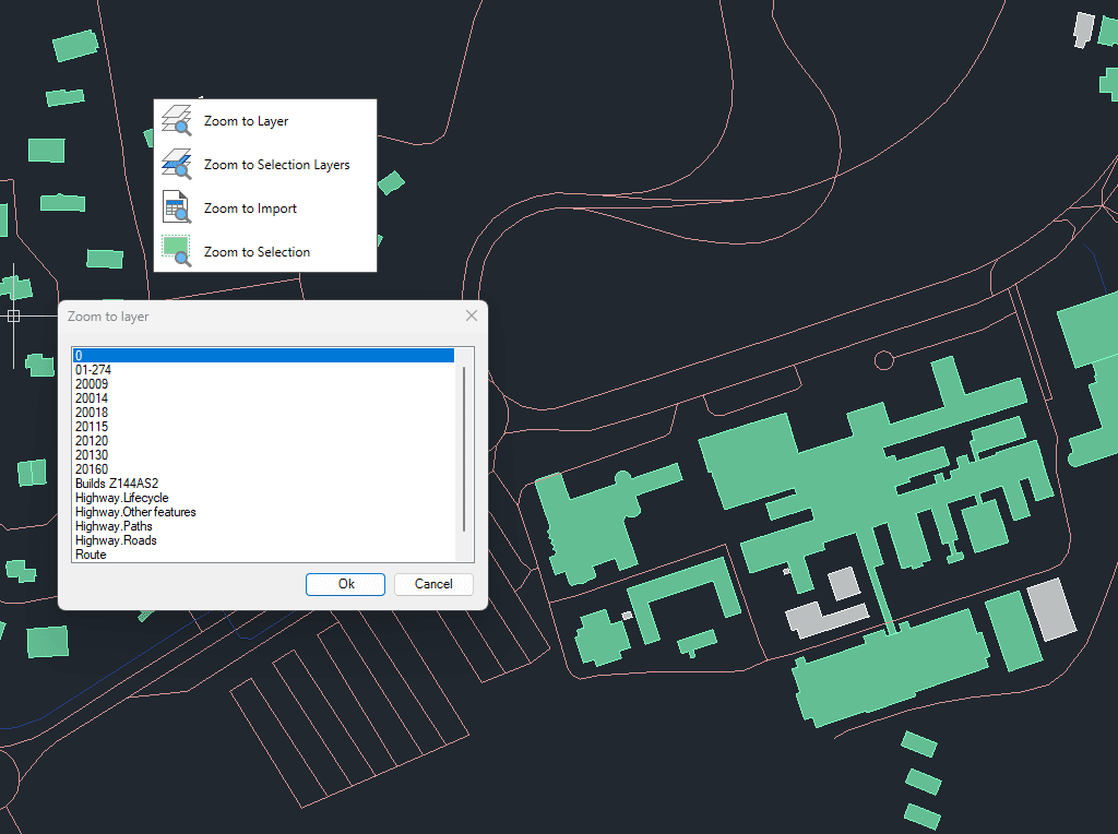
Enables quick zooming to improve navigation and focus within your drawings.
You can zoom to objects on selected layers, to objects on the layers of currently selected objects, to the results of the last import operation, or directly to selected objects.
This functionality helps streamline workflows by quickly centering the view on relevant spatial data.
Transforms complex curve geometries–including arcs, splines, circles, and polylines with arcs–into polyline objects. This conversion simplifies editing tasks and improves interoperability with both CAD and GIS workflows. It is particularly... more
Generates polygons (closed polylines) by sequentially joining the individual points that define their perimeter. Useful for rebuilding area objects from boundary point sets (parcels, enclosures, plots, etc.). Points may be... more
Reduces the number of vertices in polylines or polygons to simplify their geometry, optimizing complexity while preserving the overall shape. This function improves performance and visualization of spatial data by... more
Generates an envelope or bounding box for the selected geometries, representing the smallest rectangle that completely contains each object. This operation is commonly used to generalize shapes, define spatial extents,... more