Predefined map services
Enhanced in V10Access diverse, high-quality background maps from multiple providers
Discover the full potential of this set of tools designed to enhance GIS data integration and editing within .
Google Maps
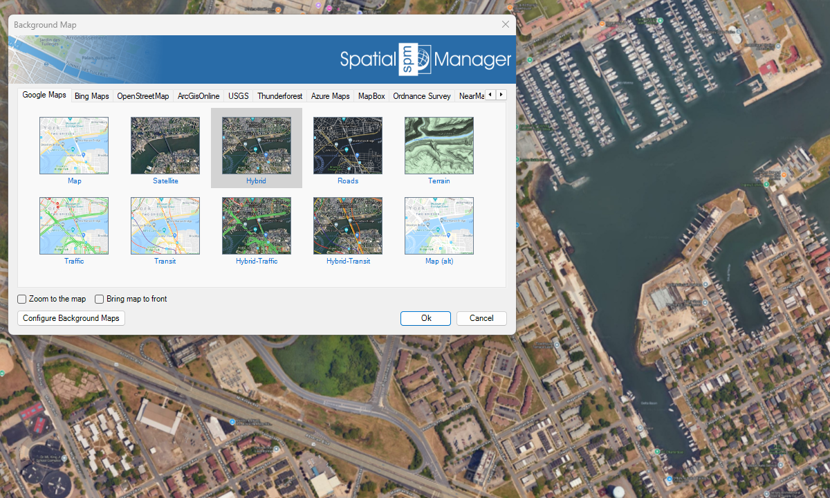
Bing Maps

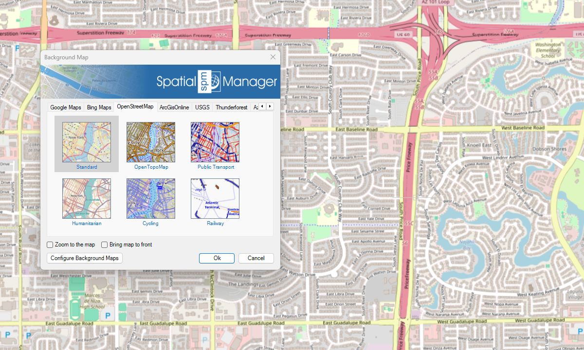
OpenStreetMap
ArcGIS

USGS

Azure Maps
New in V10
Others

Notes

Quickly change the maps background by choosing between solid colors or geo-referenced high quality imagery as base maps
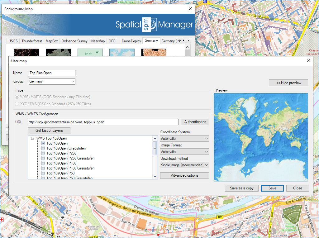
Configure new Groups and new Maps by entering a minimum of data. There are also tools to edit the Maps configuration data or delete them from the list

Mapflow is a cutting-edge geospatial intelligence platform leveraging artificial intelligence to automatically identify and classify geographic objects–such as buildings, roads, and forested areas–within satellite and aerial imagery. Mapflow enables high-precision... more

The Farm Service Agency of the U.S. Department of Agriculture (USDA) provides web services for accessing the National Agriculture Imagery Program (NAIP). Spatial Manager products provide an easy way to... more

In this post we will review the tools provided by ‘Spatial Manager’ for accessing geographic dataset services, both imagery and vector. This example will use some of the datasets provided... more

‘Airbus OneAtlas’ service provide access to high-resolution satellite imagery, innovative geospatial analytics and industry-specific insights. This post explains how to configure ‘Spatial Manager’ Background Maps in order to dynamically access... more