Opções de geometria em BricsCAD
Importe como pontos ou blocos, preencha polígonos ou crie centróides
Descubra todo o potencial deste conjunto de ferramentas criado para aprimorar a integração e a edição de dados GIS dentro do BricsCAD.
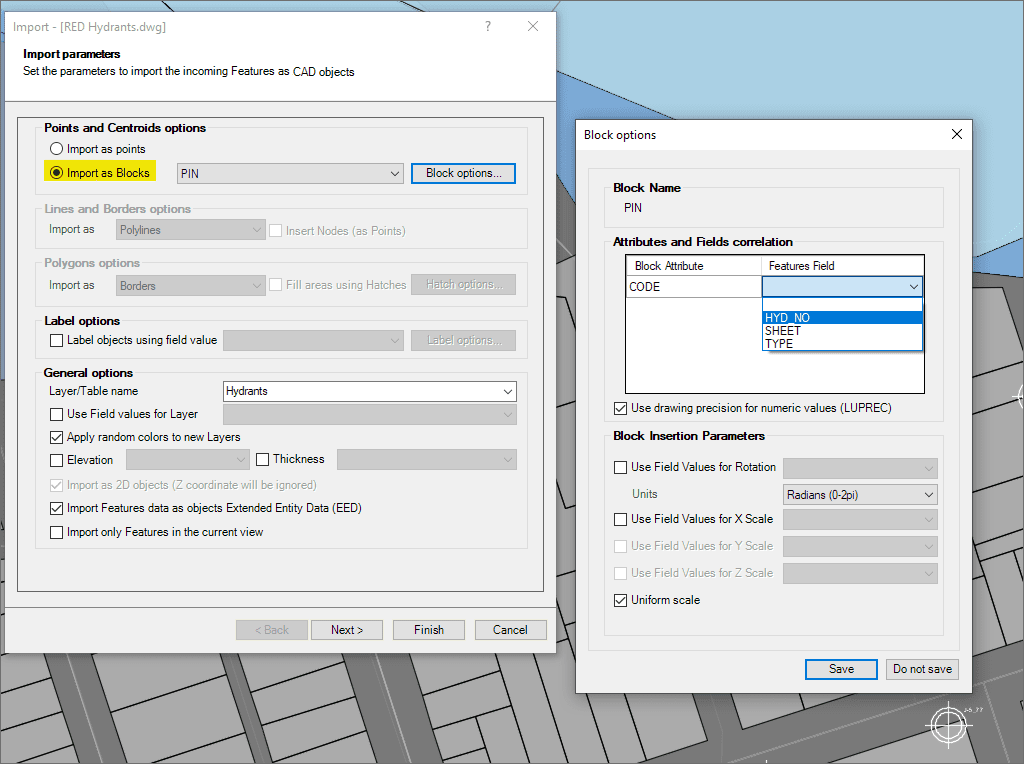
Utilize blocos baseados em campos para pontos e centróides
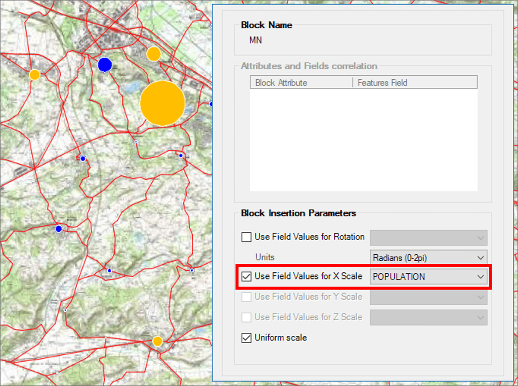
Parâmetros de inserção de Blocos em função dos valores de campos
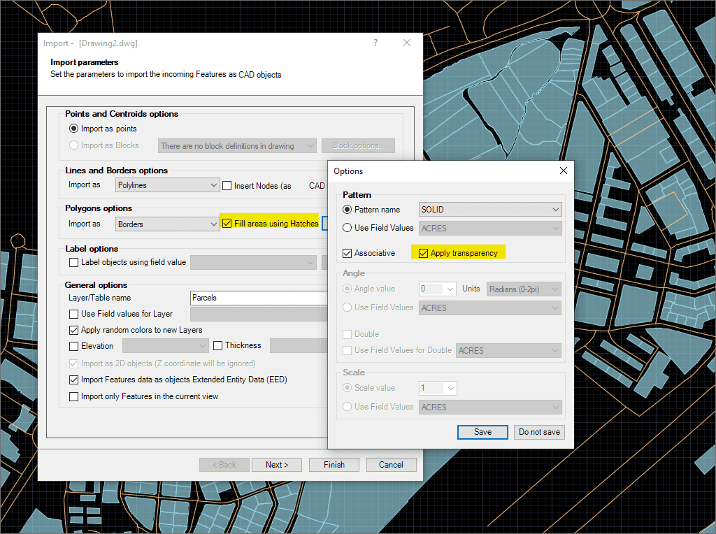
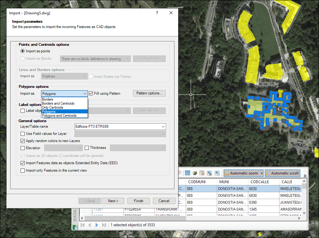
Enchimentos de polígonos e transparências
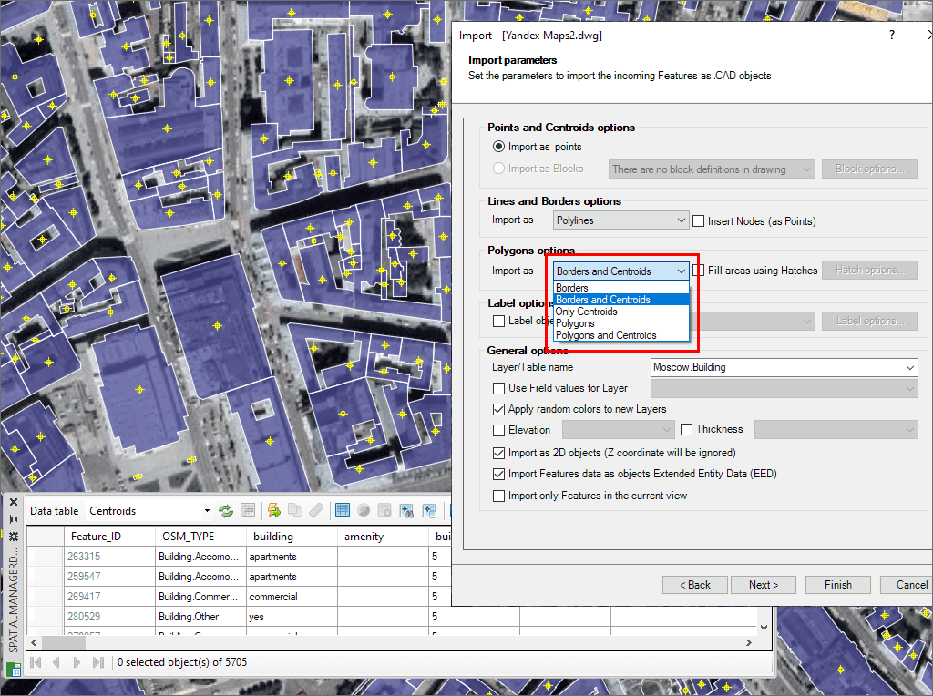
Criação de centroides de polígonos durante a importação
Polígonos múltiplos
Import Google Earth objects into BricsCAD
How to import shapefiles into BricsCAD
Import coordinates from Excel to BricsCAD
Import CSV into BricsCAD
Import KML to BricsCAD
Import points into BricsCAD
Ordnance Survey in BricsCAD
Import OpenStreetMap data into BricsCAD
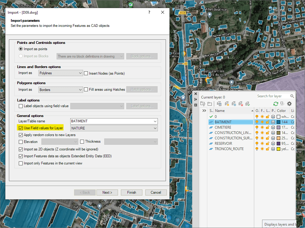
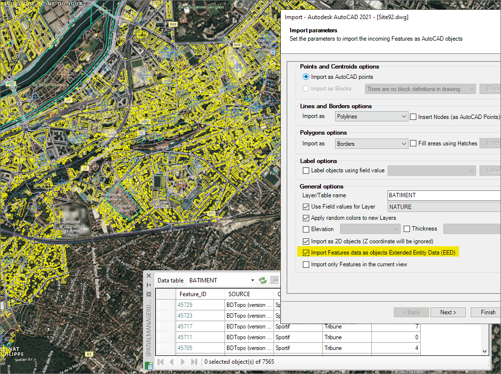
Importe dados como XDATA para desenhos BricsCAD mais inteligentes
* Só estão disponível na edições Standard e Professional
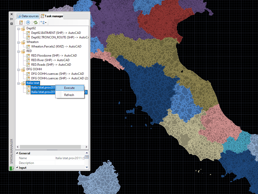
Salve Tarefas em BricsCAD para reproduzir processos de importação (incluindo todos os parâmetros de processo) quantas vezes quiser
* Só estão disponível na ediçõe Professional
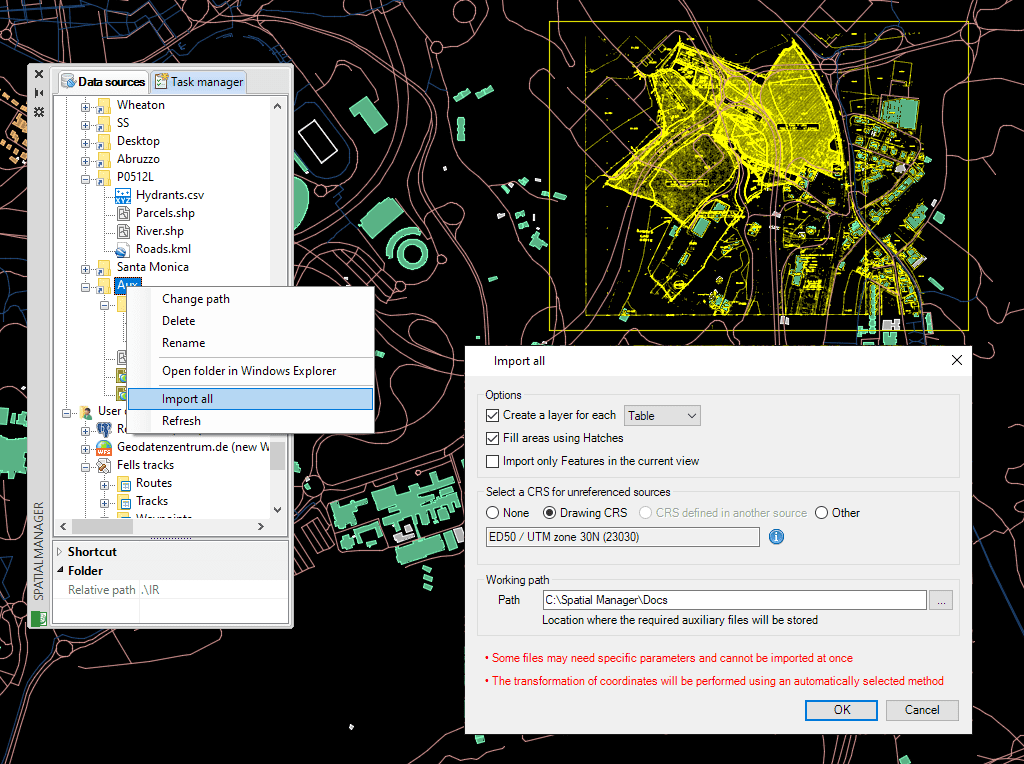
Importe dados com facilidade usando assistentes, paletas ou ferramentas em lote
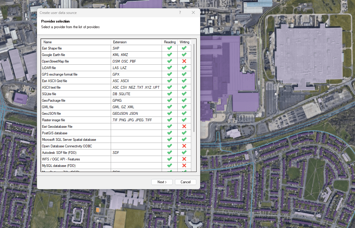
Conecte-se a uma ampla variedade de fontes de dados espaciais

Access and import authoritative LINZ (Land Information New Zealand) vector datasets directly into your DWG through the LINZ WFS (Web Feature Service). Spatial Manager connects to the WFS endpoint and... more

Download and import official Land Information New Zealand (LINZ) data into a DWG using Spatial Manager, either through open services (WFS / OGC API Features) or distributed files (SHP, GeoJSON,... more

View detailed, high-resolution LINZ background maps directly in your DWG through WMTS services–no prior tile download required. Spatial Manager connects to the LINZ WMTS endpoint, requests only the tiles needed... more

OGC API Features is a modern, RESTful standard developed by the Open Geospatial Consortium (OGC) for accessing and managing geospatial feature data over the web. It is the evolution of... more