Dissoudre dans GstarCAD
Génère de nouveaux polygones basés sur le regroupement d'autres polygones adjacents avec certaines données communes
Dissoudre
Ce processus simplifie votre jeu de données spatiales en regroupant les entités selon des critères spécifiés, réduisant la complexité tout en conservant les informations essentielles.
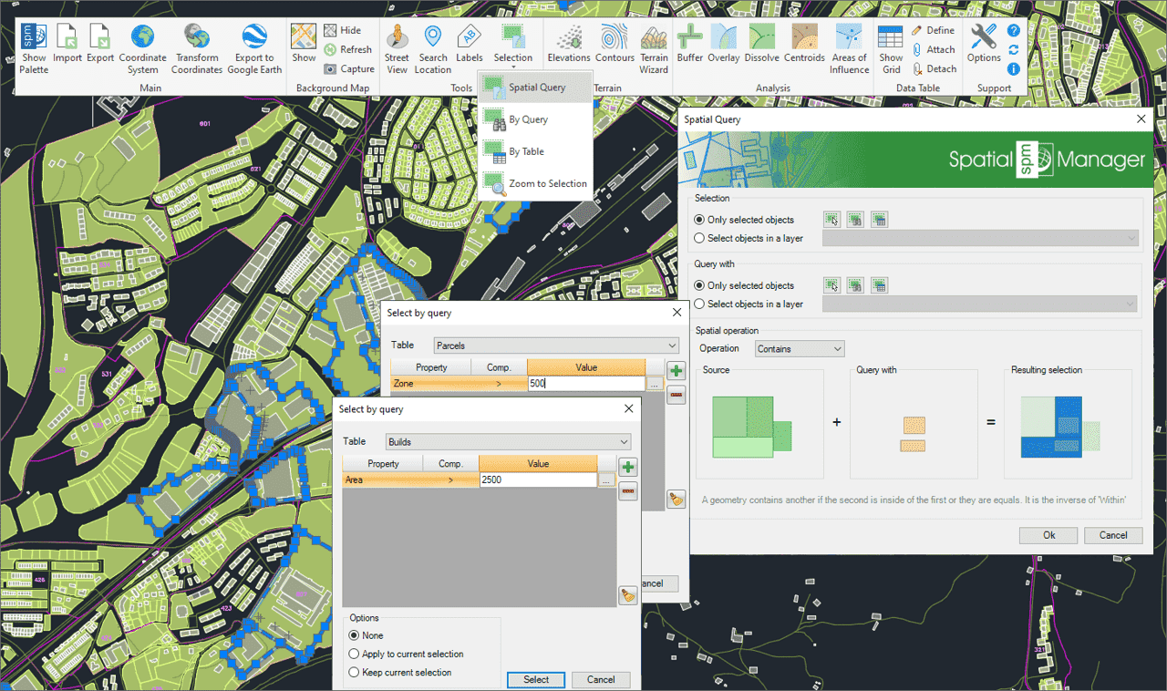
Sélection d'objets dans le dessin en fonction du résultat de requêtes spatiales avancées simples ou composées utilisant les opérations géométriques suivantes.
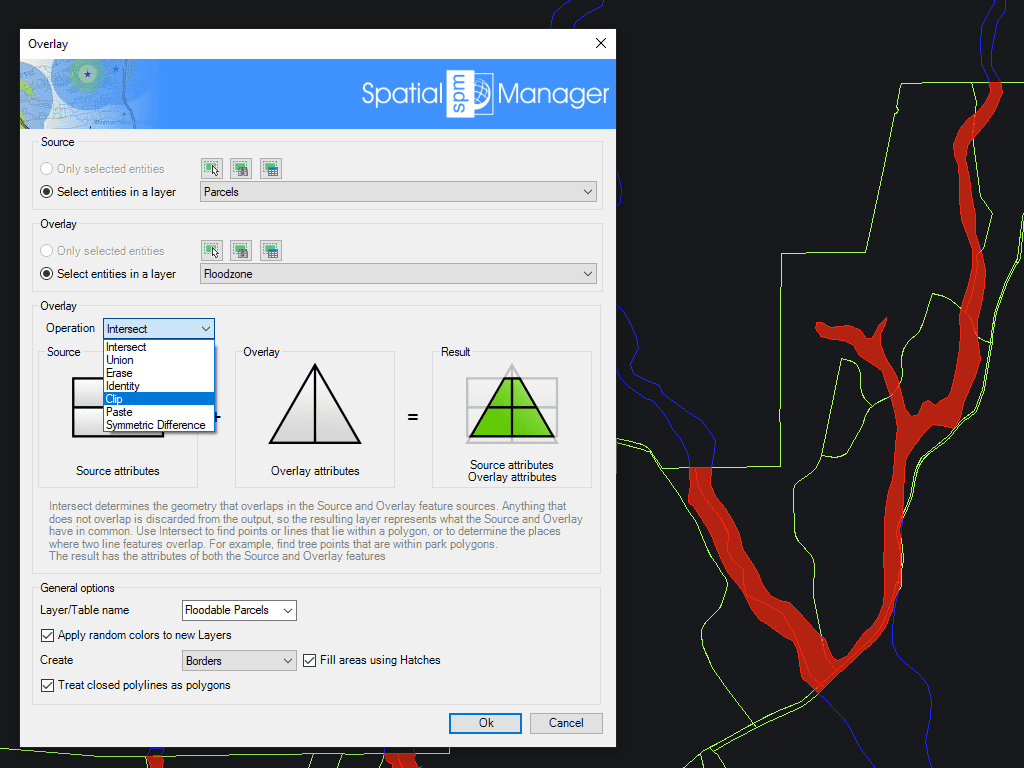
Permet de créer de nouveaux objets basés sur des opérations géométriques et de données entre deux groupes d'objets existants. Ces opérations sont: Intersection, Union, Effacer, Identité, Délimiter, Coller et Différence de symétrie.
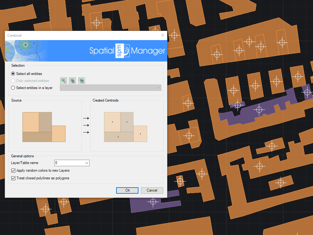
Permet de générer des Centroïdes de polygones (objets Point) en adoptant les données des polygones, ou d'ajouter des données de Centroïdes aux polygones qui les contiennent
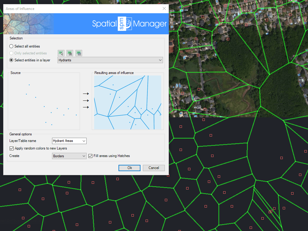
Crée des polygones définis par les ensembles de points les plus proches de chaque point d'une sélection sur le dessin (diagrammes de Voronoi)

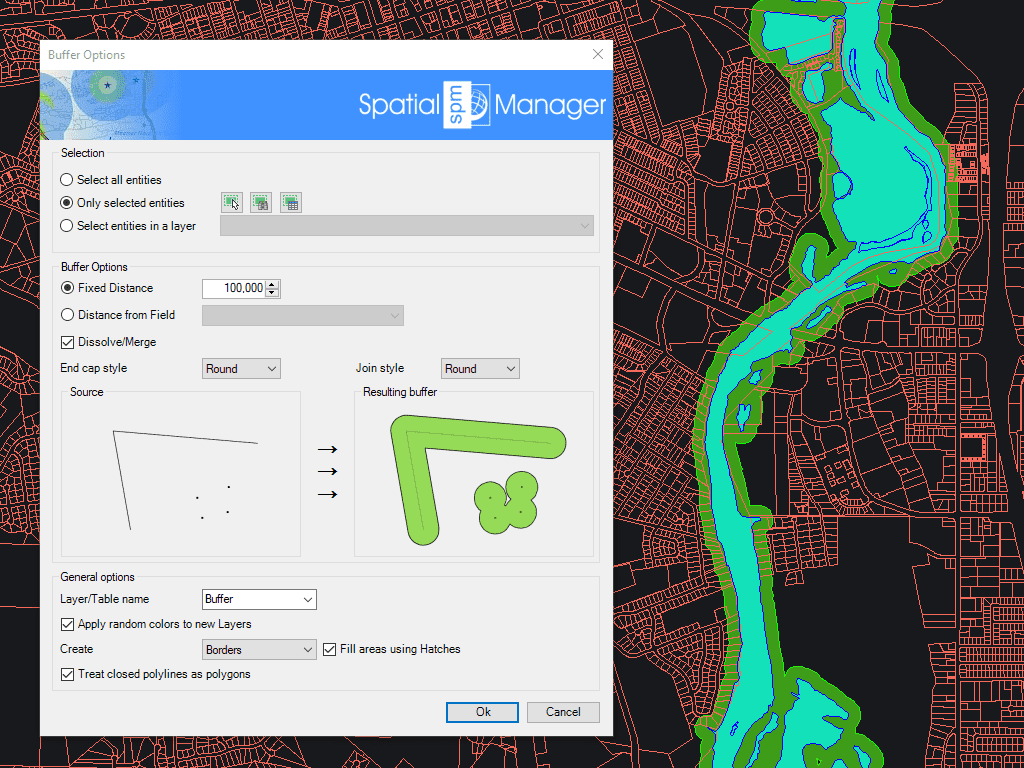
Spatial Manager creates buffer polygons around points to show the area within a chosen distance of each location. This is useful for showing a facility’s service area or finding objects... more

Mapflow is a cutting-edge geospatial intelligence platform leveraging artificial intelligence to automatically identify and classify geographic objects–such as buildings, roads, and forested areas–within satellite and aerial imagery. Mapflow enables high-precision... more

In this third example on spatial analysis using Overlays in ‘Spatial Manager’ we will apply the “Intersect” operator. This operator determines the geometries that overlap in the Source and Overlay... more

In this second post dealing with Overlays in ‘Spatial Manager’, we will analyze another interesting operator (Clip), which creates objects from the areas of the Source that overlap with the... more