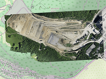
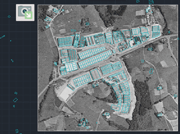
Importation d'images raster géoréférencées dans le dessin. Prend en charge une variété de formats tels que TIF, PNG, JPG, JPEG, TIFF, Cloud Optimized GeoTIFF, ... (Liste des Fournisseurs de Données).
Exportation d'images raster géoréférencées à partir du dessin. Prise en charge d'une grande variété de formats géoréférencés tels que TIF, PNG, JPG, ...(Liste des Fournisseurs de Données).
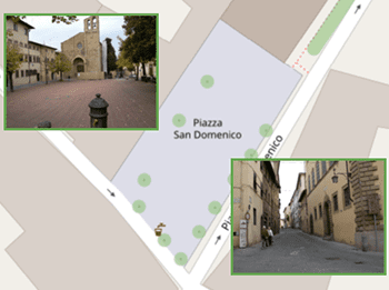
Importation de photographies avec localisation GPS (contenue dans les données EXIF), capturées au moment où elles ont été prises et placées à leur emplacement correct dans le dessin automatiquement lors de l'importation
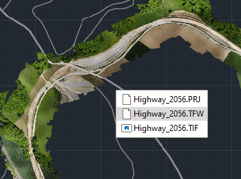
Exporter vers un fichier externe les informations de géoréférence complètes de toute image matricielle contenue dans votre dessin


