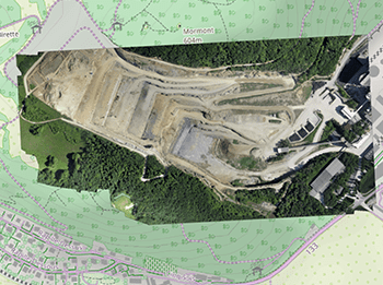
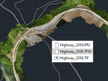
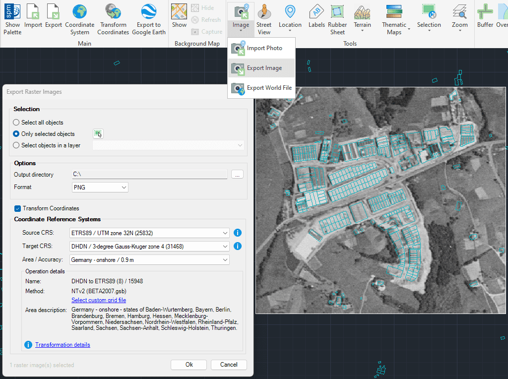
Exportation d’images raster géoréférencées depuis votre dessin dans divers formats pris en charge, notamment TIF, PNG, JPG, et autres.
Le processus d’exportation peut inclure des transformations du système de coordonnées pour garantir que les images soient positionnées avec précision pour une utilisation dans d’autres applications SIG ou CAD.
This article explains how to start a drafting or design project using a Google Earth imagery base. It provides step-by-step instructions on how to overlay drawings, plans, or architectural projects... more
Download historical imagery directly from Google Earth to your DWG using your preferred CAD platform for enhanced accuracy and analysis. Get aerial photographs from different dates and compare the evolution... more
Learn quickly and easily how to integrate Google Earth high quality images with your DWG using your preferred CAD platform. A wide range of resolutions are available up to 8K... more
Today, it is very common to get photographs with embedded GPS location. You can take these kind of pictures easily with your own mobile or camera. Latitude and longitude is... more