Cartes utilisateur personnalisées dans GstarCAD
Configurez de nouvelles cartes personnalisées en saisissant un minimum de données et partagez la configuration avec d'autres utilisateurs
Découvrez tout le potentiel de cet ensemble d’outils conçu pour améliorer l’intégration et l’édition des données SIG dans GstarCAD.
Cartes d'utilisateur
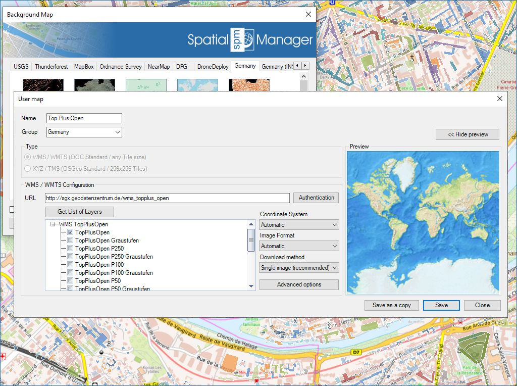
Se connecter aux services de cartes personnalisés
- Cartes WMS/OGC API : Service de carte web
- Tuiles WMTS/OGC API : Service de tuiles cartographiques web
- XYZ/TMS : Service standard de tuiles cartographiques
- COG Tiff : Geo Tiff optimisé pour le cloud

Partager entre ordinateurs

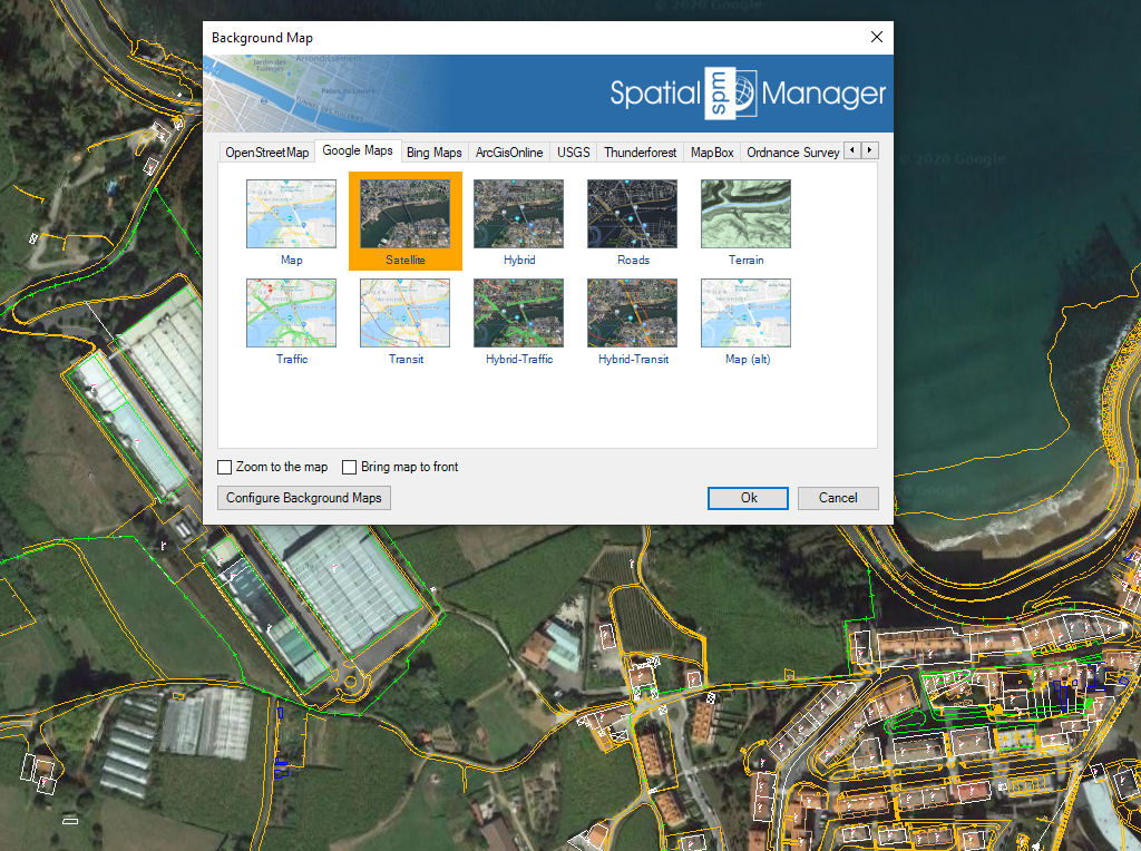
Contrôlez et utilisez facilement les cartes d’arrière-plan pendant le travail ou la conception
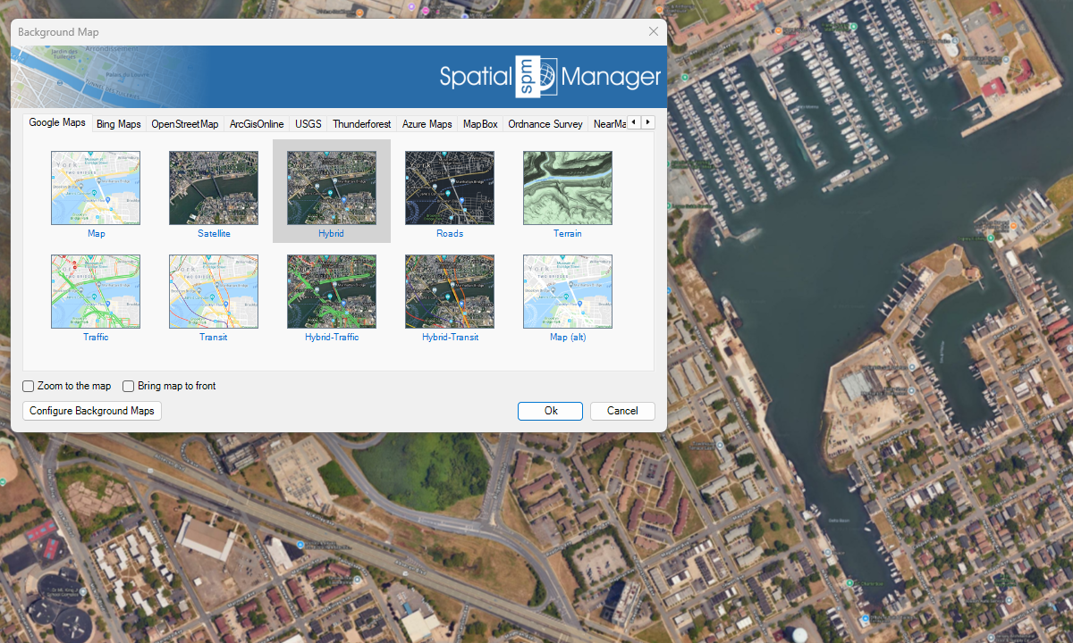
Services de cartes prédéfinis
Amélioration en V10Accédez à diverses cartes d’arrière-plan de haute qualité issues de plusieurs fournisseurs
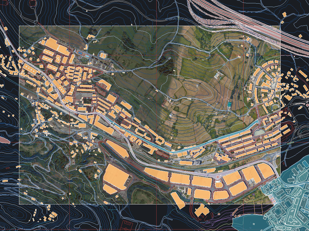
Capturez des images statiques de la carte de fond et insérez-les dans le dessin en tant qu’images raster (PNG, JPG, TIF) ou objets OLE. Les captures peuvent être géoréférencées à l’aide d’un fichier World File, et vous pouvez choisir le niveau de détail de l’image. Idéal pour les présentations, l’impression ou une utilisation SIG externe.
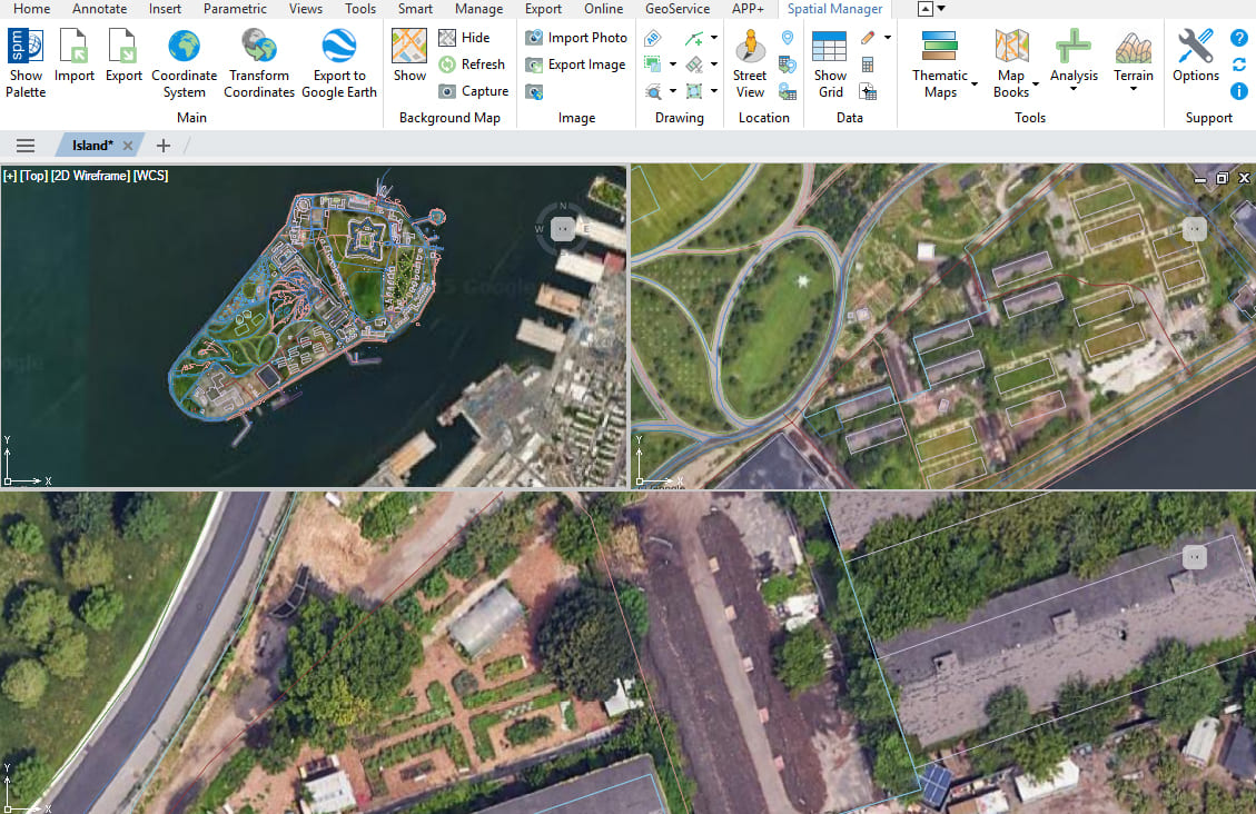
Plusieurs cartes et vues
Amélioration en V10Affichez et gérez plusieurs cartes d’arrière-plan dans différentes vues et fenêtres
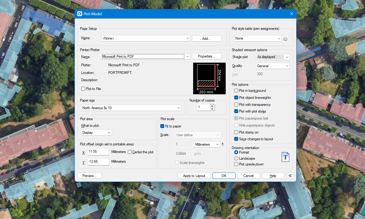
Cartes de fond imprimables
Amélioration en V10Inclure et publier les cartes d’arrière-plan dans les dessins imprimés

Background maps can be displayed simultaneously in multiple views, including both model space and layout viewports. Whenever changes occur, the background maps are automatically refreshed so that they remain accurate... more

With Spatial Manager, you can load multiple maps from different sources and compose an advanced view. Arrange their display priority and control their visibility independently, making it easier than ever... more

Mapflow is a cutting-edge geospatial intelligence platform leveraging artificial intelligence to automatically identify and classify geographic objects–such as buildings, roads, and forested areas–within satellite and aerial imagery. Mapflow enables high-precision... more

The Farm Service Agency of the U.S. Department of Agriculture (USDA) provides web services for accessing the National Agriculture Imagery Program (NAIP). Spatial Manager products provide an easy way to... more