Personnalisation du CRS dans BricsCAD
Chargez des fichiers de grille personnalisés et définissez des systèmes de coordonnées personnalisés
Découvrez tout le potentiel de cet ensemble d’outils conçu pour améliorer l’intégration et l’édition des données SIG dans BricsCAD.
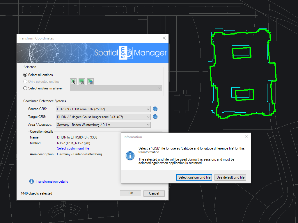
Fichiers de grille personnalisés
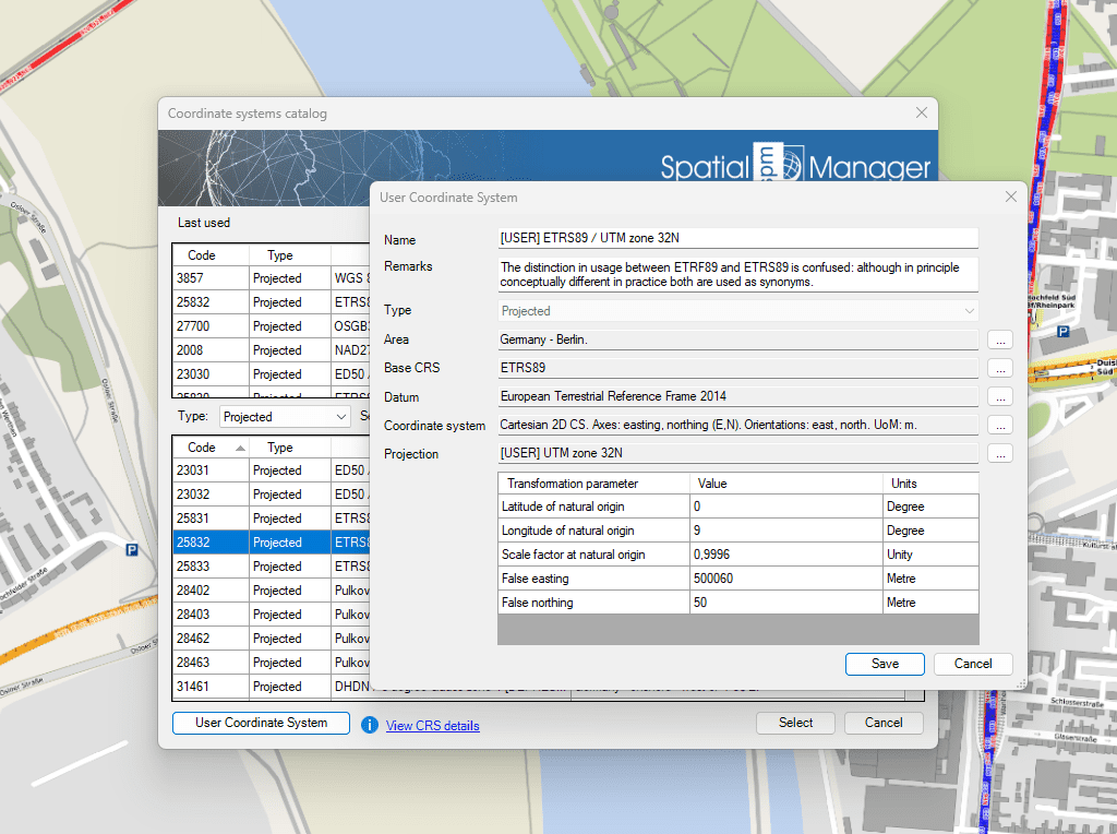
Systèmes de coordonnées personnalisés
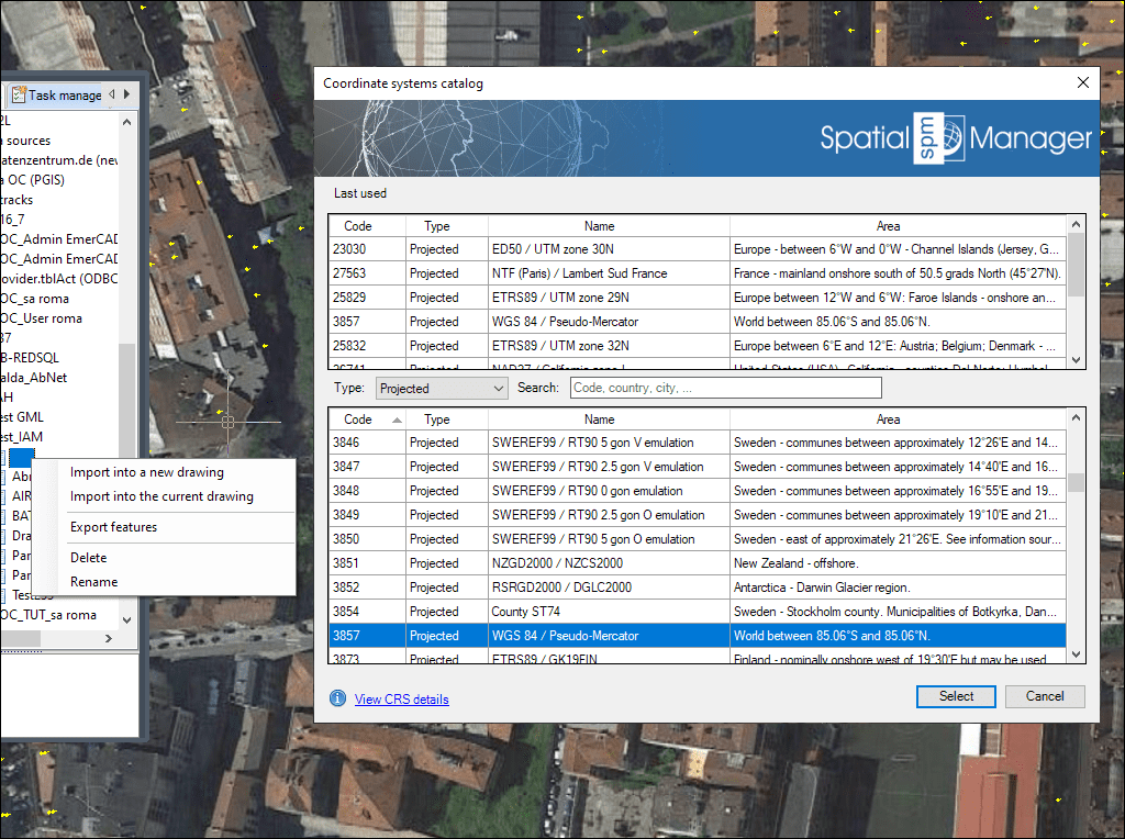
Catalogue unifié de SCR pour l’assignation et la transformation des coordonnées
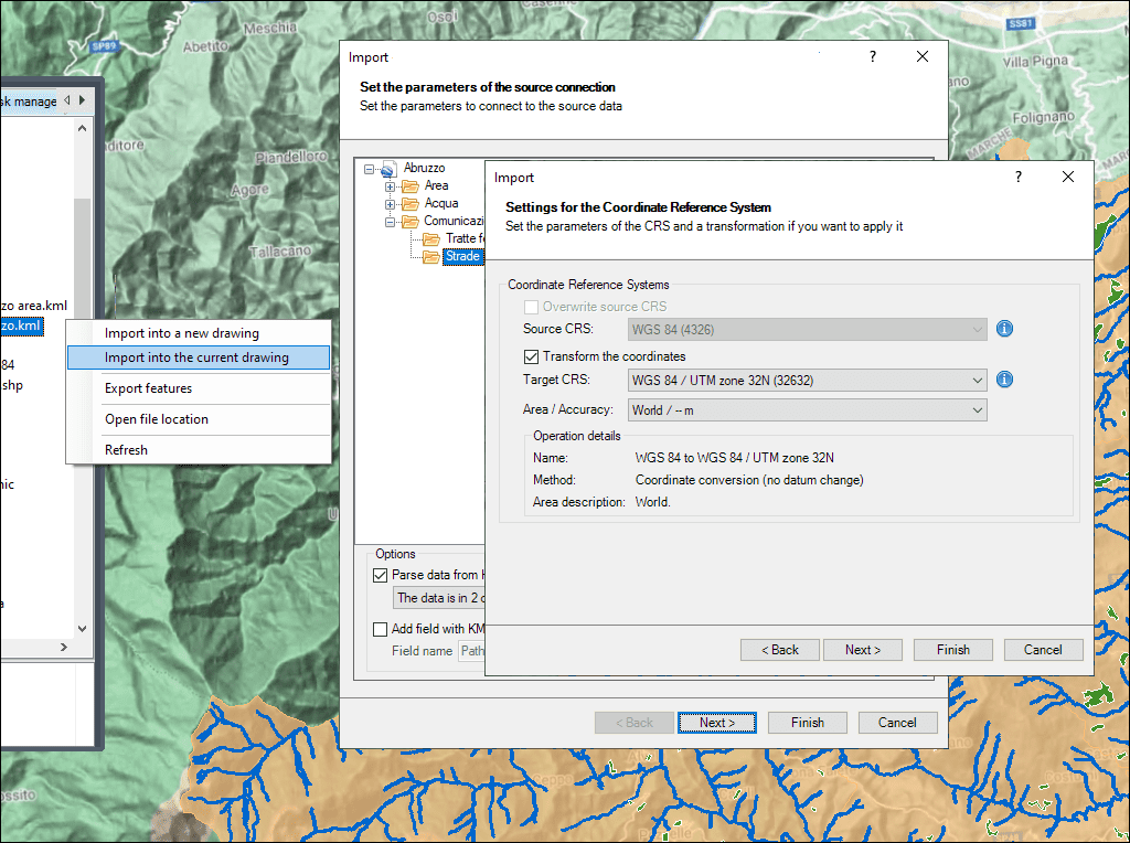
Transformation automatique des coordonnées avec variantes au choix
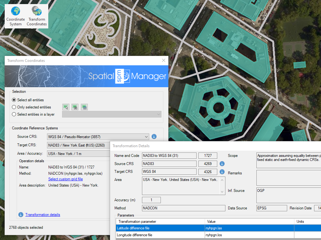
Transformez le Système de Coordonnées (CRS) d'un dessin ou d'un ensemble d'objets sélectionnés, et un nouveau dessin sera automatiquement généré comprenant les objets du dessin original régénérés géométriquement selon la transformation choisie entre deux CRSs
* Sont disponible que dans le édition Professional

Rubber sheeting refers to a method in mapping and surveying where a map or spatial data is adjusted or “stretched” to align with a reference map or coordinate system. This... more

When working with data sets from different sources, there are often differences in alignment between elements. The SPMRUBBERSHEET command allows you to select base points and reference points to modify... more

Many ‘Spatial Manager’ functions (Import, Export, Background Maps, etc.) can automatically perform a process of coordinates Transformation from the source to the target as part of the sequence executed by... more

The functionality of transforming the coordinate system (CRS) of a drawing in ONE STEP is one of the tools most requested by the application users. This operation, which in some... more