Opciones de exportación en BricsCAD
Exporta objetos seleccionados como polígonos, entidades o el dibujo completo a destinos geoespaciales
Descubre todo el potencial de este conjunto de herramientas diseñado para mejorar la integración y edición de datos GIS dentro de BricsCAD.
Objetos exportados a archivos o servidores geoespaciales
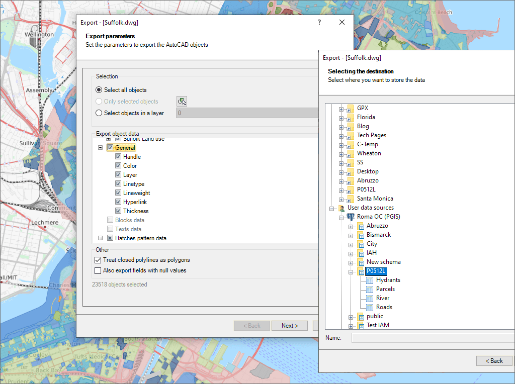
Seleccione los objetos a exportar

Opción para tratar las polilíneas cerradas como polígonos

Exporte Puntos Civiles de BricsCAD

Directamente a Google Earth (KML/KMZ) desde su dibujo
Coordenadas a Excel desde su dibujo
Importar un Shapefile y exportarlo como Google Earth 3D
Datos de OpenStreetMap. Editar y exportar a Google Earth
Importar un Shapefile. Editar y exportar como Shapefile
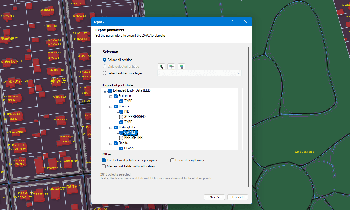
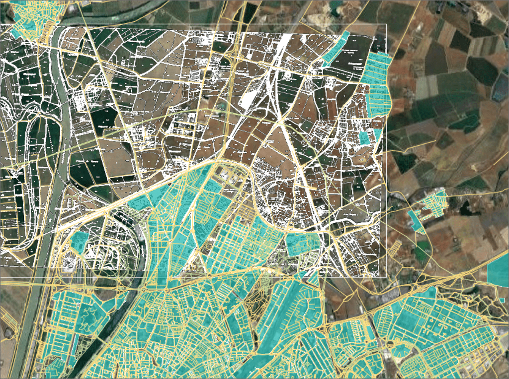
Exporta con precisión y flexibilidad, incluyendo conversión directa de formatos
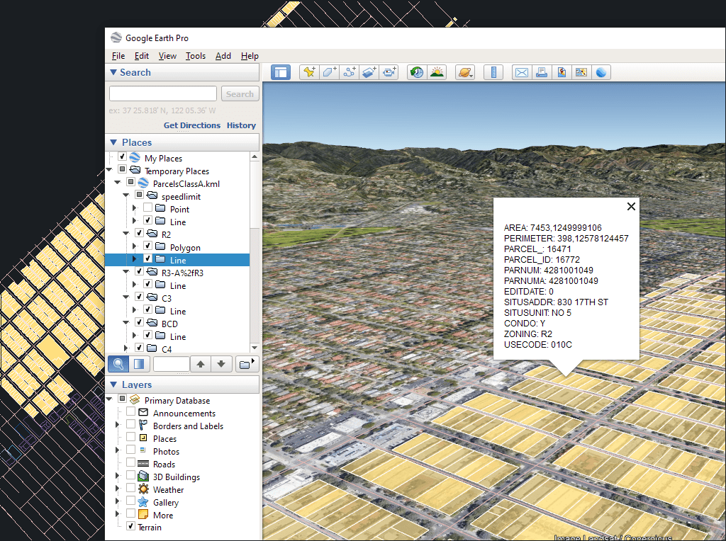
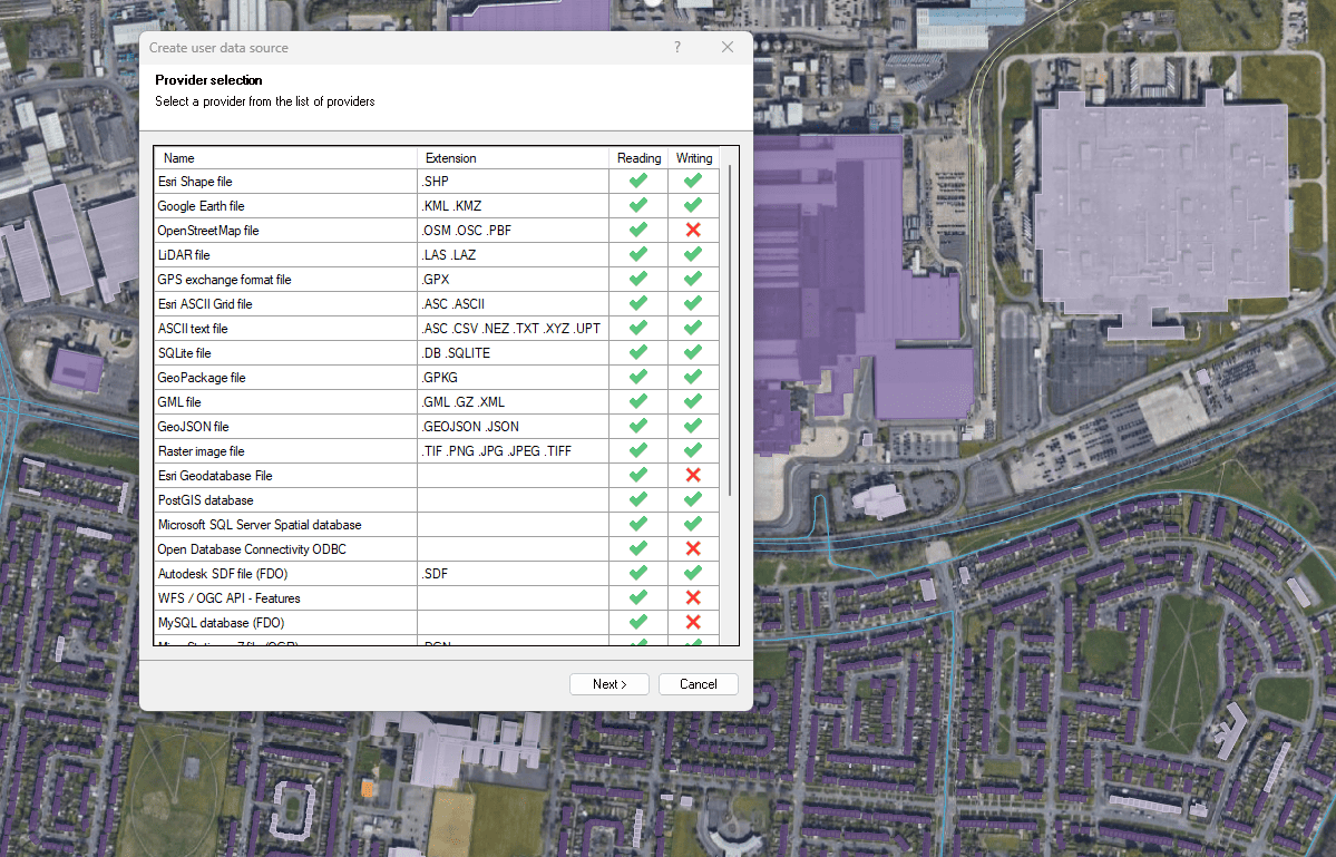
Exportar a archivos espaciales y bases de datos
Mejorada en V10Exporta objetos de BricsCAD a archivos o servidores espaciales

Easily convert your DWG/DXF files to KML/KMZ for Google Earth quickly and accurately. You can export the entire drawing or only a selection of specific objects, preserving the structure, layers,... more

Google Earth internally uses meters for elevation units, which can be an obstacle when feet are required. This tutorial explains an easy workaround for viewing contour elevation values in Google... more

An ESRI Geodatabase File (FileGDB) is a powerful database system designed to store, query, and manage spatial data as a collection of files stored directly on disk without requiring a... more

Height units remain unchanged when coordinate conversions are applied, but sometimes you need to change them, especially when the target format is limited to a specific unit. This happens with... more