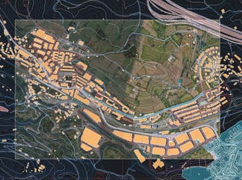
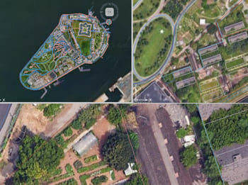
Descubre todo el potencial de este conjunto de herramientas diseñado para mejorar la integración y edición de datos GIS dentro de BricsCAD.
Mapas de usuario
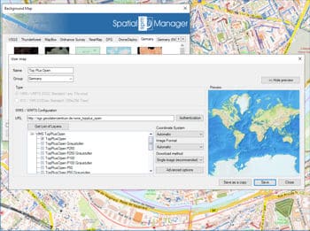
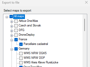
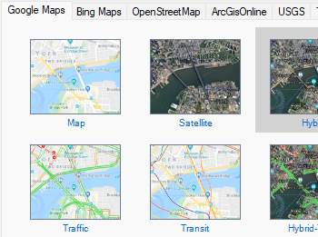
Configure nuevos Grupos y nuevos Mapas introduciendo un mínimo de datos. También existen herramientas para editar los datos de configuración de los Mapas o eliminarlos de la lista así como exportar/importar definiciones de mapas personalizados para compartirlos con otros usuarios.
Conectar a servicios de mapas personalizados
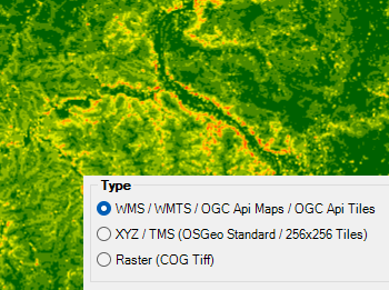
Conéctese a su proveedor local de mapas y acceda a los tipos de fuentes de datos más comunes:
- Mapas WMS/OGC API: Servicio de Mapas Web
- Azulejos WMTS/OGC API: Servicio de Azulejos Web
- XYZ/TMS: Servicio Estándar de Azulejos de Mapas
- COG Tiff: Geo Tiff Optimizado para la Nube
