Soporte incluido durante un año
Todas las licencias incluyen 1 año de actualizaciones y soporte. También está disponible una opción de 3 años con precio reducido
Soporte incluido durante un año
- Descargar las actualizaciones de la aplicación durante este período, las cuales incluirán muchas novedades, mejoras, correcciones y compatibilidad con las próximas versiones.
- Soporte por correo electrónico, atendido directamente por nuestro equipo técnico.
Las licencias son perpetuas y no caducan. Todas las compras son pagos únicos — no hay cargos recurrentes ni suscripciones
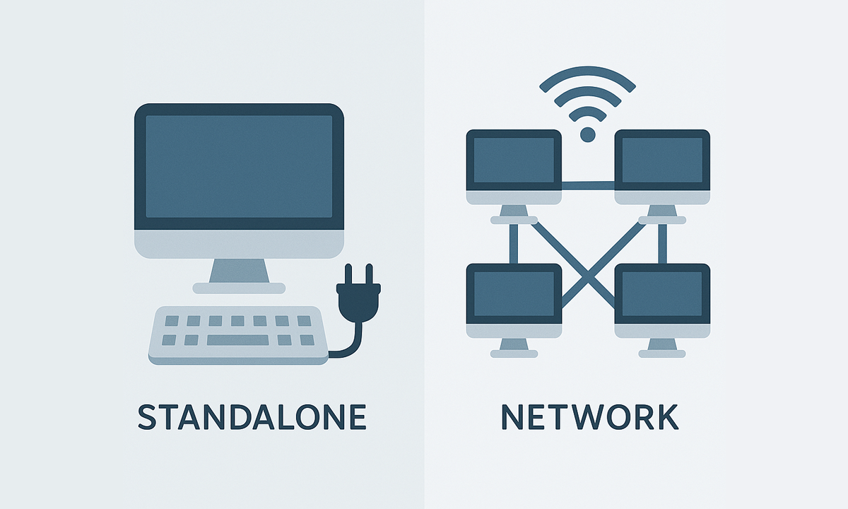
Las licencias individuales pueden usarse simultáneamente en tantos equipos como licencias se hayan adquirido, mientras que las licencias en red permiten la instalación en hasta 3× el número de licencias, pero su uso simultáneo se limita al número de licencias compradas

Spatial Manager creates buffer polygons around points to show the area within a chosen distance of each location. This is useful for showing a facility’s service area or finding objects... more

Access and import authoritative LINZ (Land Information New Zealand) vector datasets directly into your DWG through the LINZ WFS (Web Feature Service). Spatial Manager connects to the WFS endpoint and... more

Download and import official Land Information New Zealand (LINZ) data into a DWG using Spatial Manager, either through open services (WFS / OGC API Features) or distributed files (SHP, GeoJSON,... more

View detailed, high-resolution LINZ background maps directly in your DWG through WMTS services–no prior tile download required. Spatial Manager connects to the LINZ WMTS endpoint, requests only the tiles needed... more