Einflussbereiche in ZWCAD
Erzeugt Polygone, die durch die Punktmengen definiert sind, die jedem Punkt einer Auswahl in der Karte am nächsten liegen (Voronoi-Diagramme)
Einflussbereiche
Diese Polygone, bekannt als Voronoi-Diagramme, definieren die Regionen, die jedem Punkt in der Auswahl am nächsten sind. Jedes resultierende Polygon erbt die Attributdaten seines entsprechenden Punktes.
Diese Funktion ist nützlich für raumbezogene Analysen wie die Identifizierung von Versorgungsgebieten für Apotheken innerhalb einer Gemeinde oder ähnliche proximitätsbasierte Studien.
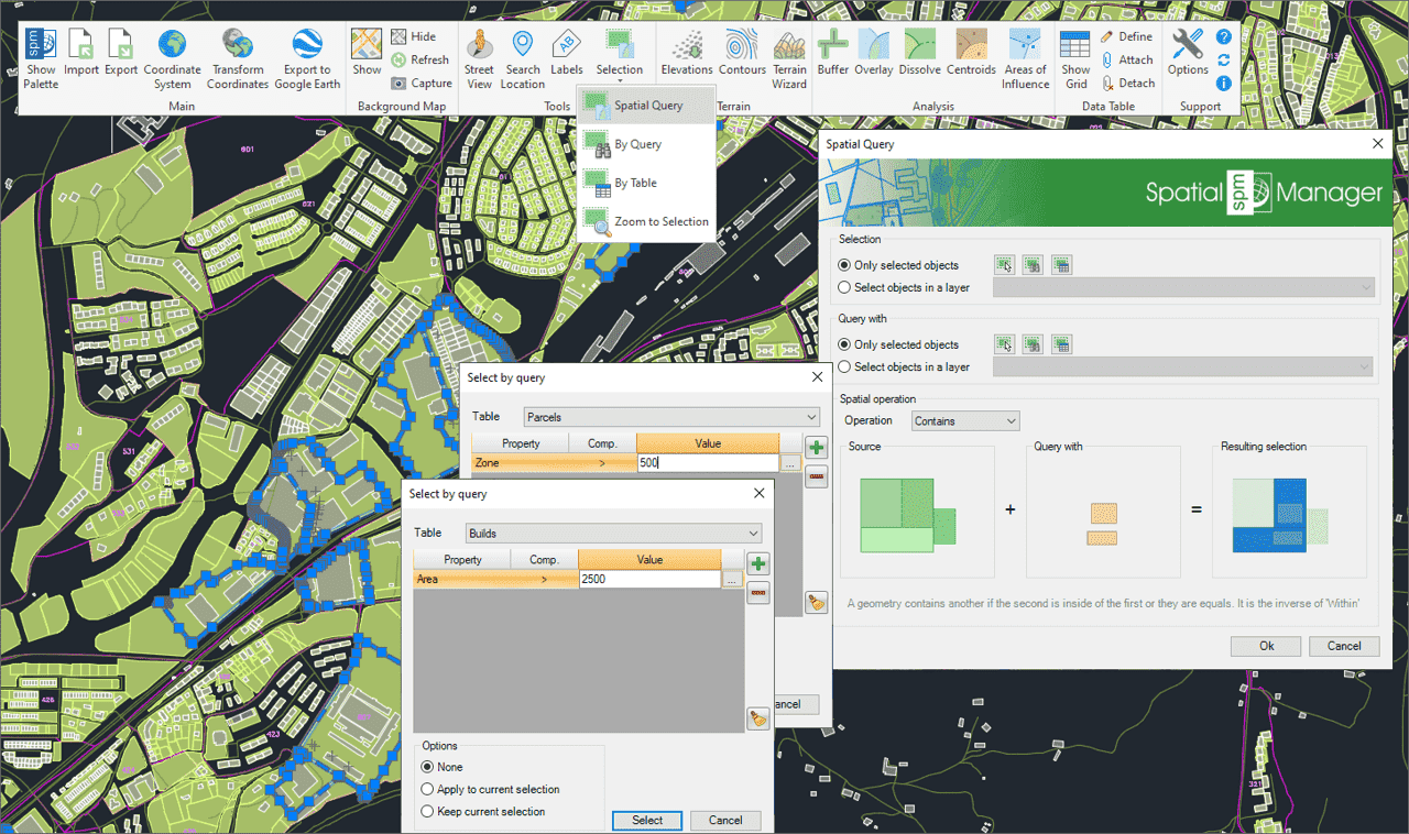
Wählen Sie Objekte in der Zeichnung entsprechend dem Ergebnis von erweiterten einfachen oder zusammengesetzten räumlichen Abfragen durch die folgenden geometrischen Operationen aus.
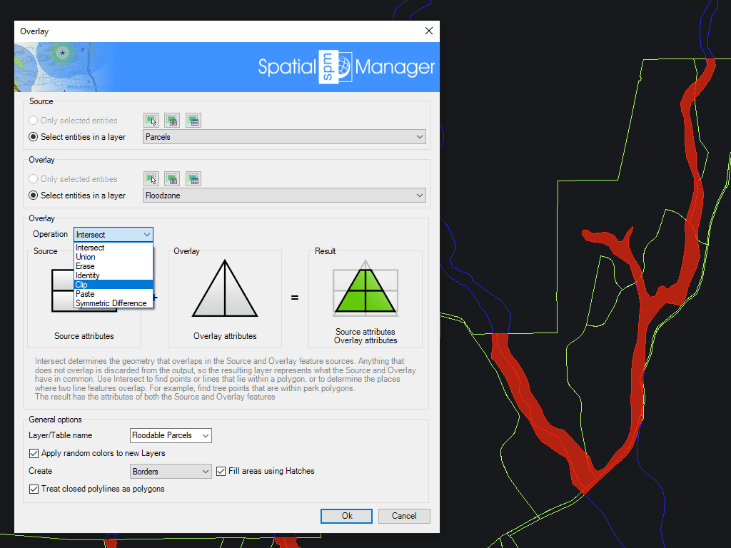
Ermöglicht das Erstellen neuer Features auf Basis von geometrischen und Datenoperationen zwischen zwei bestehenden Feature-Gruppen. Diese Operationen sind: Überschneidung, Vereinigung, Löschen, Identität, Schnitt, Einfügen und Symmetrische Unterschied.
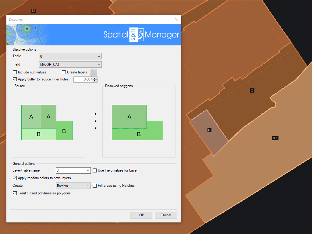
Erzeugen neuer Polygone basierend auf der Gruppierung anderer benachbarter Polygone mit einigen gemeinsamen Daten
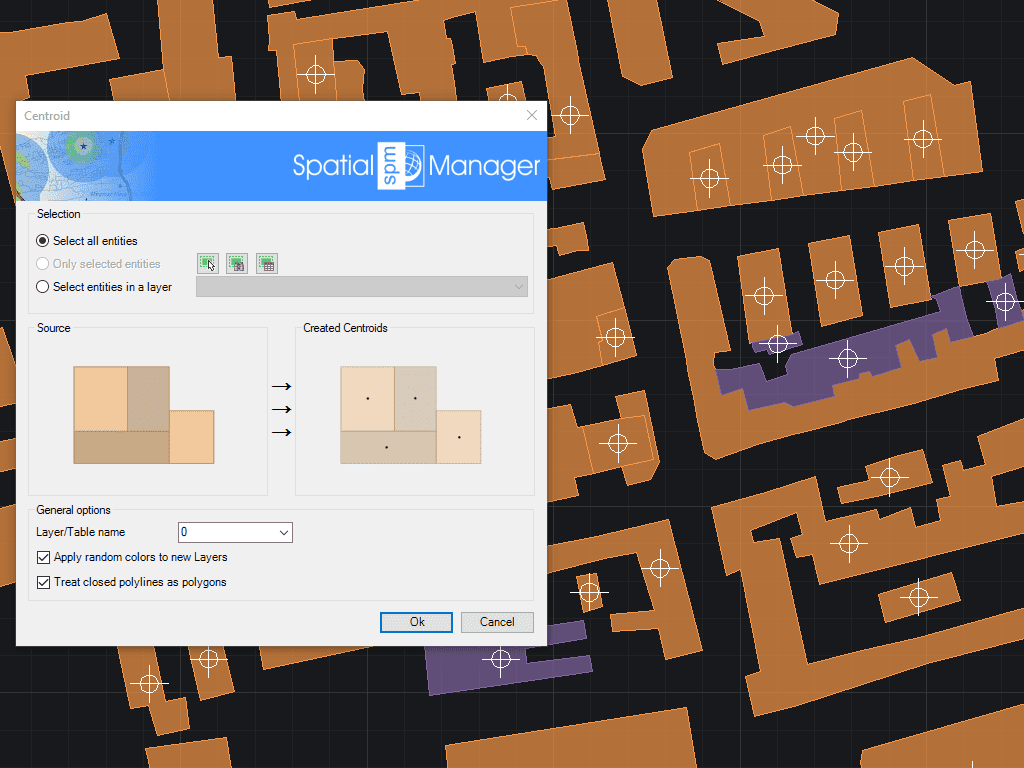
Ermöglicht die Erzeugung von Polygonschwerpunkten (Punktobjekten) durch Übernahme der Polygondaten oder das Hinzufügen von Schwerpunktdaten zu den Polygonen, die sie enthalten

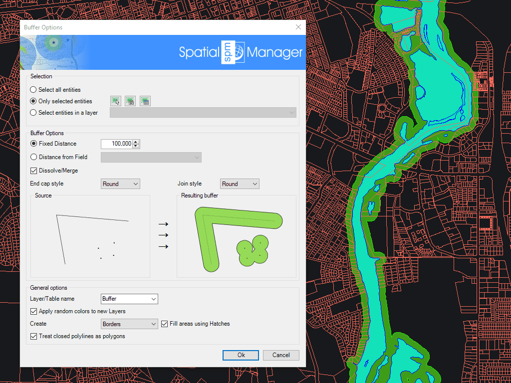
Spatial Manager creates buffer polygons around points to show the area within a chosen distance of each location. This is useful for showing a facility’s service area or finding objects... more

Mapflow is a cutting-edge geospatial intelligence platform leveraging artificial intelligence to automatically identify and classify geographic objects–such as buildings, roads, and forested areas–within satellite and aerial imagery. Mapflow enables high-precision... more

In this third example on spatial analysis using Overlays in ‘Spatial Manager’ we will apply the “Intersect” operator. This operator determines the geometries that overlap in the Source and Overlay... more

In this second post dealing with Overlays in ‘Spatial Manager’, we will analyze another interesting operator (Clip), which creates objects from the areas of the Source that overlap with the... more