Vorgegebene Kartendienste
Verbessert in V10Zugriff auf vielfältige, hochwertige Hintergrundkarten von mehreren Anbietern
Entdecken Sie das volle Potenzial dieses Werkzeugsatzes, der entwickelt wurde, um die Integration und Bearbeitung von GIS-Daten inzu verbessern.
Google Maps
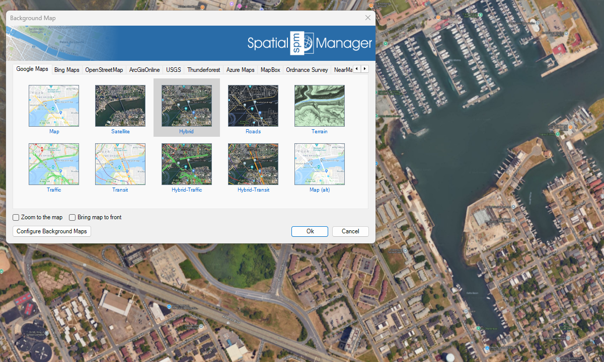
Bing Maps

OpenStreetMap
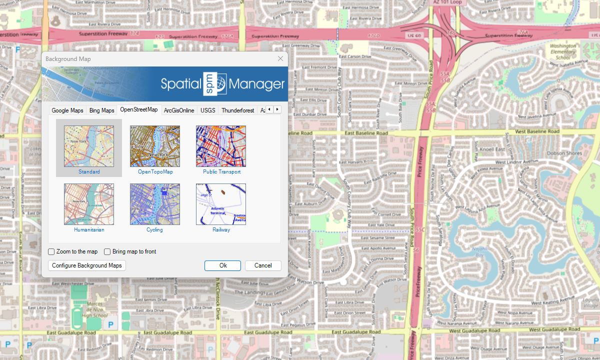
ArcGIS

USGS

Azure Maps
Neu in V10
Sonstige

Hinweise

Schnelle Änderung des Kartenhintergrunds, indem Sie auf Basiskarten zwischen Volltonfarben oder georeferenzierten Bildern hoher Qualität wählen
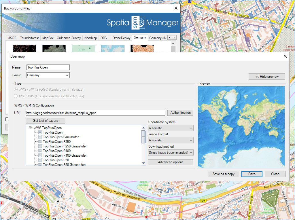
Konfigurieren neuer Gruppen und Karten mit einem Minimum von Dateneingaben. Es gibt auch Tools, mit denen Sie die Kartenkonfigurationsdaten bearbeiten oder aus der Liste löschen können

Mapflow is a cutting-edge geospatial intelligence platform leveraging artificial intelligence to automatically identify and classify geographic objects–such as buildings, roads, and forested areas–within satellite and aerial imagery. Mapflow enables high-precision... more

The Farm Service Agency of the U.S. Department of Agriculture (USDA) provides web services for accessing the National Agriculture Imagery Program (NAIP). Spatial Manager products provide an easy way to... more

In this post we will review the tools provided by ‘Spatial Manager’ for accessing geographic dataset services, both imagery and vector. This example will use some of the datasets provided... more

‘Airbus OneAtlas’ service provide access to high-resolution satellite imagery, innovative geospatial analytics and industry-specific insights. This post explains how to configure ‘Spatial Manager’ Background Maps in order to dynamically access... more