The recently released ‘Spatial Manager for AutoCAD’ version 3.3.2 adds AutoCAD 2018 (and other Autodesk 2018 products) compatibility. Try it today
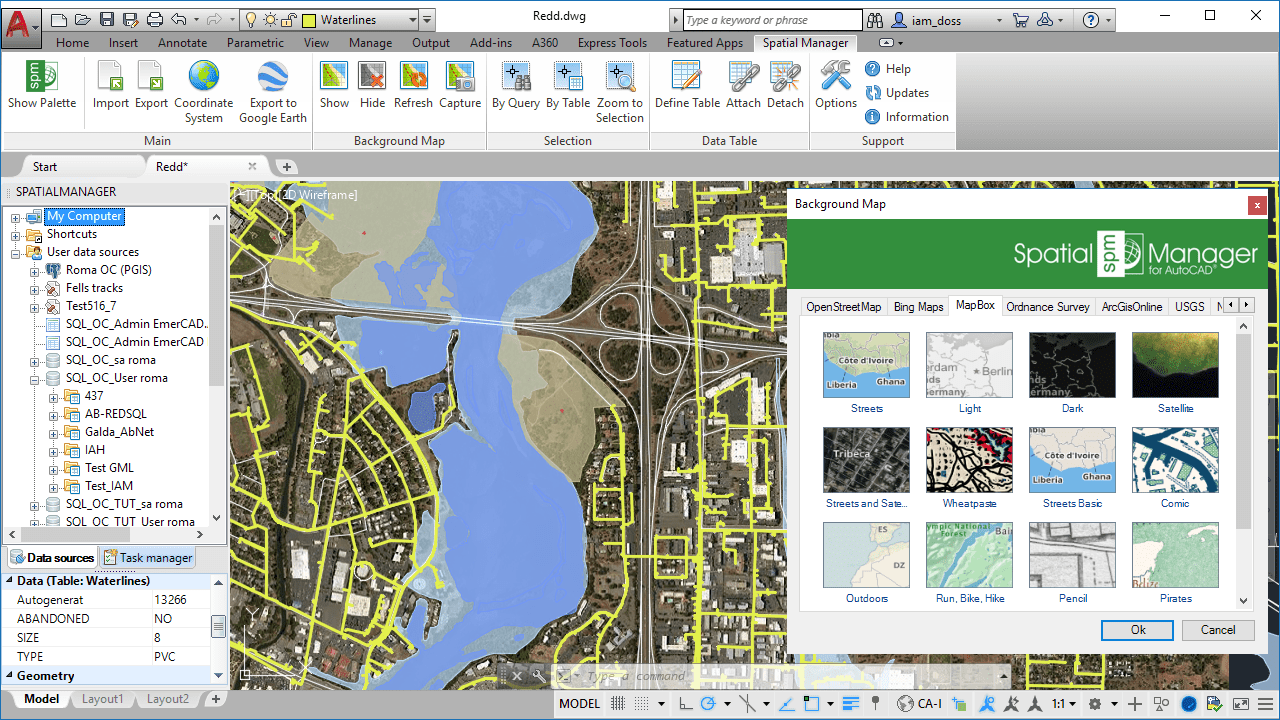
If you need to import/export spatial or GIS data into/from AutoCAD 2008 to 2018 (*), and many other tools to manage spatial data, such as publishing to Google Earth, transformation of coordinates, background base maps, alphanumeric data tables, filtering, layer thematics, automatic labeling, etc., ‘Spatial Manager for AutoCAD’ is the best solution for you
(*) And other related Autodesk products
Spatial Manager for AutoCAD 2018 compatible
In addition, you will find some other improvements in the version 3.3.2:


