‘Spatial Manager’ (AutoCAD/BricsCAD/ZWCAD) provides a wide range of tools that allow you to stylize the imported graphic objects in order to quickly identify different events or conditions using different colors, symbols, patterns, etc. What is commonly known as a “Thematic Map”, can be easily produced when importing spatial data by applying these tools
Related videos: AutoCAD / BricsCAD / ZWCAD
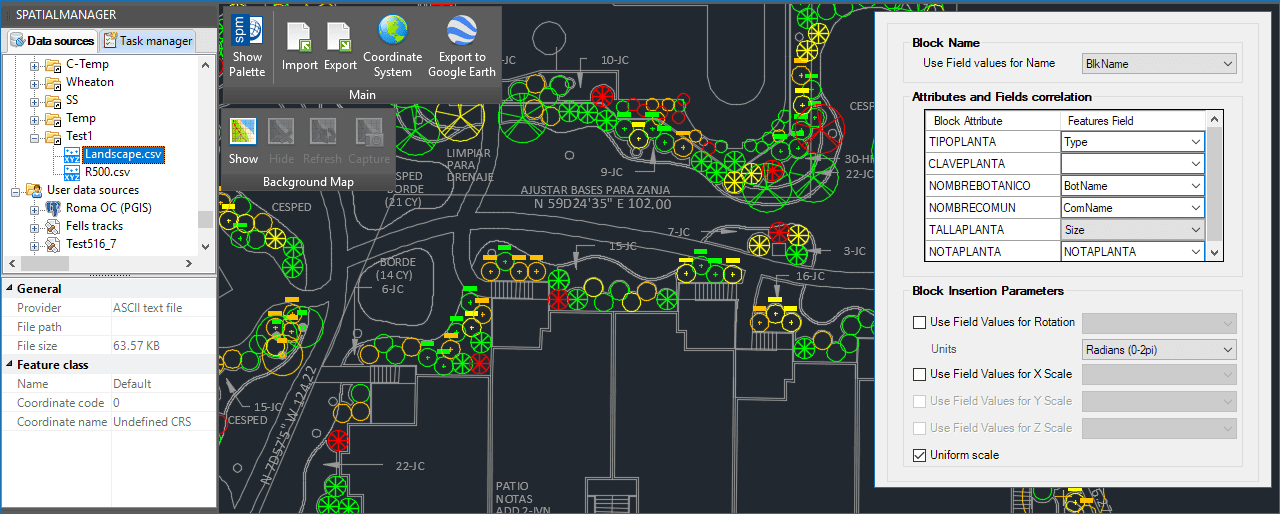
Importing different Blocks in different Layers
In the first example that you can see in the above videos, a variety of plant symbols are imported from a table (Excel, Access, CSV, etc.) into a landscape drawing
Among the data in the table, you can find the name of the Block reference to be used for each plant species as well as the current condition of the plant, which will be used to distribute them in different layers according to their status
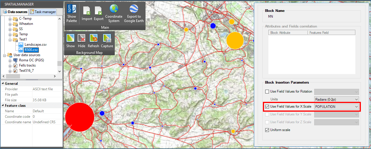
Applying different Block scales while separating by Layers
In the second one, the data for urban areas located in a French region are also imported from a table. Here are two important things to keep in mind when stylizing objects: On the one hand, we have the census of the residents of each area (Population), and on the other hand, the administrative status of the city or village
Taking advantage of the ‘Spatial Manager’ options to stylize Blocks when importing Point objects, we will use the same Block reference for the representation of all areas (a filled circle) but automatically modifying the scales from the Population data. As in the first example, we will use the Layers distribution to represent the different administrative typologies
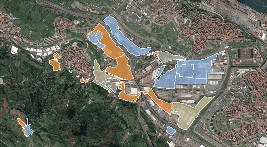
Although here we have only reviewed the possibilities of stylizing Point elements when importing, we remind you of many other options such as fill differentiation for Polygons (take a look at the samples in this Blog entry), automatic object labeling (check out this other Blog entry), etc.
Learn more about how to import and stylize Spatial Data in your drawings:


