Buffer in ZWCAD
Generate Buffered polygons around point, linear or polygonal objects
Buffer
You can create these buffer areas as new polygonal objects, which are useful for analyzing proximity, impact areas, or zones of influence.
This tool is ideal for tasks like identifying areas within a certain radius of a road, facility, or geographic feature.
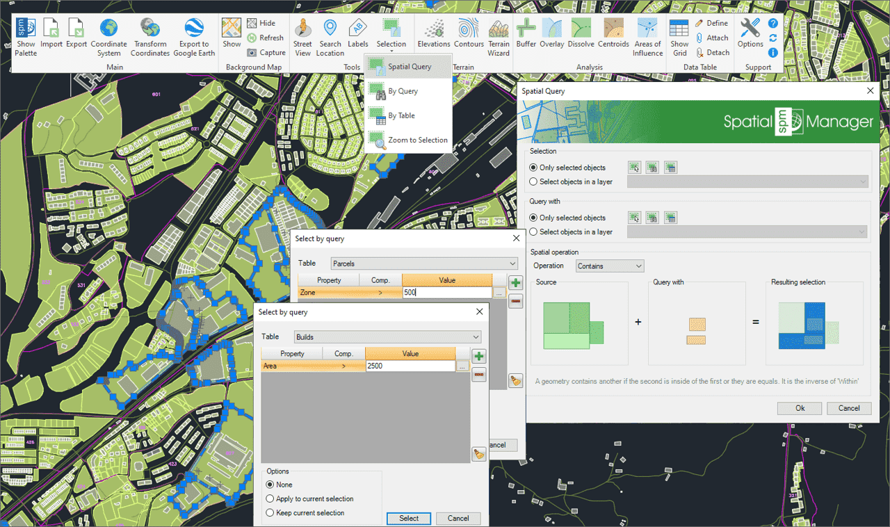
Select objects in the drawing according to the result of advanced simple or compound spatial queries by the following geometric operations.
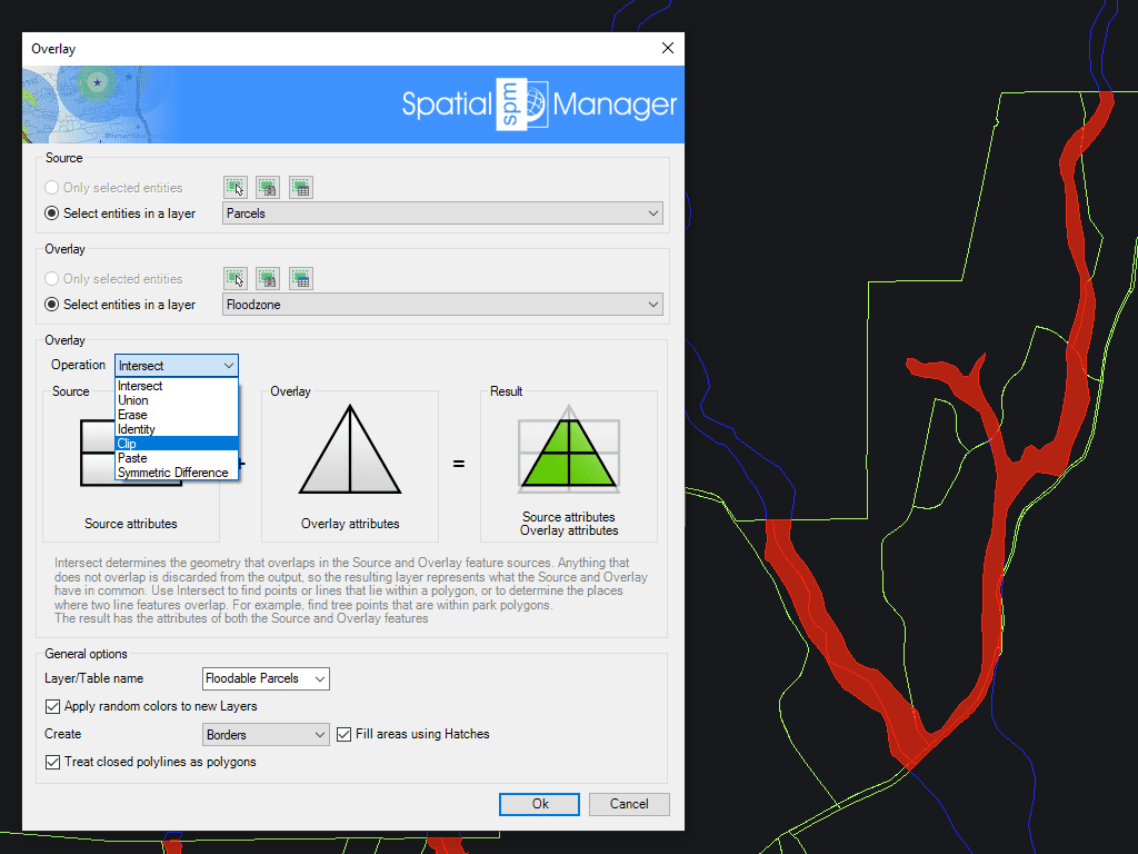
Allows you to create new objects based on geometric and data operations between two existing object groups. These operations are: Intersect, Union, Erase, Identity, Clip, Paste and Symmetric Difference.
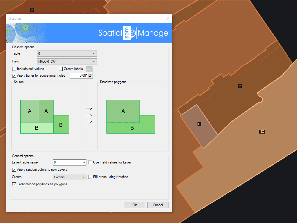
Generate new Polygons based on the grouping of other adjacent polygons with some common data
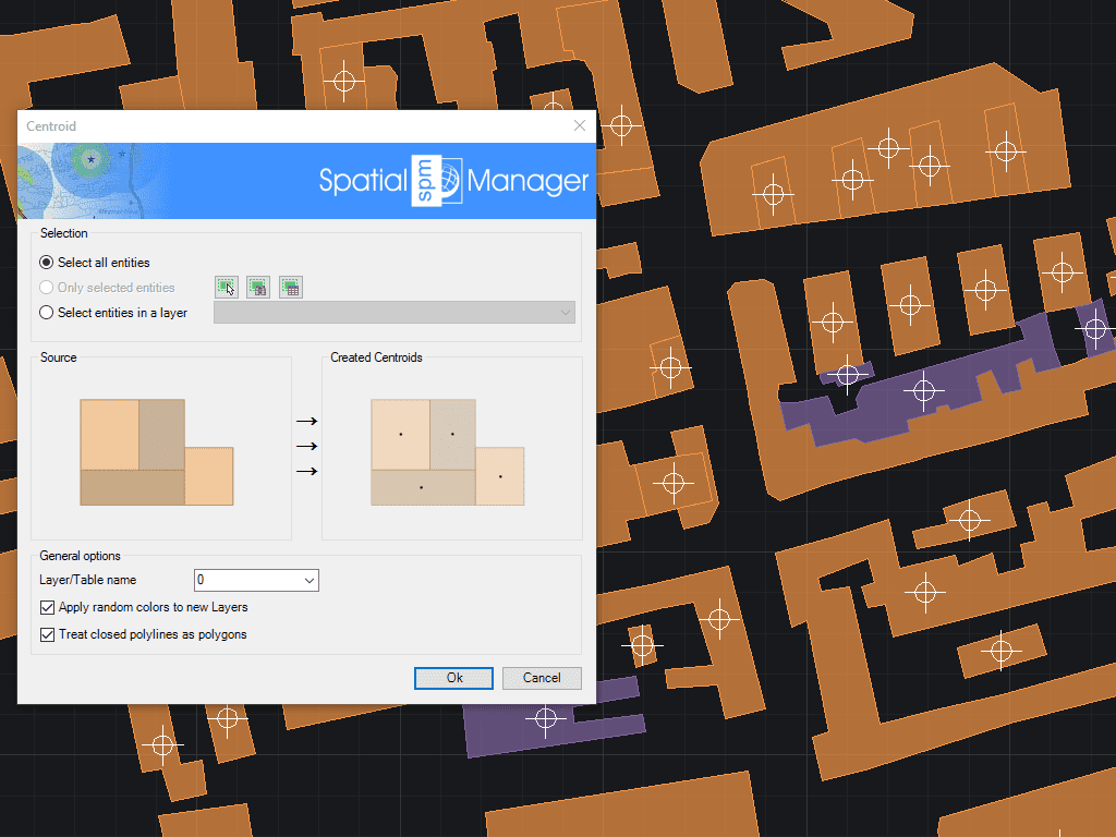
Allows you to generate polygon Centroids (Point objects) by adopting the polygons data, or add Centroids data to the polygons that contain them
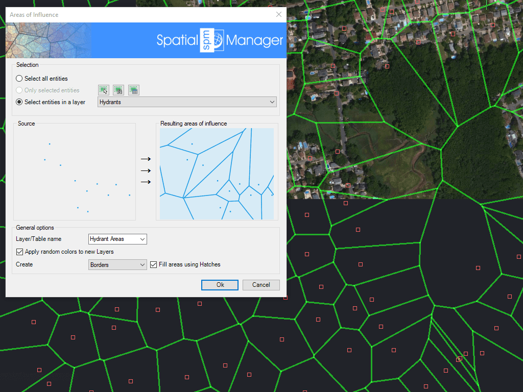
Creates polygons defined by the sets of points closest to each point of a selection in the drawing (Voronoi diagrams)

Spatial Manager creates buffer polygons around points to show the area within a chosen distance of each location. This is useful for showing a facility’s service area or finding objects... more

Mapflow is a cutting-edge geospatial intelligence platform leveraging artificial intelligence to automatically identify and classify geographic objects–such as buildings, roads, and forested areas–within satellite and aerial imagery. Mapflow enables high-precision... more

In this third example on spatial analysis using Overlays in ‘Spatial Manager’ we will apply the “Intersect” operator. This operator determines the geometries that overlap in the Source and Overlay... more

In this second post dealing with Overlays in ‘Spatial Manager’, we will analyze another interesting operator (Clip), which creates objects from the areas of the Source that overlap with the... more