One year support included in ZWCAD
All Spatial Manager™ for ZWCAD licenses include 1 year of updates and support. A 3-year option is also available at a discounted price

One year support included
- Download application Updates during this time period, which will include many news, improvements, fixes and compatibility with upcoming ZWCAD versions.
- Email support, attended directly by our technical team.

The licenses are perpetual and do not expire. All purchases are one-time payments — there are no recurring charges or subscriptions
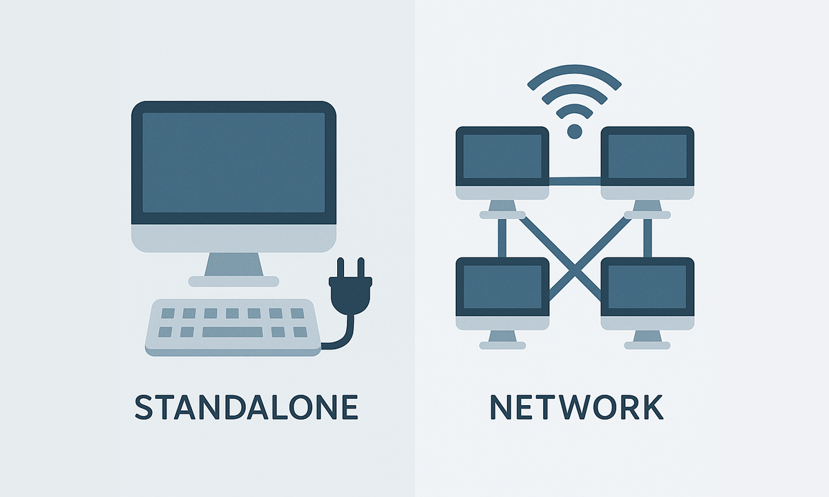
Standalone licenses for Spatial Manager™ for ZWCAD can be used simultaneously on as many computers as seats purchased, while network licenses allow installation on up to 3× the seats but simultaneous use only up to the number of seats

Automatically identifies intersections between line geometries and creates polygons (closed polylines) from the resulting closed shapes. This powerful tool is ideal for converting complex line networks–such as cadastral boundaries, city... more

Groups individual points by their data and connects them to create polylines, either by following their sequence or by using a chosen attribute to define the order. This advanced functionality... more

Divides geometries that intersect a specified line, effectively splitting them at the points of intersection. This tool is valuable for editing or preparing data for subsequent processes that require segmented... more

Transforms complex curve geometries–including arcs, splines, circles, and polylines with arcs–into polyline objects. This conversion simplifies editing tasks and improves interoperability with both CAD and GIS workflows. It is particularly... more