Polygon centroids in GstarCAD
Allows you to generate polygon Centroids (Point objects) by adopting the polygons data, or add Centroids data to the polygons that contain them
Polygon centroids
- Generate centroids: Create centroid points for selected polygons, automatically attaching the polygons’ attribute data to the new centroid objects.
- Capture centroid data: Transfer data from selected centroid points back to copies of the polygons that contain them. This allows enriching polygon attributes with information derived from their centroids.
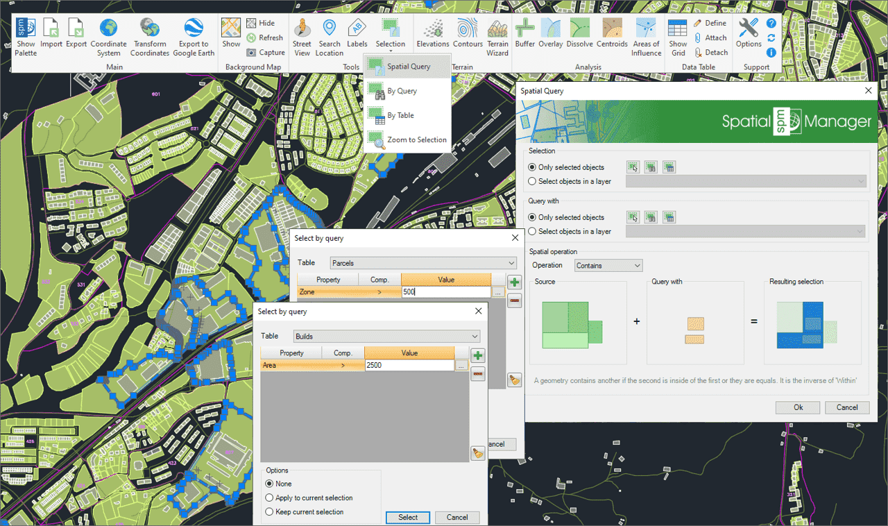
Select objects in the drawing according to the result of advanced simple or compound spatial queries by the following geometric operations.
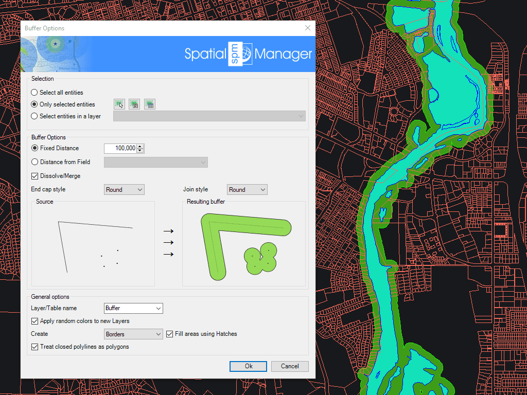
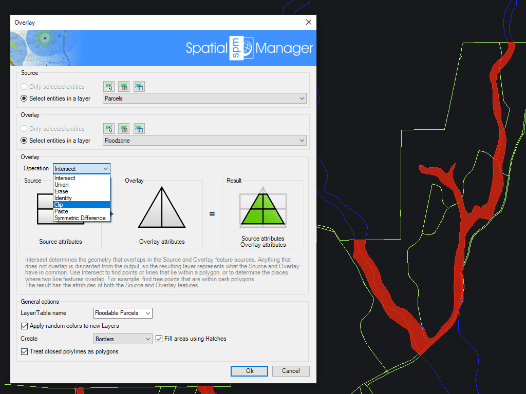
Allows you to create new objects based on geometric and data operations between two existing object groups. These operations are: Intersect, Union, Erase, Identity, Clip, Paste and Symmetric Difference.
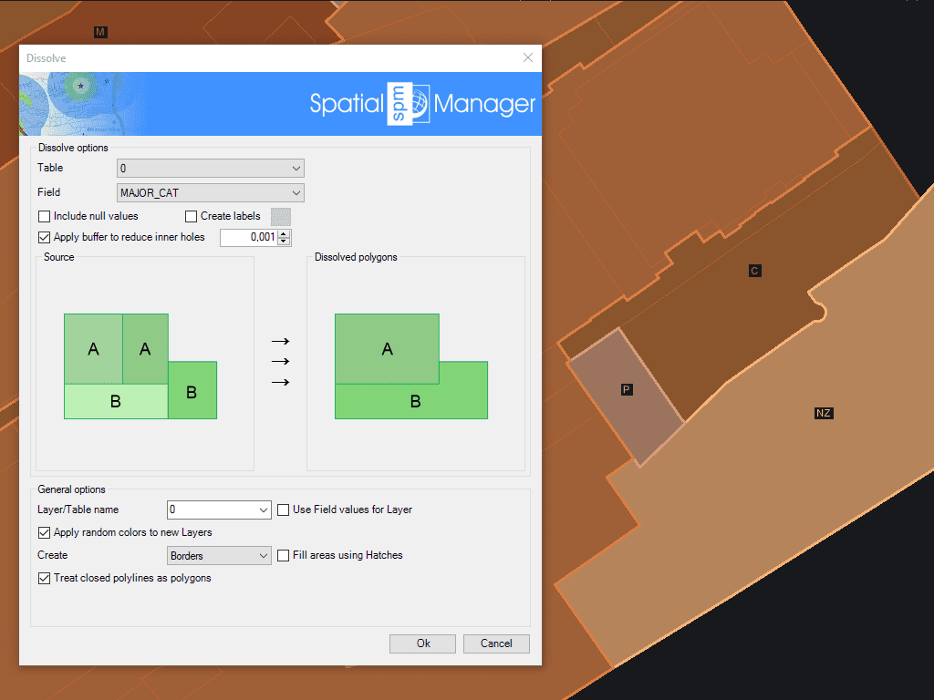
Generate new Polygons based on the grouping of other adjacent polygons with some common data
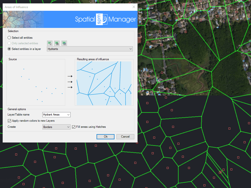
Creates polygons defined by the sets of points closest to each point of a selection in the drawing (Voronoi diagrams)

Mapflow is a cutting-edge geospatial intelligence platform leveraging artificial intelligence to automatically identify and classify geographic objects–such as buildings, roads, and forested areas–within satellite and aerial imagery. Mapflow enables high-precision... more

In this third example on spatial analysis using Overlays in ‘Spatial Manager’ we will apply the “Intersect” operator. This operator determines the geometries that overlap in the Source and Overlay... more

In this second post dealing with Overlays in ‘Spatial Manager’, we will analyze another interesting operator (Clip), which creates objects from the areas of the Source that overlap with the... more

This post starts a series dedicated to one of the most powerful geometric and data-driven analysis tools included in ‘Spatial Manager’: the Overlay command. There are several operators to apply... more