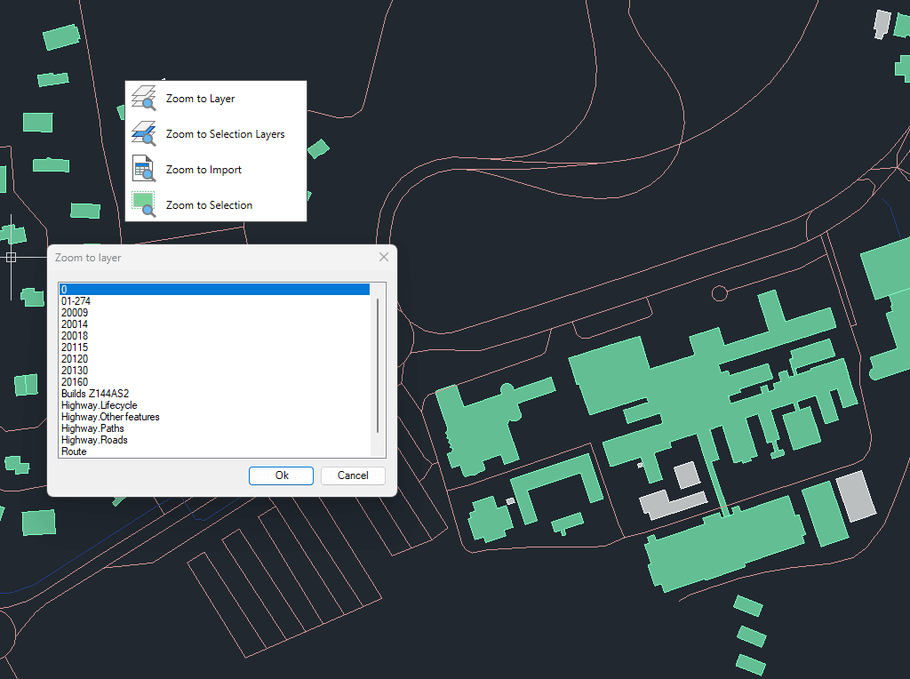
Enables quick zooming to improve navigation and focus within your drawings.
You can zoom to objects on selected layers, to objects on the layers of currently selected objects, to the results of the last import operation, or directly to selected objects.
This functionality helps streamline workflows by quickly centering the view on relevant spatial data.
Quickly switch polylines between 2D and 3D formats directly in your drawing. The tool maintains accuracy and consistency throughout the process, retaining essential properties of the original polylines whenever feasible.... more
Spatial Manager have some utilities for working with terrains and elevations, one of them allows to search elevations for existing points. Doing some steps it is possible to create a... more
Google Earth internally works with meters as elevation units and this can be an obstacle when feet are the desired measurement units. This tutorial explains an easy workaround for viewing... more
This article explains how to start a drafting or design project using a Google Earth imagery base. It provides step-by-step instructions on how to overlay drawings, plans, or architectural projects... more