Quick KML and KMZ creation in BricsCAD
Regardless of the advanced Export capabilities of the application, the user will find a specific tool to Export all or part of the objects in the visible Layers of the drawing and their data, to a KML or KMZ file (Google Earth) through a one-click operation
Quick KML and KMZ creation
This one-click export simplifies sharing and visualization of spatial information outside BricsCAD.
Additionally, if Google Earth is installed on your system, the exported file can be opened directly from the application, facilitating immediate review and analysis of your data in a geographic context.
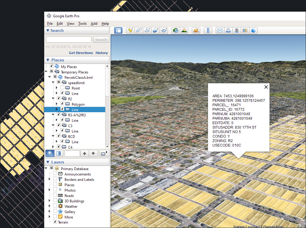
The process will consider the current Layers organization and the properties of the Layers and objects. The elements in the KML/KMZ file will assume the colors, weights, etc. of the objects in the drawing
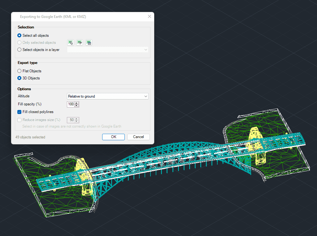
3D modeled objects are exported to Google Earth (KML/KMZ) in a very easy and intuitive way

Easily convert your DWG/DXF files to KML/KMZ for Google Earth quickly and accurately. You can export the entire drawing or only a selection of specific objects, preserving the structure, layers,... more

Google Earth internally uses meters for elevation units, which can be an obstacle when feet are required. This tutorial explains an easy workaround for viewing contour elevation values in Google... more

This article explains how to start a drafting or design project using a Google Earth imagery base. It provides step-by-step instructions on how to overlay drawings, plans, or architectural projects... more

Download historical imagery directly from Google Earth to your DWG using your preferred CAD platform for enhanced accuracy and analysis. Get aerial photographs from different dates and compare the evolution... more