CRS customization in BricsCAD
Load custom grid files and define custom coordinate systems
Discover the full potential of this set of tools designed to enhance GIS data integration and editing within BricsCAD.
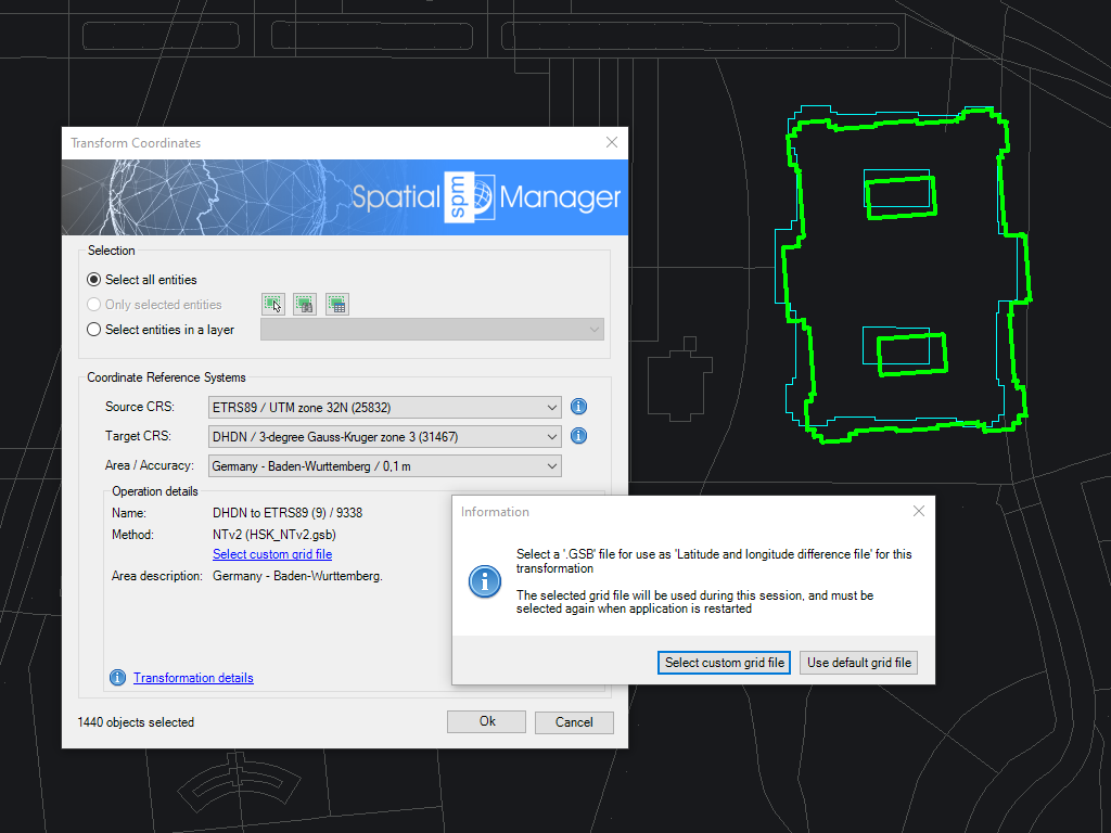
Custom grid files
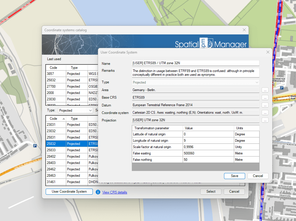
Custom Coordinate Systems
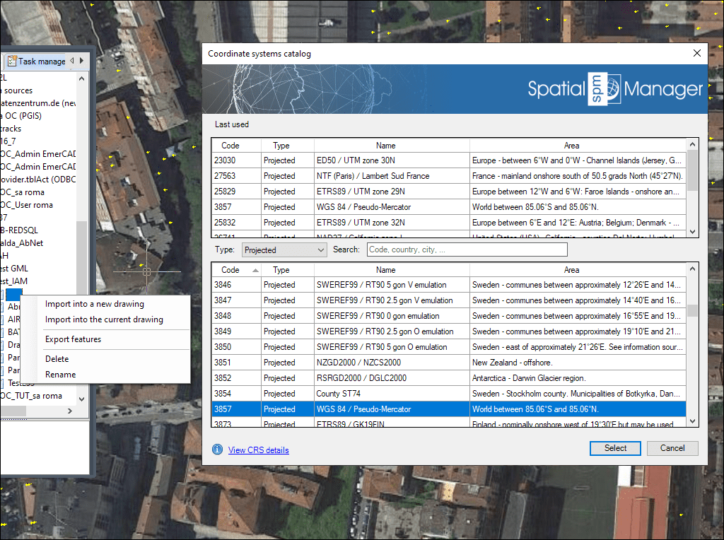
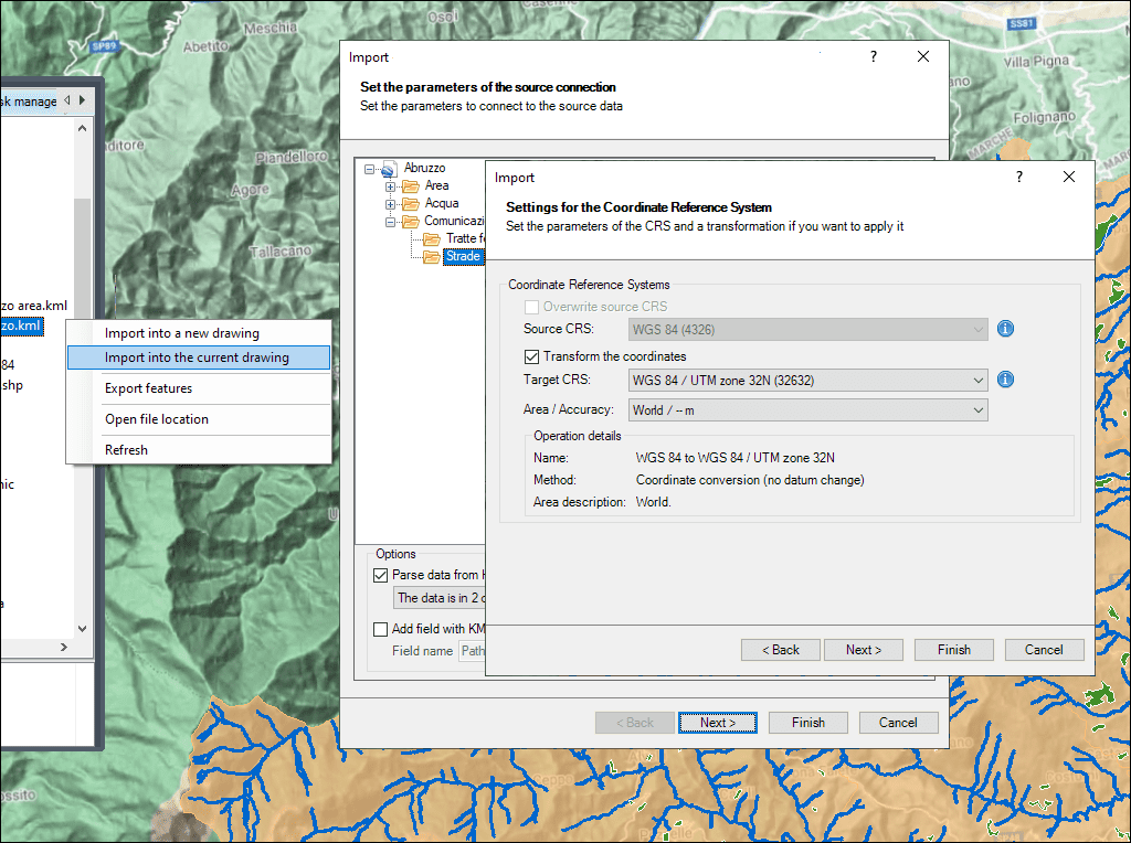
Automatic coordinate transformation with selectable accuracy variants
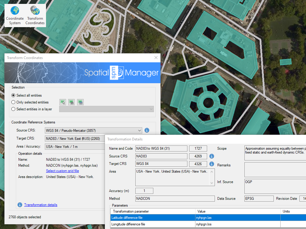
Transform the Coordinate System (CRS) of a whole drawing or a set of selected objects, which automatically creates a new drawing including geometrically regenerated objects from the current drawing according to the chosen transformation between two CRSs
* Only available in Professional edition

Rubber sheeting refers to a method in mapping and surveying where a map or spatial data is adjusted or “stretched” to align with a reference map or coordinate system. This... more

When working with data sets from different sources, there are often differences in alignment between elements. The SPMRUBBERSHEET command allows you to select base points and reference points to modify... more

Many ‘Spatial Manager’ functions (Import, Export, Background Maps, etc.) can automatically perform a process of coordinates Transformation from the source to the target as part of the sequence executed by... more

The functionality of transforming the coordinate system (CRS) of a drawing in ONE STEP is one of the tools most requested by the application users. This operation, which in some... more