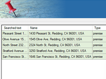
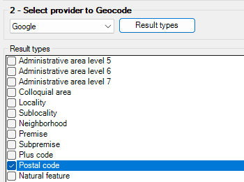
Spatial Manager™ pour ZWCAD propose un outil de recherche de localisation intuitif qui vous permet de trouver rapidement et précisément des adresses, rues, quartiers ou éléments géographiques dans votre dessin.
Il vous suffit de saisir un nom de lieu ou une adresse dans la fenêtre de recherche, et le logiciel effectue un zoom automatique sur l’emplacement ou insère sa géométrie ou sa boîte englobante dans votre projet.
Reverse geocoding is the process of converting geographic coordinates (latitude and longitude) into a human-readable address or place name. This is typically done using a reverse geocoding service or API,... more
Direct geocoding is the process of converting an address or a place name into geographic coordinates (latitude and longitude). This is typically done using a geocoding service or API, which... more
We are all increasingly familiar to locate places on a map using Google Maps or similar services, but what about being able to do it directly on our drawings or... more
Within this interesting example we show how to include, on an existing AutoCAD or BricsCAD drawing of a city, locations from a list of addresses as points (Blocks) on the drawing, using... more