Importation de photos avec données GPS EXIF dans ZWCAD
Importation de photographies avec localisation GPS (contenue dans les données EXIF), capturées au moment où elles ont été prises et placées à leur emplacement correct dans le dessin automatiquement lors de l'importation
Importation de photos avec données GPS EXIF
Lors de l’importation, les photos sont automatiquement positionnées à leurs emplacements géographiques précis dans le dessin, reflétant l’endroit exact où elles ont été prises.
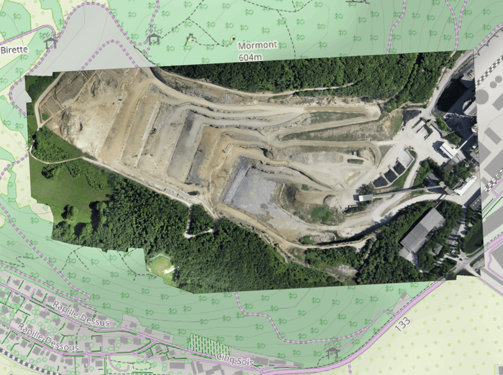
Importation d'images raster géoréférencées dans le dessin. Prend en charge une variété de formats tels que TIF, PNG, JPG, JPEG, TIFF, Cloud Optimized GeoTIFF, ... (Liste des Fournisseurs de Données).
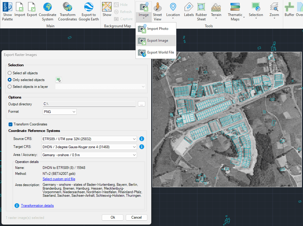
Exportation d'images raster géoréférencées à partir du dessin. Prise en charge d'une grande variété de formats géoréférencés tels que TIF, PNG, JPG, ...(Liste des Fournisseurs de Données).
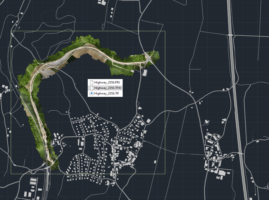
Exporter vers un fichier externe les informations de géoréférence complètes de toute image matricielle contenue dans votre dessin
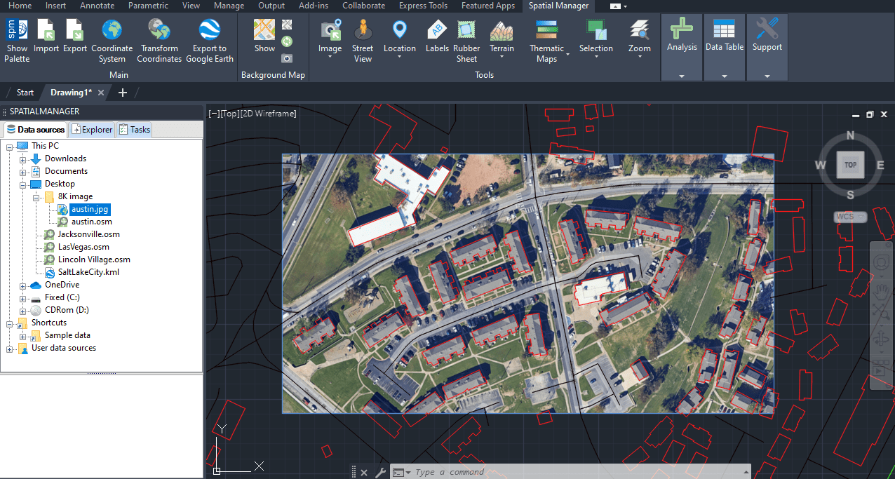
Importer des haute qualité et historique images depuis Google Earth à l'aide d'un fichier de configuration (.geprint) qui stocke les options de la carte et sa géolocalisation

This article explains how to start a drafting or design project using a Google Earth imagery base. It provides step-by-step instructions on how to overlay drawings, plans, or architectural projects... more

Download historical imagery directly from Google Earth to your DWG using your preferred CAD platform for enhanced accuracy and analysis. Get aerial photographs from different dates and compare the evolution... more

Learn quickly and easily how to integrate Google Earth high-quality images with your DWG using your preferred CAD platform. A wide range of resolutions are available up to 8K UHD,... more

Today, it is very common to get photographs with embedded GPS locations. You can take these kinds of pictures easily with your own phone or camera. Latitude and longitude are... more