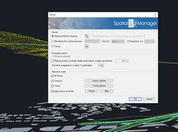
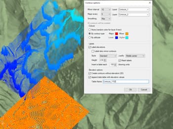
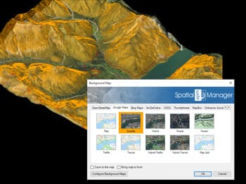
Avec Spatial Manager™, vous pouvez facilement générer des surfaces de terrain à partir des Points Civils de BricsCAD.
Cette fonctionnalité simplifie et accélère votre flux de travail en reconnaissant automatiquement les données d’élévation des groupes de points sélectionnés. Le résultat est un modèle de surface détaillé et précis pouvant être utilisé pour des analyses topographiques supplémentaires, des tâches de conception ou comme base pour générer des courbes de niveau et des visualisations 3D — le tout sans quitter votre environnement BricsCAD.
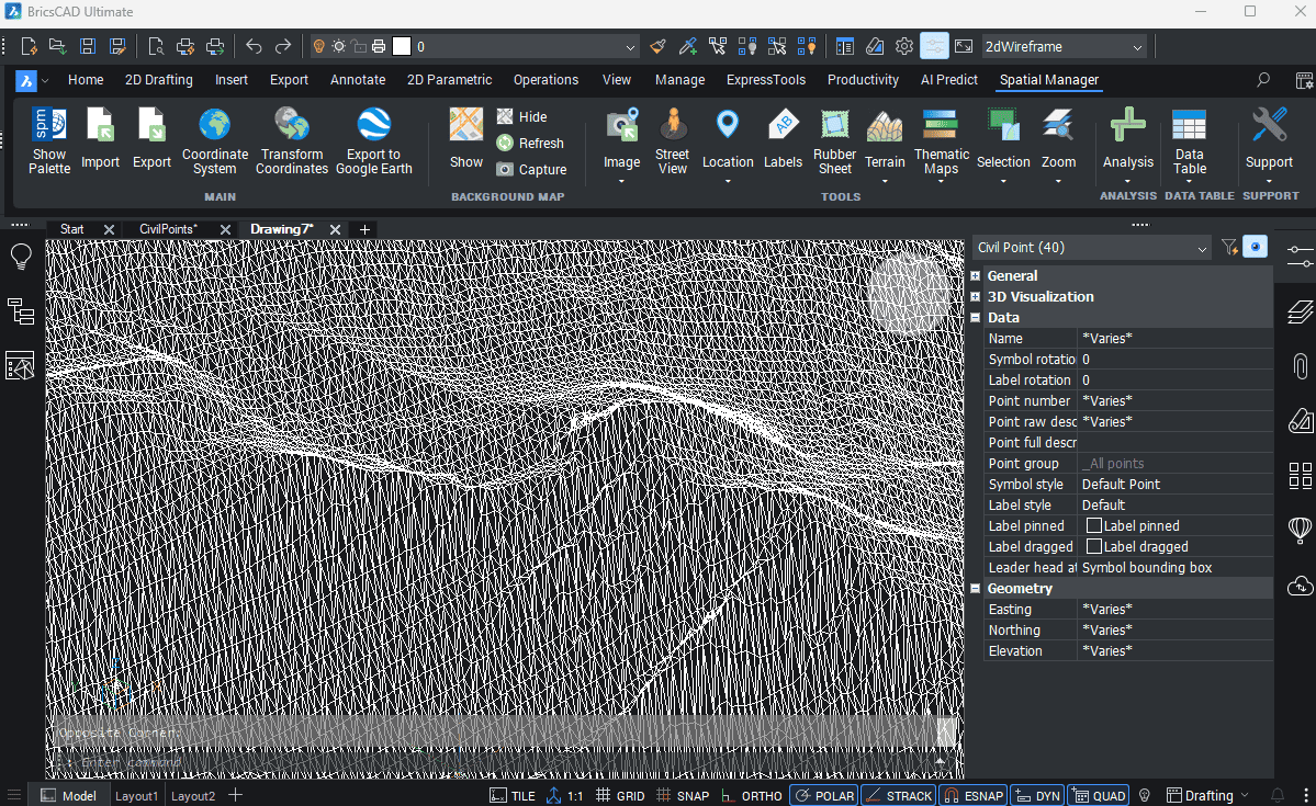
Spatial Manager have some utilities for working with terrains and elevations, one of them allows to search elevations for existing points. Doing some steps it is possible to create a... more
Spatial Manager (CAD versions) includes the option to Insert Nodes when importing objects such as Polylines or Polygons. These nodes can be created as Points or as Block Inserts (if... more
In order to enhance the visibility of Contour Labels, ‘Spatial Manager’ (CAD versions) now includes some new options which can also be applied to the object Labels while Importing. In... more
Spatial Manager Terrain Assistant, available in the CAD versions (AutoCAD, BricsCAD and ZWCAD), provides the user with intuitive tools for processing 2D/3D Terrain information (Points, Contours, and Digital Terrain Models).... more