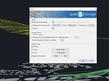
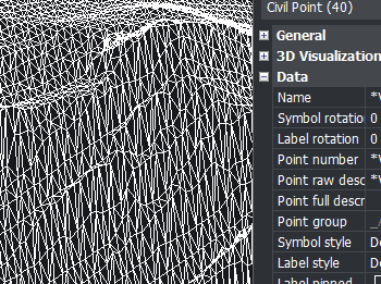
Générez des modèles de terrain 3D réalistes dans BricsCAD en utilisant des objets 3D sélectionnés tels que points, blocs, courbes de niveau ou maillages existants.
Spatial Manager™ crée automatiquement des surfaces 3D qui représentent fidèlement la topographie. Améliorez ces terrains en projetant et en ajustant n’importe quelle carte de fond — prédéfinie ou personnalisée — sur la surface.
La carte est adaptée à la géométrie du terrain à sa géolocalisation réelle, fournissant un modèle visuellement riche et géographiquement précis.
Spatial Manager have some utilities for working with terrains and elevations, one of them allows to search elevations for existing points. Doing some steps it is possible to create a... more
Spatial Manager (CAD versions) includes the option to Insert Nodes when importing objects such as Polylines or Polygons. These nodes can be created as Points or as Block Inserts (if... more
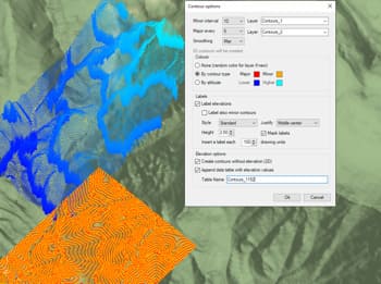
In order to enhance the visibility of Contour Labels, ‘Spatial Manager’ (CAD versions) now includes some new options which can also be applied to the object Labels while Importing. In... more
Spatial Manager Terrain Assistant, available in the CAD versions (AutoCAD, BricsCAD and ZWCAD), provides the user with intuitive tools for processing 2D/3D Terrain information (Points, Contours, and Digital Terrain Models).... more