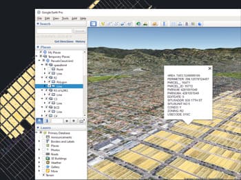
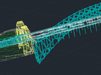
Fournit un outil simplifié pour exporter rapidement tous les objets ou des objets sélectionnés des calques visibles du dessin, y compris leurs données associées, vers des fichiers KML ou KMZ compatibles avec Google Earth.
Cette exportation en un clic facilite le partage et la visualisation des informations spatiales en dehors de BricsCAD.
De plus, si Google Earth est installé sur le système, le fichier exporté peut être ouvert directement depuis l’application, permettant une révision et une analyse immédiates des données dans un contexte géographique.
Google Earth internally works with meters as elevation units and this can be an obstacle when feet are the desired measurement units. This tutorial explains an easy workaround for viewing... more
This article explains how to start a drafting or design project using a Google Earth imagery base. It provides step-by-step instructions on how to overlay drawings, plans, or architectural projects... more
Download historical imagery directly from Google Earth to your DWG using your preferred CAD platform for enhanced accuracy and analysis. Get aerial photographs from different dates and compare the evolution... more
Learn quickly and easily how to integrate Google Earth high quality images with your DWG using your preferred CAD platform. A wide range of resolutions are available up to 8K... more