Exportation des objets 3D vers KML et KMZ dans BricsCAD
Les objets modélisés en 3D sont exportés vers Google Earth (KML/KMZ) de manière très simple et intuitive
Exportation des objets 3D vers KML et KMZ
Les utilisateurs peuvent choisir parmi plusieurs modes d’altitude et de hauteur — tels que relatif au sol, au fond marin ou absolu — garantissant une représentation précise des objets dans leur contexte géographique.
Cette flexibilité permet une visualisation précise des données 3D dans Google Earth, améliorant l’analyse spatiale et la présentation.
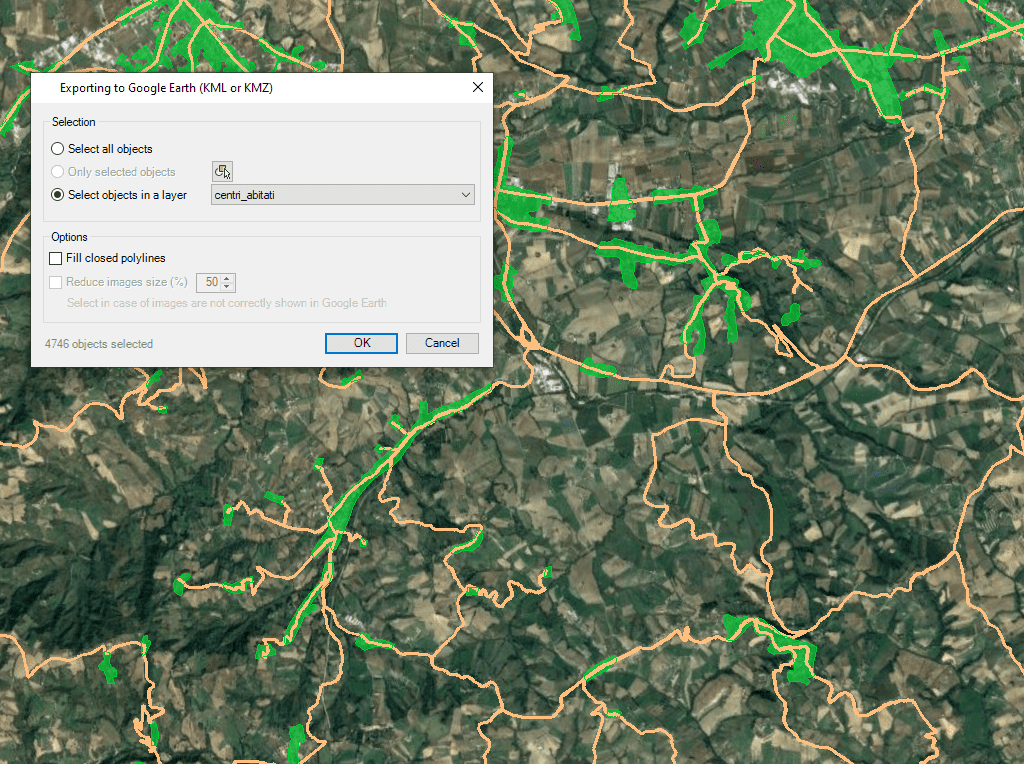
Quelles que soient les capacités avancées d'Exportation de ce logiciel, l'utilisateur trouvera un outil spécifique pour Exporter tout ou partie des objets dans les Calques visibles du dessin et leurs données vers un fichier KML ou KMZ (Google Earth) d'un simple clic
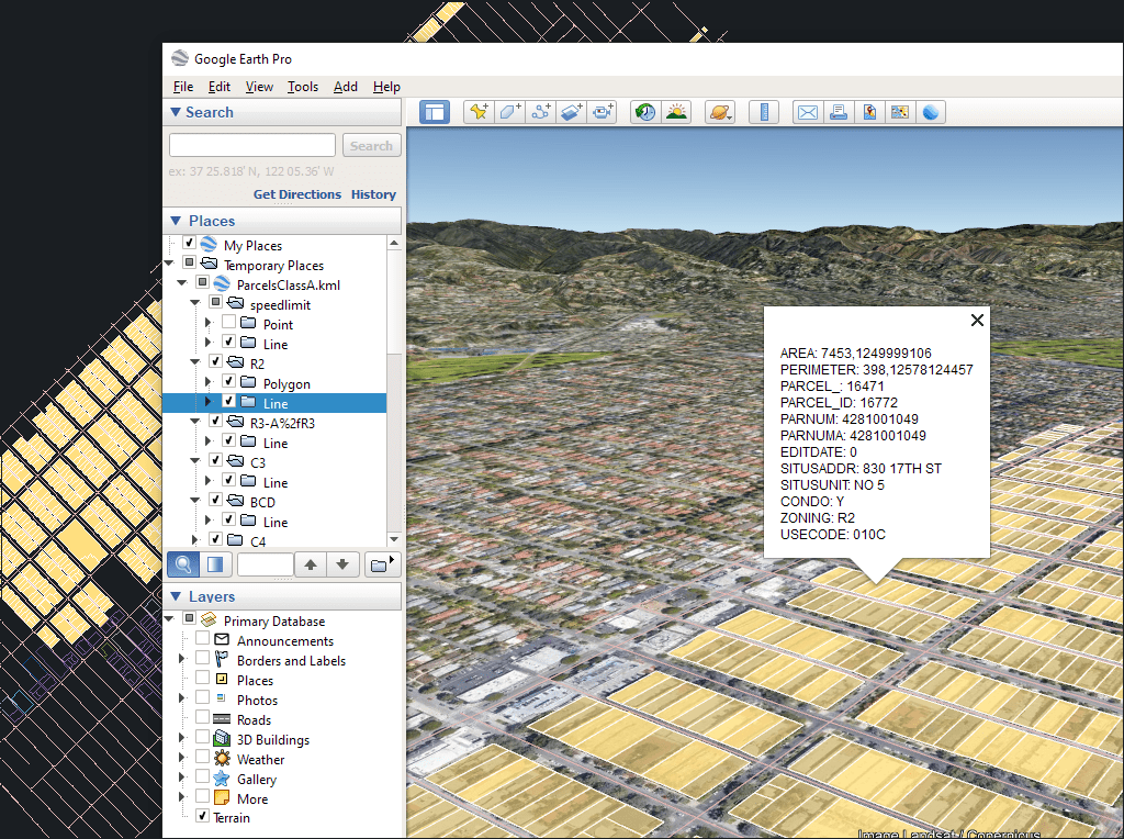
Le processus prendra en compte l'organisation actuelle des Calques et les propriétés des Calques et des objets. Les éléments dans le fichier KML/KMZ assumeront les couleurs, les épaisseurs, etc. des objets du dessin

Easily convert your DWG/DXF files to KML/KMZ for Google Earth quickly and accurately. You can export the entire drawing or only a selection of specific objects, preserving the structure, layers,... more

Google Earth internally uses meters for elevation units, which can be an obstacle when feet are required. This tutorial explains an easy workaround for viewing contour elevation values in Google... more

This article explains how to start a drafting or design project using a Google Earth imagery base. It provides step-by-step instructions on how to overlay drawings, plans, or architectural projects... more

Download historical imagery directly from Google Earth to your DWG using your preferred CAD platform for enhanced accuracy and analysis. Get aerial photographs from different dates and compare the evolution... more