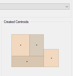
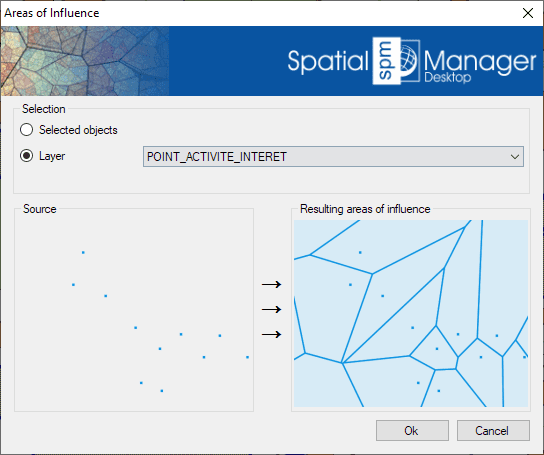
Génère des polygones représentant des zones d’influence autour des points sélectionnés en fonction de la proximité. Ces polygones, appelés diagrammes de Voronoï, définissent les régions les plus proches de chaque point de la sélection.
Chaque polygone résultant hérite des données attributaires de son point correspondant.
Cette fonctionnalité est utile pour des tâches d’analyse spatiale telles que l’identification des zones de couverture des pharmacies dans une municipalité ou des études similaires basées sur la proximité.
Mapflow is a cutting-edge geospatial intelligence platform leveraging artificial intelligence to automatically identify and classify geographic objects—such as buildings, roads, and forested areas—within satellite and aerial imagery.... more
In this third example on spatial analysis using Overlays in ‘Spatial Manager’ we will apply the “Intersect” operator. This operator determines the geometries that overlap in the Source and Overlay... more
In this second post dealing with Overlays in ‘Spatial Manager’, we will analyze another interesting operator (Clip), which creates objects from the areas of the Source that overlap with the... more
This post starts a series dedicated to one of the most powerful geometric and data-driven analysis tools included in ‘Spatial Manager’: the Overlay command. There are several operators to apply... more